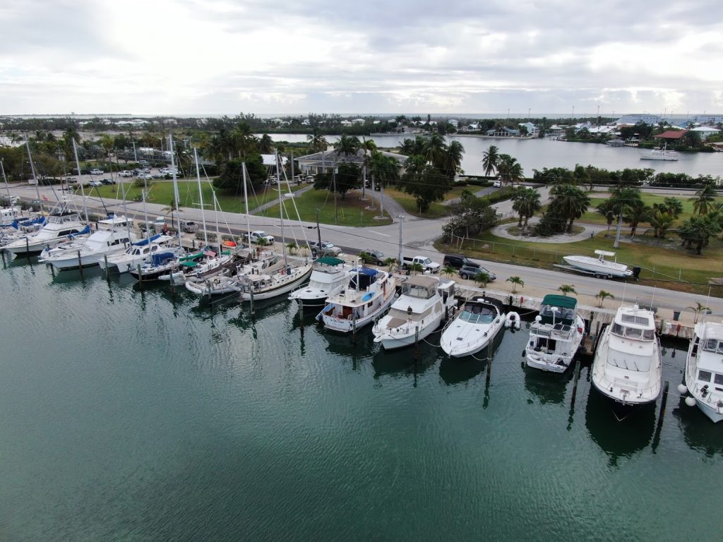
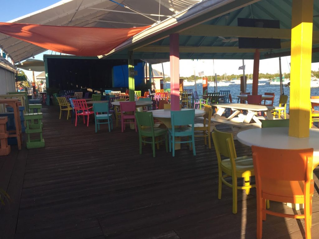
As we settle in to our slip at Sombrero Marina, we discovered that life in the Keys is not like anywhere else. Certainly not like the west coast of Florida, with its glitzy cities like Tampa, Sarasota, Fort Myers, and not like the polished upscale resort towns of Sanibel, Naples, or Marco Island. It’s much more casual, unpretentious, come-as-you-are. The nearby Dockside bar has an interesting array of …characters… who hang out long before the nightly entertainment starts (and in fact, some ARE the entertainment!)
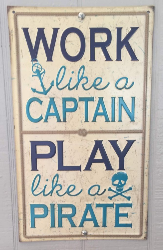
Sign hanging behind the bar at Dockside
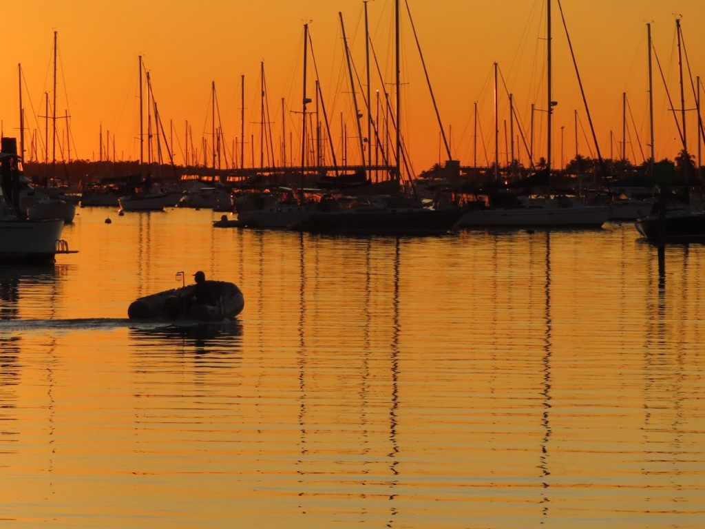
Most of the larger boats have cruised here from somewhere colder, to hang out for the winter, and some older boats seem to have gotten stuck here for many winters, and perhaps never left. We meet quite a few Loopers that we have cruised with before, and some new ones we hadn’t met. Warm days, comfortably cool nights, wind (and more wind), sunsets (and more sunsets), pelicans and manatees, exploring the local happy hour landscape. Riding bikes to the beach (and the store, or to restaurants), using the dinghy to go exploring, putting our bar stocks to good use, it’s like every day is Saturday.
Oh, sure, there are the boat projects, and the general life things that get in the way, too. ‘So, I’ll get to updating my blog later/tomorrow/next week…’
Until then, it’s just sunrise, projects, relax, play, sunset. Repeat. Repeat. Repeat…
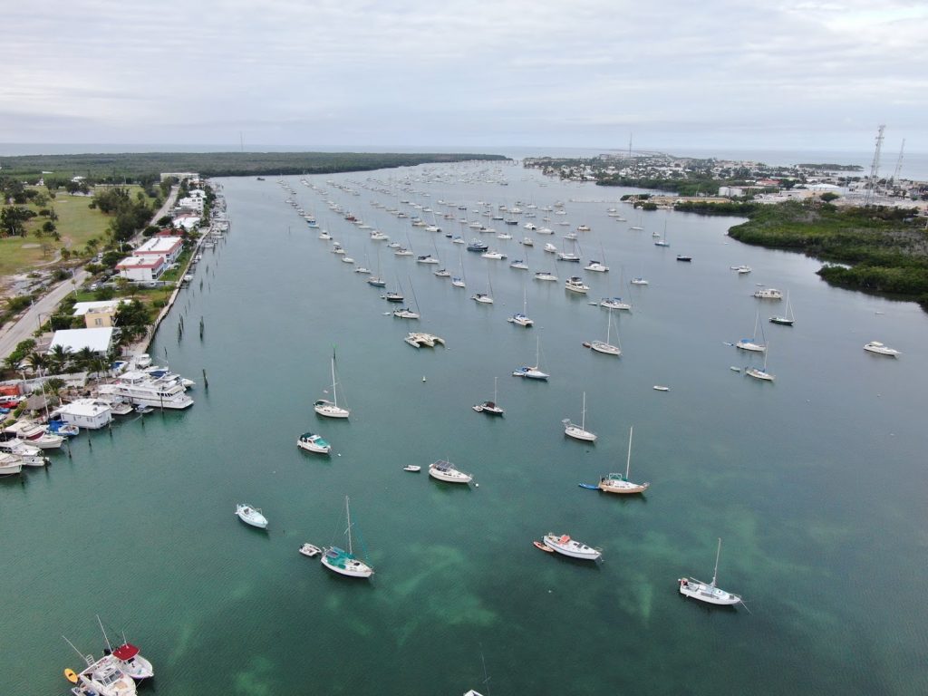
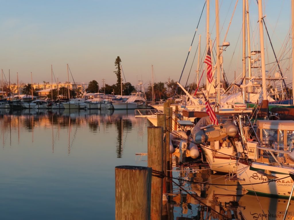
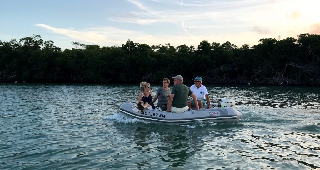
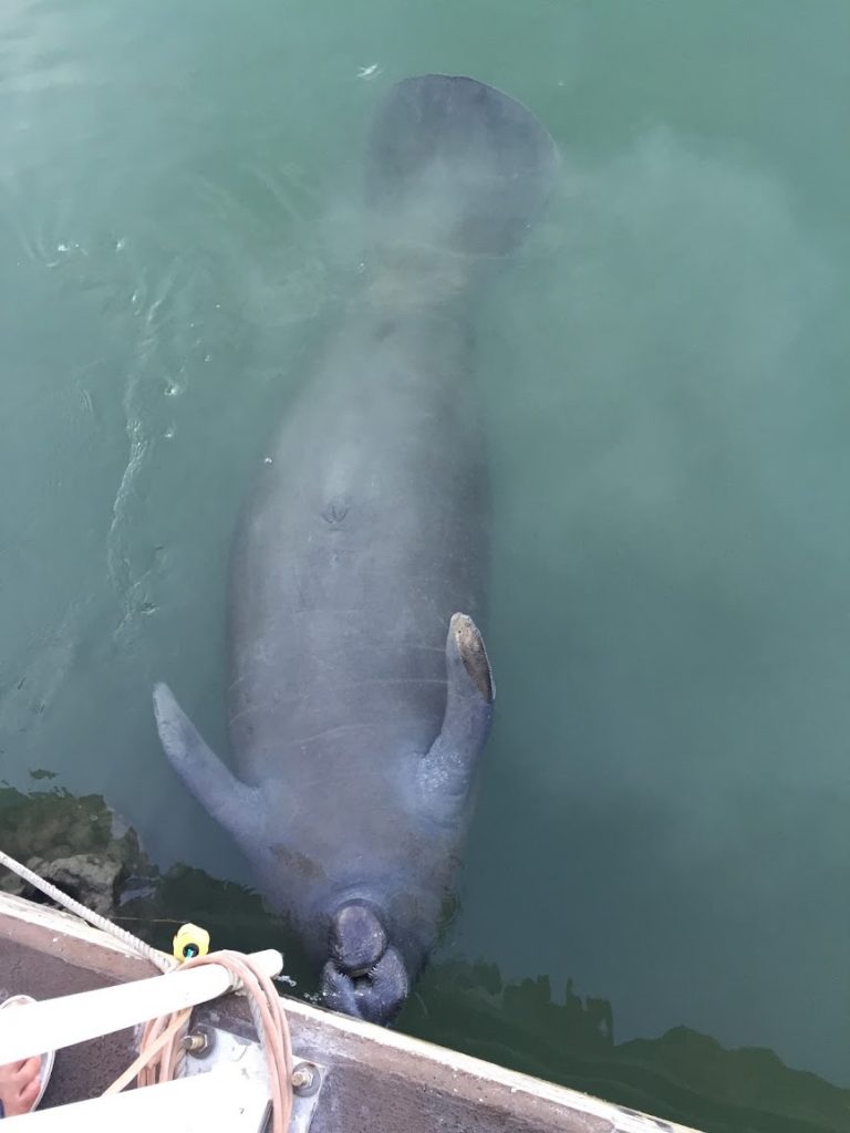
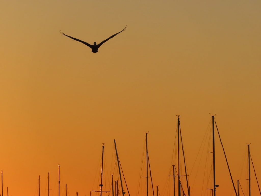
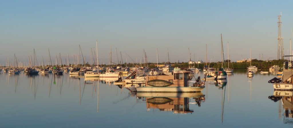
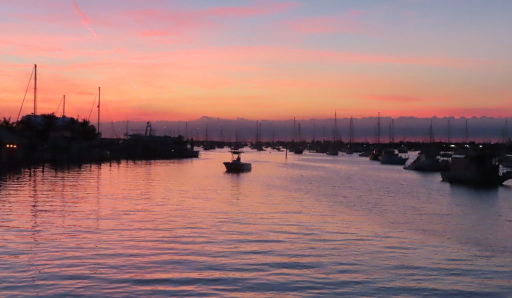
In slip B-13, backing to the golf courseBoot Key Harbor, with nearly 300 city-administered mooring ballsThe view from the front deck, to the east at sunset…the golden hourDinghies ply the water around the harbor at all hours of the day and nightIn formation with friends headed to dinnerThis manatee was hanging out near the restaurant, right under the A/C condensate drain for some fresh waterPelican at sunsetDockside at sunrise – no breakfast here!Sunset view on a calm day
December 26-31, 2019 – (OK, so I have recently been shamed for having my most recent post with a Christmas tree… We took our Christmas lights down, but sorry that the post makes us look like ‘that guy’ on your block who leaves his up until Easter. It’s just that after arriving in the Keys, the ‘laid back vibe’ caught us in its clutches…..herewith my catch-up begins)
We had stayed in Cape Coral for a spell, tied up at a dock right behind our TxAu friends’ house. The best conditions for wind and tide happened to coincide on Christmas Day, so we pulled out of the canal in late afternoon, and went a short distance back to an anchorage we had been to before.
Let’s get this party started…
We then went over to Pink Shell Resort Marina, on Fort Myers Beach; originally, we had planned to spend four days there, leading up to and including Christmas, but the weather conditions were just too unsuitable. We enjoyed the pools, which were just a short walk from the beach, and gave the boat a good washing. There was quite a lot of traffic, on the day after Christmas, and we were surprised to see the Key West Express ferry pass right by our slip. This high-speed catamaran ferry runs a couple times a day between Ft Myers Beach and Key West, and sports inside and outside areas, on-board bar, and a much quicker transit (3.5 hours) than by car (5.5 hrs).
Passing Naples, on our way to Marco Island. Nice day to be on the Gulf of Mexico.
When we left Ft Myers Beach, we went out Matanzas Pass into the Gulf of Mexico. Travel from here to the Keys would be ‘on the outside’, not in the Gulf Intracoastal Waterway. That means no navigation markers and much greater exposure to wind and swells. The first day was terrific, with sunny skies and nice seas. We headed back in toward Marco Island, at xx Pass, where the holiday weekend boating frenzy was in full force. We had planned to work our way up a couple interior canals to an interior anchorage, but found a giant work barge moored against a bulkhead there, leaving just a tiny open channel to pass. Ummm, nope. Time for Plan B.
Plan B…Factory Bay
We had noted another anchorage up around the corner, named Factory Bay, so on we went. It turned out to be quite a nice anchorage, looking at some pricey waterfront homes, and a convenient spot to dinghy to a restaurant, the beach, and the grocery store (that had a dinghy dock, to tie up at while shopping)
The next day, we took the dinghy around to the beach, going up the cut between Coconut Island and the beach on the main part of the island. There were some areas closed off as bird nesting areas, but Chantale found a good place to lay out, while Ben walked the beach to see what shells could be found.
We saw some cigarette boats come roaring by, complete with helicopter flying low and sideways filming the action. They all turned into the pass, and as it turns out, all to a marina/restaurant near the grocery store that we went to later. As we finished up, and were making our way back out (from Point A, on the satellite shot above) they were all leaving the marina, and were were in the middle of a literal boat parade. As it was a no-wake zone, we were all going slow, but here’s a shot of a couple that were nearest us – that’s 1200 hp on our left (4×400 outboards) and who knows how many HP in the red boat on our right. And us with 15 hp on the dinghy, feeling just a bit out of place…
I think she was taking pictures of another boat behind us…
We enjoyed another fabulous sunset, showing a sailboat anchored near us, and some of the waterfront buildings.
The next day we headed onward, for the long 101 miles to Marathon, in the lower keys. As that would have made a long day, and put us entering a strange harbor in fading light, we decided instead to use a common anchorage about 60 miles on, in the Little Shark River. The whole of the trip past the Florida mainland after Marco Island is the Everglades, with little to no civilization evident along the shoreline. Our cellular coverage faded to nil, and we were really out in the boonies as we pulled up the river to find a spot to safely anchor. There were actually a few other boats there, and as we circled the sailboat in the drizzly afternoon, the people were waving their arms and yelling. (What the…???)
It turns out it was Polaris, a sailboat doing the Loop that we had first met in Grand Haven, MI, and then crossed paths with again in Saugatuck, Chicago, the Florida Panhandle, during the Gulf Cossing, and in Pelican Bay at Coya Costa.
We headed out at first light the next day, to make the last 45 miles to the Keys. We had a nice escort a few times, as we weaved our way through thousands of crab-trap floats on the way to the 7-Mile Bridge.
All the way from Little Shark River, we never saw depths of more than 15 feet, and much of it was single digit. We had to be attentive as we made our way down the Moser Channel to cross under the 7-mile bridge, and saw some of our shallowest water of the trip as we followed the markers.
At the bridge, we exit the Gulf and enter the Atlantic Ocean
The color, and complexion, of the water changed as soon as we cross under the bridge. A bit more rolly, and lots of fisherman transiting the entrance to Boot Key Harbor. It was quite a scene to pull in and see the number of boats moored here (almost 300 city-administered moorings, plus people anchored around the fringes. Not to mention the marinas…)
Coming into Boot Key Harbor…boats as far as the eye can see
We got situated in our slip at Sombrero Marina; from our front deck, facing a mangrove island and looking out into Boot Key Harbor, and off the sundeck, palm trees and a golf course. This will be home for the next two months, and we look forward to settling in to some relaxation at the start of the new year.
Sunset at Gulfport anchorageRelaxing in Gulfport anchorage – lots of boatsTwilight at Tampa Convention Center docksMoon over Tampa General, with lighted windsocks at heliportThanksgiving dinner on the boatWith our friends Ruth and Lewis joining us in their hometownLighted bridges along Tampa RiverwalkTis the season…Friends Ruth and Lewis join Ben at the helmGoing under the Sunshine Skyway Bridge, Tampa BaySarasota bridge supports lit with color-changing lights, adds touch to pink sunrise skyEverybody on the bandwagonBIG art, and lots of it, at the Ringling MuseumBeautiful statue garden at the Ringling MuseumLots of pretty waterfront places on the way south from SarasotaNot a curtain in the whole placeA touch of colorAnchored with a few other boats (a sailboat, out of view) in this small bay, surrounded by $1M+ homes. Not sure they appreciated ‘their’ view being spoiled by us boats, but it’s our water tooDollars at the bar on Cabbage Key – supposedly the inspiration for Jimmy Buffet’s ‘Cheeseburger in Paradise’. We dinghied over for lunch; the cheeseburger was only so-so.We added our bill to the wallOsprey nest atop the still functional water tower at Cabbage KeyA remote, but popular anchorage with a few dozen boats anchored with us behind Cayo Costa State Park, including some other Loopers we knewThe eastern sky, lit by the sunset in the west, reflected in glassy water at Pelican BayThe sunset just kept getting better and better…(unretouched photo)Toasting the end of a fine dayBeach of shellsShells, shell fragments, shell grit, shell powderTiny crab on the beach at Cayo CostaHaven’t been to Sanibel yet, but found a few decent shells at other beaches so farDocked at Ft Myers City Yacht Basin – feels like Florida, all right
December 4-5, 2019 – As we were making our way south from Sarasota, looking for a nice place to anchor, we spied a trio of spots that were indicated on the crowd-sourced ActiveCaptain community as being good places to drop the hook. The one at the south-east looked nicely protected, a tiny little bay.
The green Anchorage icons are places where other boaters have contributed reviews on good places to anchor
Well, when we got there, it wasn’t quite what we expected; a man-made cove, surrounded by $1M+ homes. According to Google Maps, this was Pelican Bay.
Oh well, in we went, and had a nice base from which to take our dinghy over to the southern tip of Little Gasparilla Island, for a walk on the beach. We came back just before sunset to find that two other boats had joined us there for the night.
The next day we were going to head down to Cayo Costa State Park. Cayo Costa Island is one of a chain of barrier islands that shelter Charlotte Harbor and Pine Island Sound. The park contains nine miles (14 km) of soft white sandy beaches and 2,506 acres (10 km2) of pine forests, oak-palm hammocks, and mangrove swamps. (wikipedia)
It turns out that where we are headed is also called Pelican Bay, but it’s as different as night and day.
In this clip from Google Earth, Pelican Bay can be seen to the north, with many anchored boats, and Cabbage Key to the southwest. No insight to offer on Whoopee Island…
Since our trip down took less than two hours, we had plenty of time to explore, and so took the dinghy down to Cabbage Key to get our very own ‘Cheeseburger in Paradise’. (The inn there is purported to be the inspiration for the Jimmy Buffett song by that title)
The ambiance was pretty funky, but the burger only so-so.
We met up with some other Loopers on three different boats, that were each exploring various parts of the area. A couple of us went over into a little ‘manatee hole’, a small inlet and pond off Pelican Bay, and rowed our dinghy around and saw a few manatees surface, with just their snouts above water. Very hard to get a picture, though.
I swear, there was a manatee there just a second ago. Wily mammals, those manatees, despite appearances to the contrary
Enjoyed a spectacular sunset that night, and the next day made a couple trips over to the beaches, where we continued to add to our shell collection. Ben had to promise that we’d still make a stop at Sanibel, supposedly the mecca for sea shell picking.
Here’s a short drone clip showing At Ease, and other boats, anchored at the realPelican Bay.
A working yard across from our marina in Tarpon SpringsAn old fishing boat in an uncertain state of repairPerched on the piling next to our boat one morningStrolling the sponge docks at Tarpon Springs, where a lively Greek community is still engaged in sponge-diving and other water-related activitiesWalking across the street from our marina in Clearwater Beach Sunset at the beachChantale enjoys a day at the beach – powdery white sandPretty nice beach buggyBeachfront hotels at sunset over deserted beachAt the water’s edge, the waves pile up tiny shellsWalking Clearwater Beach at sunsetThe mermaid show at Weeki Wachi SpringsAnother sunset down the road in Madeira BeachSomething romantic about a sunset – celebrating 37th anniversary
November 19, 2019 – It’s been six months since we cast off lines for good from Herrington Harbour North, and started off in earnest on our ‘forward progress’ Loop. (See 3-month recap blog post)
Over the last three months (months four through six), we have traveled another 2436 miles, and:
Completed Lake Michigan, exiting through the Chicago Harbor Lock into downtown Chicago
Took our boat down the inland waterways
Illinois River
Mississippi River
Ohio River
Cumberland River
Tennessee River
Tennessee-Tombigbee Waterway
Black Warrior-Tombigbee River
Mobile River
Cruised the Gulf Intracoastal Waterway
Crossed the Gulf of Mexico
Added seven more states to the list we’ve gone through:
Indiana
Illinois
Kentucky
Tennessee
Mississippi
Alabama
Florida
Transited 29 locks on the inland rivers
4 locks we actually went through twice – once going up and once going back down, on our 500 mile (roundtrip) side-trip to Chattanooga
Traveled for the first time with guests aboard (Ben’s cousin Alec and fiancee Lena accompanied us for three days on the cruise to Chattanooga)
We moved the boat on 46 days, and remained in place 46 days; on the days we moved, we averaged 53 miles, although the shortest was 11 miles, and the longest was 113 miles.
We spent 67 nights in Marinas (74%), and 18 nights (20%) at anchor; as well as one tied to a non-lock wall, three nights on mooring balls, one at a free town dock, and one at a lock. (And one underway, during our 19-hour crossing of the Gulf.)
We have gained a tremendous amount of experience, but each time we think ‘we’ve got this,’ something new comes up.
Great Lakes boating – got it.
Narrow industrial river – got it.
Anchor in strong current – got it.
Communicate with huge tows to arrange passing – got it.
Navigate through dense fog – got it.
Get on a river that’s in flood stage 30 feet above normal – got it.
Tidal salt water again – working on it….
Getting used to ‘6 feet is plenty of depth’ for hours at a time – uhhhh, not quite there yet!
We pinch ourselves that we have come so far (‘Really? Over 4500 miles traveled since May 1st!?!’) Much of it was enjoyable in its own right, but some of it has seemed as only ‘paying dues’ to get to the nice, warm, Florida part of the trip. We plan to take our time enjoying the 300+ miles down the west coast of Florida for the next month, arriving at year’s end to our two-month layover in Marathon, in the Florida Keys. Then on to the Bahamas….
Sunset from third floor of Crabby’s, in Clearwater Beach, Florida
November 17/18 2019 – The boat was ready. We were ready. We were in the right place, at the right time, to make the right decision about our 170 mile crossing of the Gulf of Mexico.
Go!
Gee, that mud-flat wasn’t there when we docked at high tide yesterday
Our friend Greg on TxAu pulled past at 1500, and we pulled out of our (very tight) slip at C-Quarters Marina, and followed him down the river toward Saint George Sound, around Dog Island and out the inlet to the Gulf.
The intrepid Gulf-crosser sporting a nifty nautical ensembleAll business – adjusting our supplemental navigation display as we head out the inlet
Paddy Wagon and Sea-C-Rider followed At Ease, with quite a few other boats leaving ahead of us, or behind us, on their own schedules during the afternoon.
We four settled in on the designated cruising speed, and gained a comfortable separation of about 1/4 to 1/2 mile between boats so we’d be able to see each other in the darkness and have assured radio communications on the 2-hourly checks we’d agreed upon.
The waves were between 1 and 2 feet, and the boat rode comfortably as we headed initially east for the first hour and a half, toward a marker at which we turned south, and started the long leg to Anclote Key outside Tarpon Springs. The slight swell was behind us at that point, with negligible wind, and everything was going smoothly as we enjoyed a beautiful sunset.
Nice sky to the westTiny boats on big waterPaddy Wagon and Sea-C-Rider following us
After sunset, when it was nearly dark, we had a pod of dolphins come play in our bow-wave for a few minutes, but soon, dusk gave way to a very black night, and we could see nothing other than the lights of the other boats, and the instruments.
OK, it was dark. You get the idea.
Although there were scattered clouds, we were able to see some stars for a while, but as the moon rose, the clouds brightened and we were actually able to discern the surface of the water for most of the rest of the trip.
There was no haze or fog at all, and we had crystal clear view of the lights of boats ahead of us, behind us, and later on, boats that were converging with us from the sides. We could pick up lights 4-5 miles away, and easily keep track of all the boats in the vicinity, aided by radar and AIS.
We took rotating shifts, each taking the helm while the other tried to doze, and that did give us each a little relief rather than trying to stay awake all night.
Chantale was driving when around 5 AM, she encountered the first crab-pots (actually crab-trap floats). These small floats are connected to crab traps on the bottom with rope or cables, which are laid out in lines that are hundreds of feet long; when you see one, there are probably more nearby. You definitely don’t want to get one of these wound around your propeller, so vigilance is key!
We knew that we’d come across these as we got in closer to shore, in depths of ~30 feet, but these were in 52 feet of water (!), so a bit unexpected. She roused Ben, who was asleep on the bench seat in front of the helm, and a ‘fire drill’ quickly ensued. We slowed to a crawl, communicating a warning to the boats behind us, and after bundling up, Chantale went forward with the spotlight to scan the water on our path, to point out the hazards so Ben could alter the course enough to miss them, while staying on the correct general heading.
We were soon back underway at cruising speed, with Chantale at the bow with the light for over an hour, before it was light enough to discern the floats with natural light.
Chantale at the bow on spotlight dutyA waterman out early tending his crab traps – see the float?No longer need the spotlight – how many crab pot floats do you see in this photo?
We wound up being on high alert for more than thirty miles, but with very smooth water, and the sun slightly off to one side rather than directly in front of us, the crab-pots were easy to see, and were more an annoyance to avoid, rather than a true risk.
The sun is up, and our buddy boats are still right there behind us
The sunrise was pretty, and we were fortunate that a low layer of clouds shaded us until it was a bit higher in the sky.
Glad we aren’t headed directly into the sun…
As we pulled around Anclote Key, we phoned the marina to find out that we would need to wait an hour or two until several boats had cleared out of the marina in order for us to go to our slip, so we motored up and dropped the hook just across from the channel that leads to Tarpon Springs.
Ahhh! We made it across, and could now relax, get a hot shower, and prepare to enjoy the warmer Florida part of our adventure.
November 9-16, 2019 – This week we traveled 270 miles across Lower Alabama and the Florida panhandle, from Mobile, AL to Carrabelle, FL, in preparation for our overnight crossing of the Gulf of Mexico.
It was mostly cold, windy, grey, and miserable.
We had envisioned anchoring and taking the dinghy to isolated stretches of shoreline, strolling the renowned white sand, or sampling the local seafood at fun waterfront bars or restaurants. Nope. Down jackets and wool hats.
Crocheting a scarf
We did spend two nights in Mobile, and went with friends to museums – the gals to the Mobile History Museum, and the guys to the USS Alabama. (Separate post to follow) before crossing Mobile Bay and spending two nights at Orange Beach, AL.
The rates were good at the military marina at Pensacola Naval Air Station, and we wanted to see the Naval Aviation Museum there. The marina was somewhat isolated, though, so although we did take our bikes out on the first day, we had to get a rental car to get to shopping and the museum. (More pictures from the museum will be in a separate blog).
We saw the neatest old steel tugboat at the marina, that a young couple seemed to be fixing up; they took it out for a short cruise just after dark one night, but due to fierce winds on our second day there, we didn’t get over to find out what their story was.
We are intently watching the forecasts for when the winds and seas will settle, to provide safe and comfortable crossing overnight. There are as many stories of wonderful starlit crossings in smooth seas, as there are horror stories of rough and worsening conditions in pitch darkness 100 miles out.
It’s looking like Sunday night might be the right time, and so we press on, 50 miles to Destin, 70 miles to Panama City, 85 miles to Carrabelle. Each day the various forecasts seem to look better and better, and more aligned.
Near Panama City, the devastation from Hurricane Michael is still very evident, and almost no marine facilities have been restored.
Although we have seen many dolphins since getting to Mobile, we finally had them come right up to the boat and follow alongside on our last leg to Carrabelle. Previously they’d come up to the boat for a look and then disappear. Maybe they were looking for people? So Chantale went out on the side deck, and suddenly, there they were! They were so fun to watch – maybe it’s because they liked the interaction, in addition to the waves of the boat.
We top off diesel tanks upon arrival at C-Quarters Marina, and walk up the street for some good fresh seafood before turning in for our last night’s full sleep before the long overnighter.
The next day, we confer with other boats looking to cross, and with some experienced locals with decades of experience on when to, or not to, head out into the Gulf. It appears to be unanimous, that it should be a sound decision to go Sunday afternoon, and we get everything on board ready to go, and especially making sure that anything loose is well battened down in preparation for the possibility of boisterous seas.
November 1-6, 2019 – There were parts of the Loop that we really looked forward to. And then there were other parts.
This was one of the other parts.
We headed down the Tennessee-Tombigbee Waterway, nicknamed the ‘Tenn-Tom’, on a cold, foggy morning. Cold, as in, below freezing, ice on the docks cold. Foggy, as in, we can’t even see the next dock foggy.
Days are shorter, so precious minutes tick away waiting for safe conditions; but there is the tyranny of miles between good stops, and quite a few locks to transit, any one of which could have delays that would set us even further back. And the first lock we had to clear was on a reduced operating schedule, only locking pleasure craft at 8, 12 and 4. Or in the dark.
There aren’t really any sights we have to see on the Tenn-Tom. Well, there are some towns that have their features attractively written up in a Chamber of Commerce brochure. But, none that compelled us to linger. Instead, it was a case of ‘let’s just get it over with’. So as soon as it began to clear, we’re off!
Another Looper hot on our tail as the fog clearsNo trouble seeing this guy
As the morning wears on, we realize that we might not make the 12:00 lockage, so we speed it up a bit and pass the boat that we had followed out of Aqua Yacht as the fog cleared. We come up to the lock where several other boats are already waiting. We hang out for a little while, but hear no radio traffic; Ben notices that the lock light is green, so he calls the lockmaster to see if he is going to call us in. ‘Nope, it’s open and ready for ya, come on in.’ Jeez, the other boats apparently didn’t have a clue; guess we will have to take matters into our own hands from here on.
The lucky five boats that made the noon lockage – everyone else behind us had to wait until 4, and would be a day behind us all the way down.
Our hundredth lock
We pressed on through the first three locks; the third, Rankin Lock, was our 100th lock on the Loop. No wonder we are getting so good at it!
We stop short of Fulton Lock for the day, anchoring less than a quarter mile from one side of the lock entrance. When we get up the next morning, FOG!
Just as things start to look clear, an upbound tow comes on the scene, and has to be locked up before we can lock down. There’s just a touch of mist remaining by the time we enter the lock at 9:30.
Tiny bit of mist is all that’s left of the fog.
The other three locks go smoothly, and we get to Columbus Marina just before sundown, in time to get fuel and pumpout. A couple of the other boats that had gone a bit farther than Fulton Lock the previous day are already at the marina, along with some other Loopers that had been there a few days or more. We didn’t run into anyone though, as they were on other docks that were separately secured so we couldn’t go down to visit them at their boats.
Didn’t really matter, though, as we intended to leave at first light if it wasn’t foggy. When we got up, things looked good, and one other boater, in a small center-console with twin outboards (who we had met in the first three locks) was getting set to go as well. We pull out of the marina and into the lock. Then another boat calls on the radio, and says “I’m coming!” The lockmaster waits, of course, and then there are three of us.
When the lock doors open at the bottom, however, we are greeted by a thick fog-bank: uh-oh!
Nobody else is ready to arm-wrestle us to go first, so we lead the other two boats into the fog, sounding the horn every two minutes, and using our radar, AIS, and charts to pick our way carefully along the river.
As the sun comes up, we are heading directly toward it, with blinding glare making it even harder to seeThere are two boats behind us, but we can only see oneDriving with t he windshield up, for better visibility, but it’s chilly!Starting to burn off in spots, but around every corner it’s a guessing gameWe know it will be a sunny day, and the water is like glass…but what’s down that river?We see more and more debris in the river, and this lock is chock-fullThis egret is checking for fish trapped in the door braces as the water level goes down
There are no marinas in this stretch, so we find an anchorage in an oxbow that cuts off from the main channel. It’s plenty deep and wide with a good current that holds us straight despite a light breeze. The next morning we awake to a gorgeous sunrise, and are underway early.
We are hailed by another boat who had spoken to the next lock by phone – if we could make it there by 7:00, we’d probably be able to lock through with some other recreational vessels. We revved it up, and managed to catch up to another group of boats as they were rounding the bend a few miles from the lock.
We were in and down early, and just had to avoid the ever-increasing amounts of debris in the water, and mind the missing and out of place ATONs. And tows…
Log snagged on the red channel markerMeeting him on the ‘one whistle’No place he’d rather be
As we pulled into Demopolis Yacht Basin, we had to queue up to get to the fuel dock, which could only handle one boat at a time. In addition to having the best price on fuel, you know it’s fresh because the tows fuel there and ensure that there’s good turnover in the fuel tanks. One actually pulled up while we were there, and was probably going to take on 3500 gallons.
At Kingfisher Marina, they give a briefing daily at 5pm for boaters heading down the river, to discuss river conditions, anchorages, and coordinate the early morning departure to catch the lock right around the bend.
It is at this briefing that we find out that the next section of the river is about 30 feet above normal.
30 feet?!?
In fact, the section we just finished was more than 15 feet above normal – that would explain some of the debris, washed into the river by high rains.
The current is running fast, many of the channel markers are out of place or are missing (or might be submerged), there is a lot of debris. And many of the anchorages are unusable due to the aforementioned factors, or due to shoaling caused by the flooding.
Great. So, who wants to go tomorrow? Ten hands shoot up, ours included. It’ll be a long day, 95 miles, plus getting through the lock first thing in the morning if there are no tows. Or fog.
Before first light, to make sure that 10 boats all get out of the marina and into the lock
A few boats head on at greater speed, and a few lag behind. In the end, six boats wind up docking at Bobby’s Fish Camp, a rustic place with a dock, some cabins and RV parking spots, and a restaurant. It’s a fixture on the river, and a critical fuel stop for those who can’t make it the 230 miles from Demopolis to Mobile. The dock is only long enough for three or four boats, so we have to raft off of each other, faced up into the current so debris doesn’t entangle in our props and rudders.
The restaurant is normally not open on Tuesdays, but they call in the cook and a waitress, and open it just for us. Fried catfish is their specialty, and it’s pretty darn good.
The next day, we coordinate with the lock before shoving off, and a tow that’s staged to go through is kind enough to let us go first (probably so we are out of his way and he doesn’t have to deal with us passing him in the twisty river ahead). Coffeeville Lock is the final lock on the waterway, and once we are through this lock, the river becomes tidal, and increasingly brackish as we make our way to Mobile. This lock normally drops boats about 34 feet; today, it dropped us about 6 feet, when the doors opened we were let out into a river fully in flood stage, but it had crested and would be going down as we made our way toward Mobile Bay.
No straight lines here
This travel day will be even longer, 106 miles, to another anchorage, and the river is incredibly contorted, going from east to south to west to north back to west and back to south. Patriot is eventually five miles ahead of me, but sometimes only a half mile away, because of the course of the river. There are a lot of tows, and its much more complex to work out a passing or meeting engagement when there are such tight curves and narrow stretches, not to mention bridges. We had to hold up at one point about 20 minutes to let a tow negotiate a bridge that was right at a 90 degree bend. He had to slow to less than 1 mile per hour, and churn his props furiously to make the load swivel around the corner, after which I could finally pass.
It’s a long day of dodging logs, and minding the ATONs that are missing or out of place. Lots of large debris has an ‘auxilliary marker’; they aren’t totally reliable, but we can see them from quite a ways off. We are still carrying a couple knots of extra speed, due to the current, and we start seeing that the banks look a bit more normal, and not as swollen.
‘Log to port…’
We make it to our anchorage by just after 3:00, and drop the hook ahead of Patriot; Outta the Loop comes in later, and anchors behind them. With a name like Big Bayou Canot, it seems like we should have seen alligators basking on the shore, but we didn’t see any wildlife at all. We did hear what we thought were owls, later, though. A quiet night, and no fog when we awoke. We were all headed down to Dog River Marina, and all to take on fuel, so At Ease went ahead and jumped off first, right at sunrise, so the other boats could leave on staggered schedules and the fuel dock would be free by the time they got there.
Heading down the Mobile River at sunrise
Within a few miles, we round a bend to see a RR bridge in the down position; I hail the bridge tender, who tells me he’s waiting for someone to cross. So we wait. And wait. Finally, I hear something coming. And it’s not a train – first time I have ever been held up like this for a dump truck!
The river banks started to look a lot different now, with plentiful cypress and palmettos. We spotted many of the channel markers on the banks, washed loose from their proper spots up the river.
Egret doing some early fishingThere are some of those missing markersChantale was ‘photobombed’ by this heron – she was taking a picture of the floating debris!Pretty bridge near a barge loading station
There are large barge loading/staging areas, and lots of tows working, and even more parked by the side of the river.
We can see them all on our AIS, and did a double take when we spotted one with our son’s name…
Look who’s coming !Gregory the tugboatAwww, three yellow tugs, aren’t they cute?Not quite sure of the significance of the eye-catching pink stacks on the Bobby Joe James
As we get into the port, we see a couple of stealthy-looking Navy ships, and a cruise ship with its lifeboats deploying. We slow down for that, since a police patrol boat was out, and get some good pictures of the Littoral Combat Ship, and the Fast Expeditionary Transport.
Expeditionary Fast Transport vessel Littoral Combat Ship (LCS) Looking at how this boat swung around as it was lowered from the promenade deck, in still water at the dock, made me certain I wouldn’t want to have to ride it down in a storm.
We soon left the busy port behind us, in a drizzle, and continued down Mobile Bay towards the channel that turns up Dog River to our marina. Lots of watermen out dragging nets; they seemed to be cleaning their catch on this boat, while underway, and the seabirds were hanging around to take care of the scraps.
Later that afternoon, we gathered together to celebrate our safe transit down the rivers, and into salt water, with the crews of Patriot, Outta the Loop, and Carousel.
Now, onward for the next part of our journey, down the panhandle and across the Gulf.