November 1-6, 2019 – There were parts of the Loop that we really looked forward to. And then there were other parts.
This was one of the other parts.
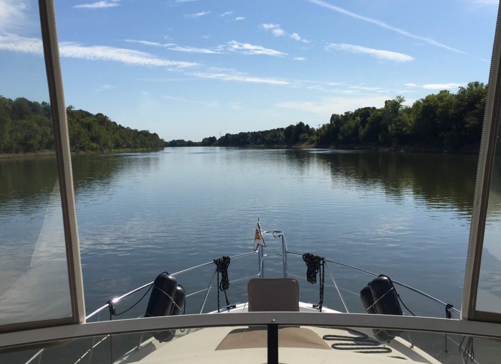
We headed down the Tennessee-Tombigbee Waterway, nicknamed the ‘Tenn-Tom’, on a cold, foggy morning. Cold, as in, below freezing, ice on the docks cold. Foggy, as in, we can’t even see the next dock foggy.
Days are shorter, so precious minutes tick away waiting for safe conditions; but there is the tyranny of miles between good stops, and quite a few locks to transit, any one of which could have delays that would set us even further back. And the first lock we had to clear was on a reduced operating schedule, only locking pleasure craft at 8, 12 and 4. Or in the dark.
There aren’t really any sights we have to see on the Tenn-Tom. Well, there are some towns that have their features attractively written up in a Chamber of Commerce brochure. But, none that compelled us to linger. Instead, it was a case of ‘let’s just get it over with’. So as soon as it began to clear, we’re off!


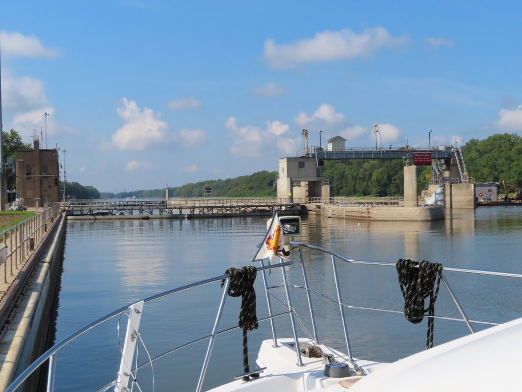
As the morning wears on, we realize that we might not make the 12:00 lockage, so we speed it up a bit and pass the boat that we had followed out of Aqua Yacht as the fog cleared. We come up to the lock where several other boats are already waiting. We hang out for a little while, but hear no radio traffic; Ben notices that the lock light is green, so he calls the lockmaster to see if he is going to call us in. ‘Nope, it’s open and ready for ya, come on in.’ Jeez, the other boats apparently didn’t have a clue; guess we will have to take matters into our own hands from here on.


We pressed on through the first three locks; the third, Rankin Lock, was our 100th lock on the Loop. No wonder we are getting so good at it!
We stop short of Fulton Lock for the day, anchoring less than a quarter mile from one side of the lock entrance. When we get up the next morning, FOG!
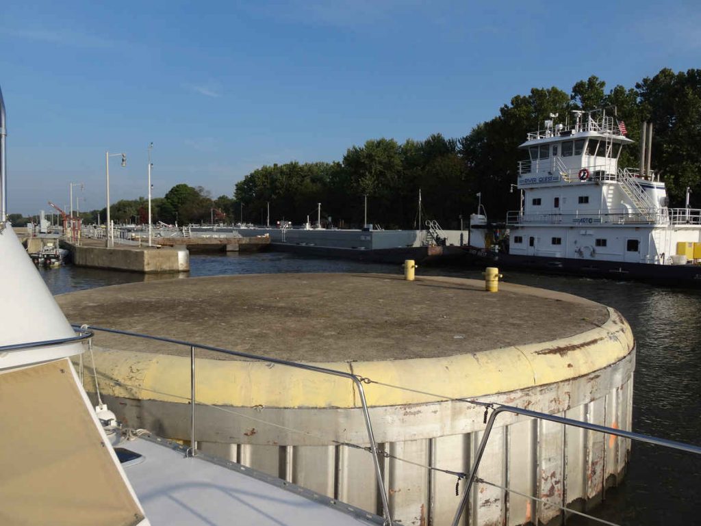
Just as things start to look clear, an upbound tow comes on the scene, and has to be locked up before we can lock down. There’s just a touch of mist remaining by the time we enter the lock at 9:30.

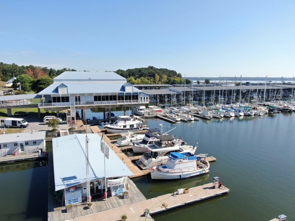
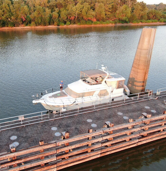
The other three locks go smoothly, and we get to Columbus Marina just before sundown, in time to get fuel and pumpout. A couple of the other boats that had gone a bit farther than Fulton Lock the previous day are already at the marina, along with some other Loopers that had been there a few days or more. We didn’t run into anyone though, as they were on other docks that were separately secured so we couldn’t go down to visit them at their boats.
Didn’t really matter, though, as we intended to leave at first light if it wasn’t foggy. When we got up, things looked good, and one other boater, in a small center-console with twin outboards (who we had met in the first three locks) was getting set to go as well. We pull out of the marina and into the lock. Then another boat calls on the radio, and says “I’m coming!” The lockmaster waits, of course, and then there are three of us.
When the lock doors open at the bottom, however, we are greeted by a thick fog-bank: uh-oh!

Nobody else is ready to arm-wrestle us to go first, so we lead the other two boats into the fog, sounding the horn every two minutes, and using our radar, AIS, and charts to pick our way carefully along the river.


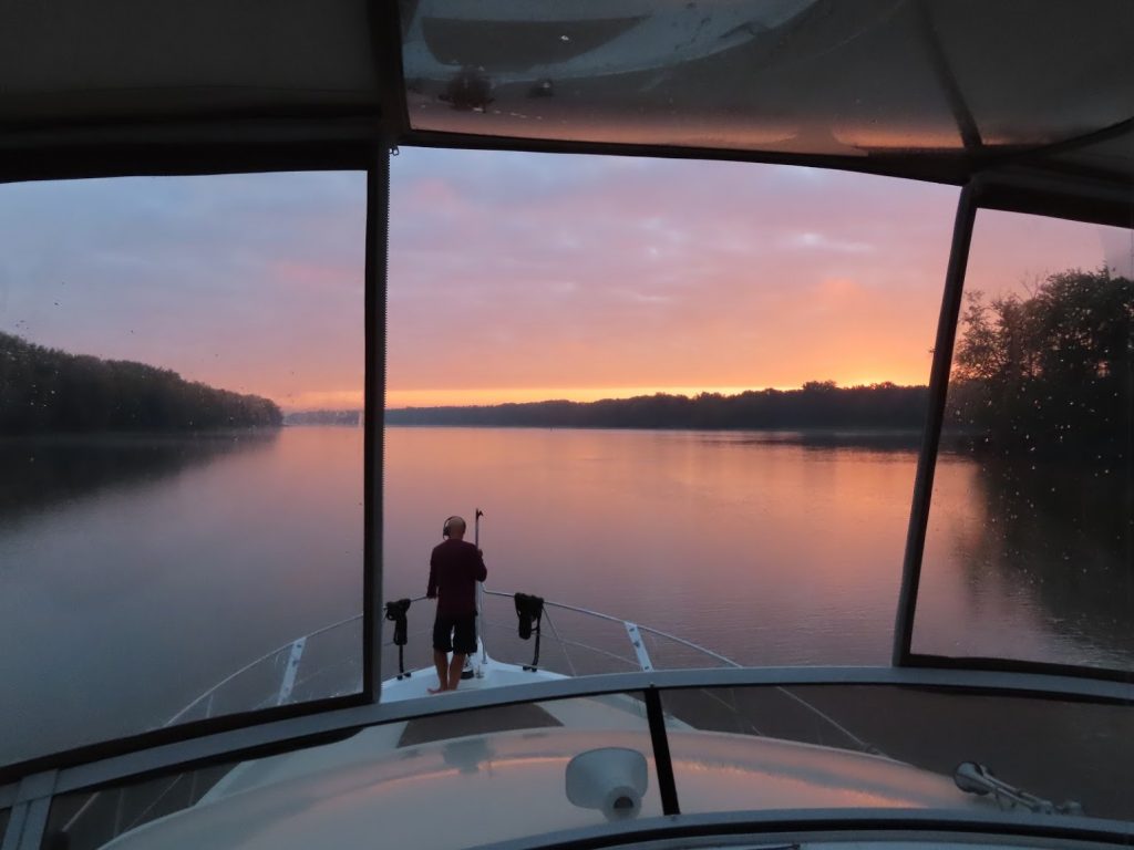
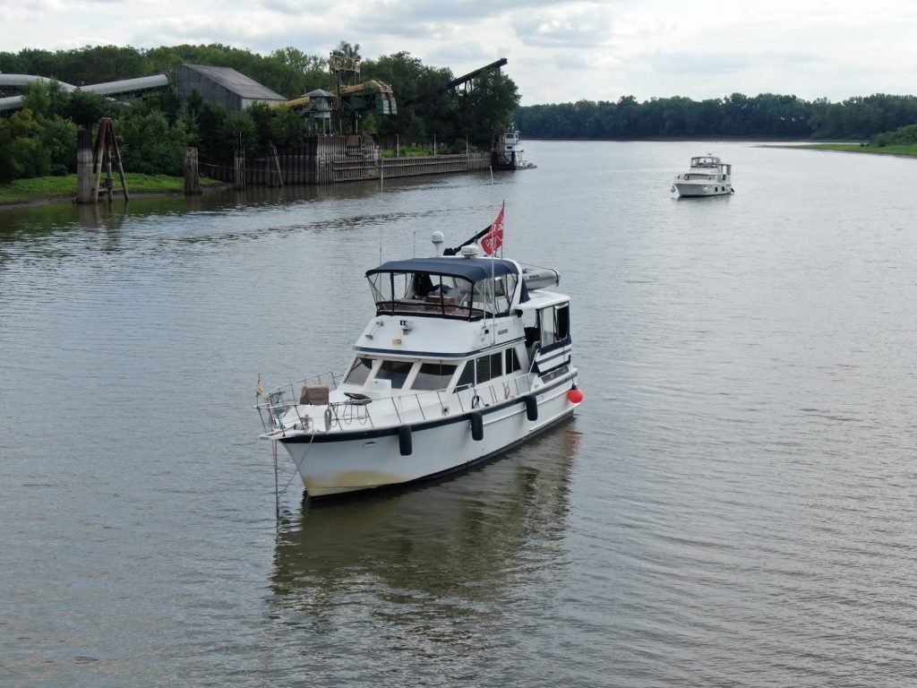
There are no marinas in this stretch, so we find an anchorage in an oxbow that cuts off from the main channel. It’s plenty deep and wide with a good current that holds us straight despite a light breeze. The next morning we awake to a gorgeous sunrise, and are underway early.

We are hailed by another boat who had spoken to the next lock by phone – if we could make it there by 7:00, we’d probably be able to lock through with some other recreational vessels. We revved it up, and managed to catch up to another group of boats as they were rounding the bend a few miles from the lock.
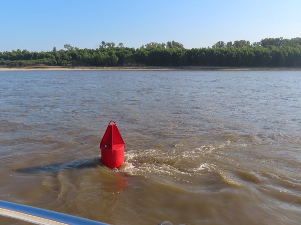
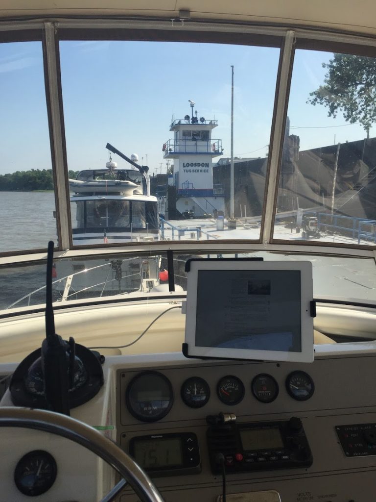
We were in and down early, and just had to avoid the ever-increasing amounts of debris in the water, and mind the missing and out of place ATONs. And tows…


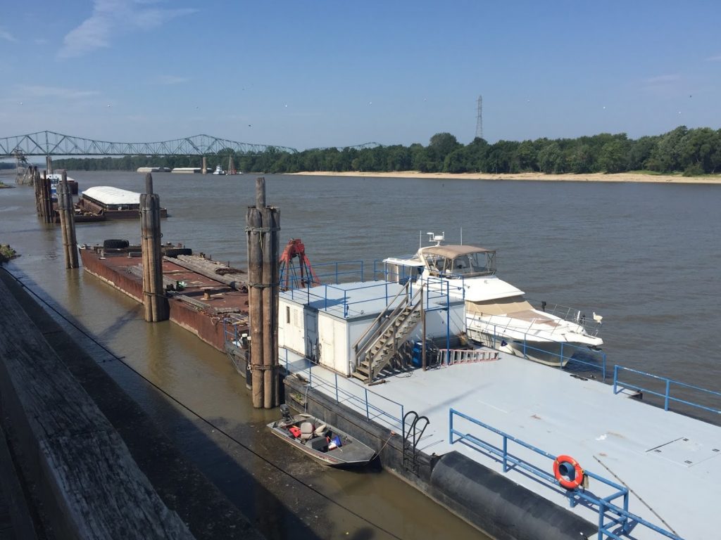
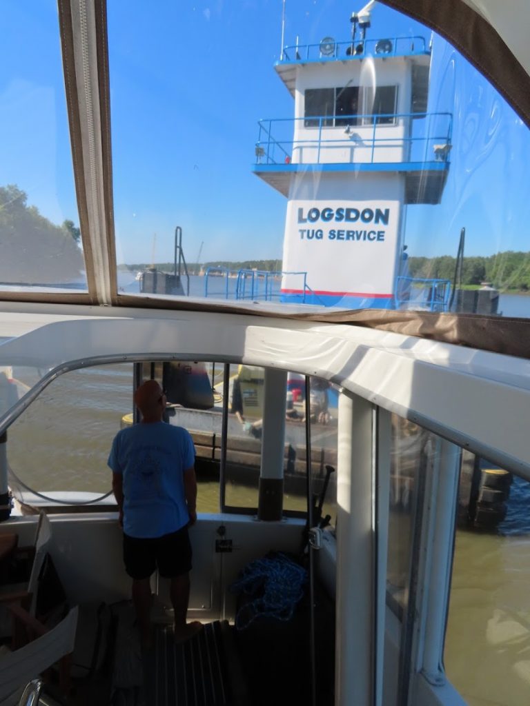
As we pulled into Demopolis Yacht Basin, we had to queue up to get to the fuel dock, which could only handle one boat at a time. In addition to having the best price on fuel, you know it’s fresh because the tows fuel there and ensure that there’s good turnover in the fuel tanks. One actually pulled up while we were there, and was probably going to take on 3500 gallons.

At Kingfisher Marina, they give a briefing daily at 5pm for boaters heading down the river, to discuss river conditions, anchorages, and coordinate the early morning departure to catch the lock right around the bend.
It is at this briefing that we find out that the next section of the river is about 30 feet above normal.
30 feet?!?
In fact, the section we just finished was more than 15 feet above normal – that would explain some of the debris, washed into the river by high rains.
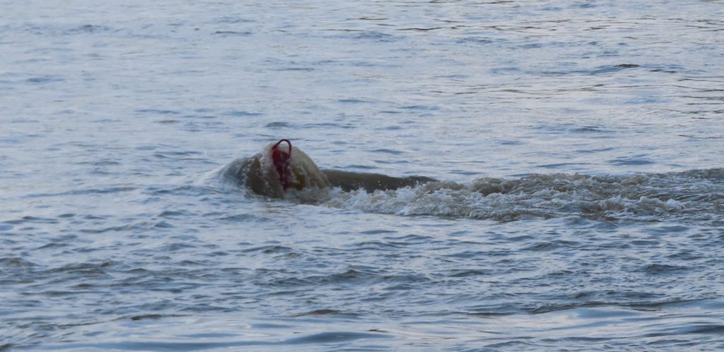
The current is running fast, many of the channel markers are out of place or are missing (or might be submerged), there is a lot of debris. And many of the anchorages are unusable due to the aforementioned factors, or due to shoaling caused by the flooding.
Great. So, who wants to go tomorrow? Ten hands shoot up, ours included. It’ll be a long day, 95 miles, plus getting through the lock first thing in the morning if there are no tows. Or fog.

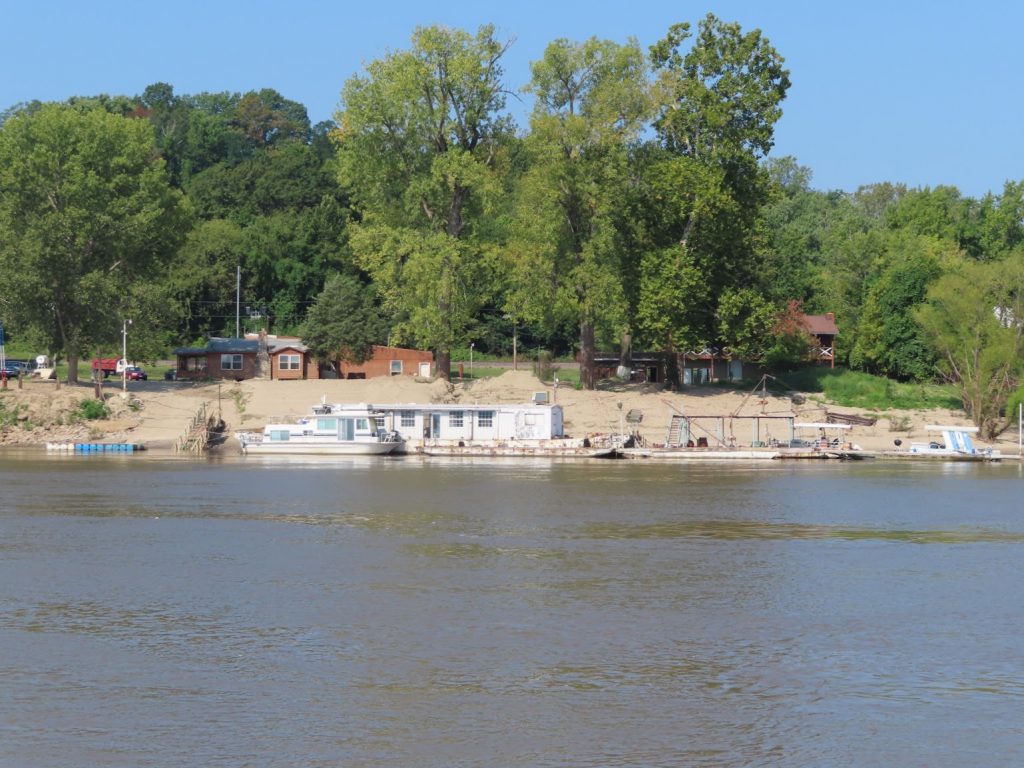
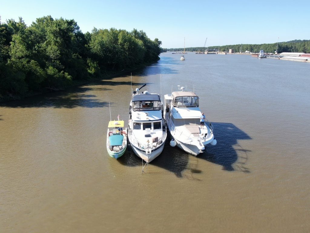
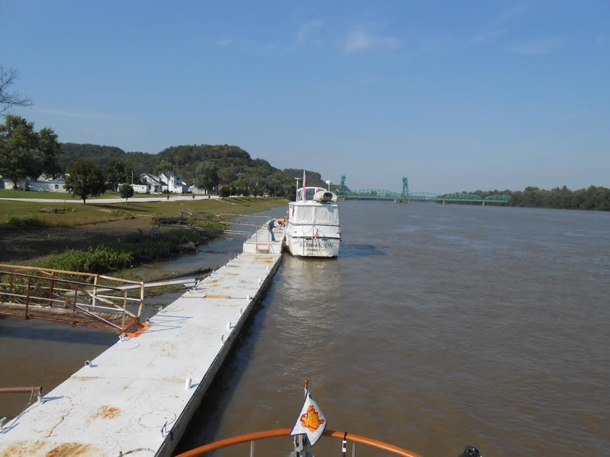
A few boats head on at greater speed, and a few lag behind. In the end, six boats wind up docking at Bobby’s Fish Camp, a rustic place with a dock, some cabins and RV parking spots, and a restaurant. It’s a fixture on the river, and a critical fuel stop for those who can’t make it the 230 miles from Demopolis to Mobile. The dock is only long enough for three or four boats, so we have to raft off of each other, faced up into the current so debris doesn’t entangle in our props and rudders.

The restaurant is normally not open on Tuesdays, but they call in the cook and a waitress, and open it just for us. Fried catfish is their specialty, and it’s pretty darn good.
The next day, we coordinate with the lock before shoving off, and a tow that’s staged to go through is kind enough to let us go first (probably so we are out of his way and he doesn’t have to deal with us passing him in the twisty river ahead). Coffeeville Lock is the final lock on the waterway, and once we are through this lock, the river becomes tidal, and increasingly brackish as we make our way to Mobile. This lock normally drops boats about 34 feet; today, it dropped us about 6 feet, when the doors opened we were let out into a river fully in flood stage, but it had crested and would be going down as we made our way toward Mobile Bay.

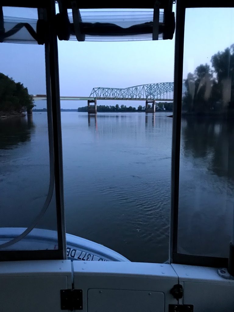
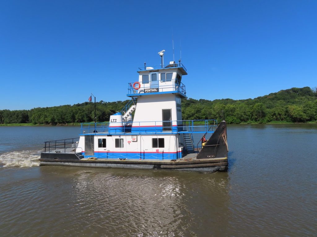
This travel day will be even longer, 106 miles, to another anchorage, and the river is incredibly contorted, going from east to south to west to north back to west and back to south. Patriot is eventually five miles ahead of me, but sometimes only a half mile away, because of the course of the river. There are a lot of tows, and its much more complex to work out a passing or meeting engagement when there are such tight curves and narrow stretches, not to mention bridges. We had to hold up at one point about 20 minutes to let a tow negotiate a bridge that was right at a 90 degree bend. He had to slow to less than 1 mile per hour, and churn his props furiously to make the load swivel around the corner, after which I could finally pass.

It’s a long day of dodging logs, and minding the ATONs that are missing or out of place. Lots of large debris has an ‘auxilliary marker’; they aren’t totally reliable, but we can see them from quite a ways off. We are still carrying a couple knots of extra speed, due to the current, and we start seeing that the banks look a bit more normal, and not as swollen.


We make it to our anchorage by just after 3:00, and drop the hook ahead of Patriot; Outta the Loop comes in later, and anchors behind them. With a name like Big Bayou Canot, it seems like we should have seen alligators basking on the shore, but we didn’t see any wildlife at all. We did hear what we thought were owls, later, though. A quiet night, and no fog when we awoke. We were all headed down to Dog River Marina, and all to take on fuel, so At Ease went ahead and jumped off first, right at sunrise, so the other boats could leave on staggered schedules and the fuel dock would be free by the time they got there.

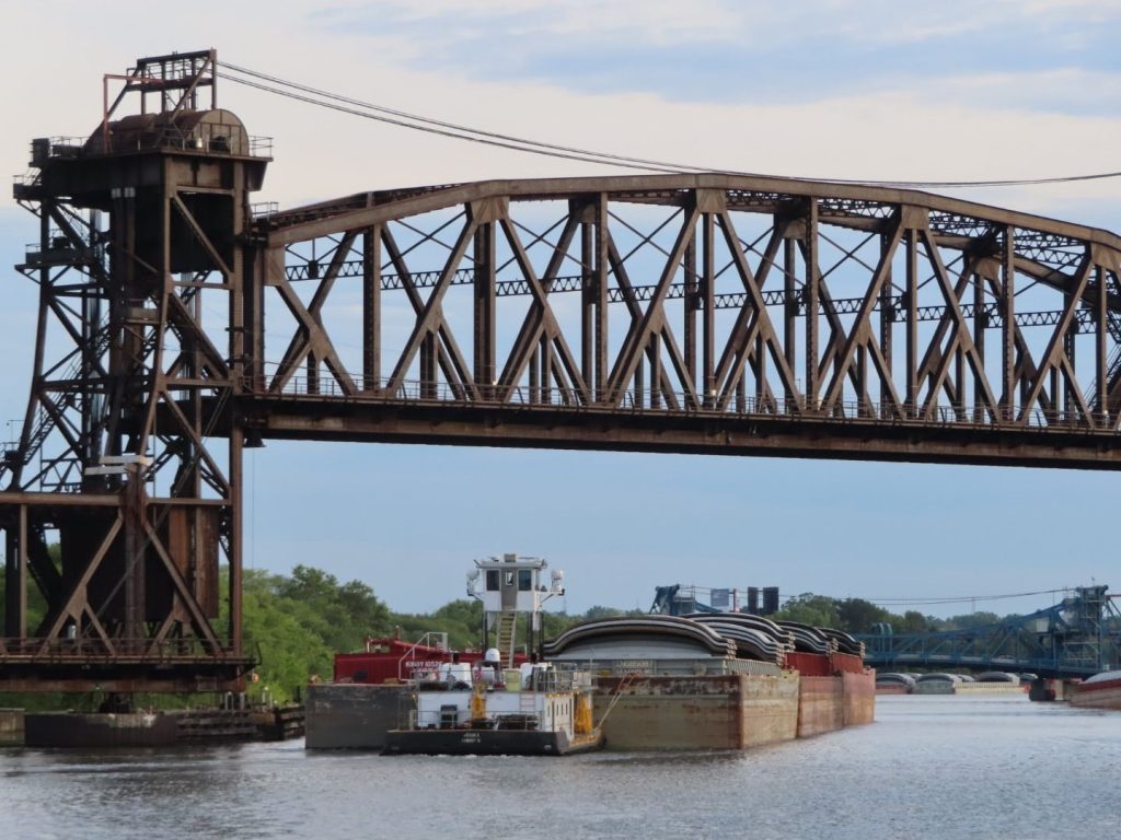
Within a few miles, we round a bend to see a RR bridge in the down position; I hail the bridge tender, who tells me he’s waiting for someone to cross. So we wait. And wait. Finally, I hear something coming. And it’s not a train – first time I have ever been held up like this for a dump truck!

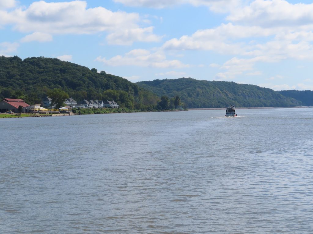
The river banks started to look a lot different now, with plentiful cypress and palmettos. We spotted many of the channel markers on the banks, washed loose from their proper spots up the river.


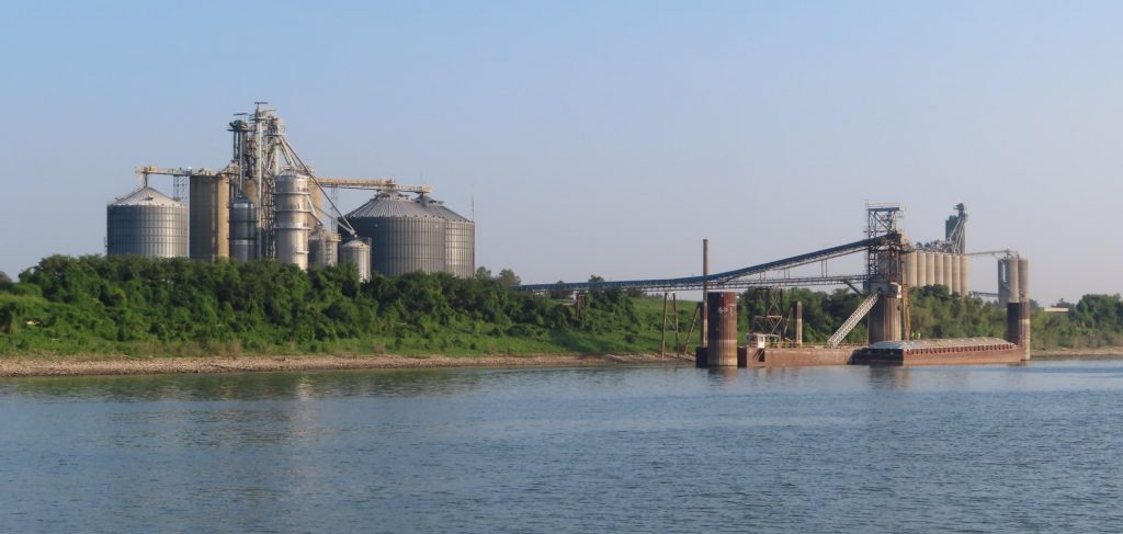
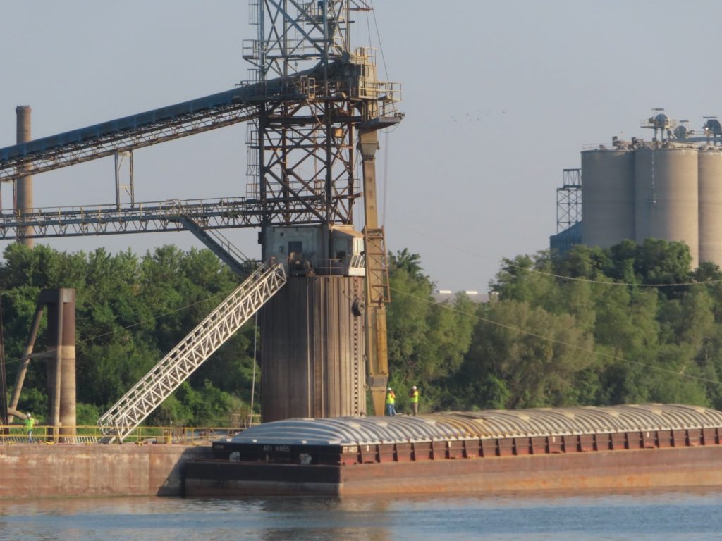
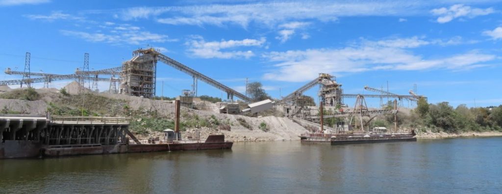
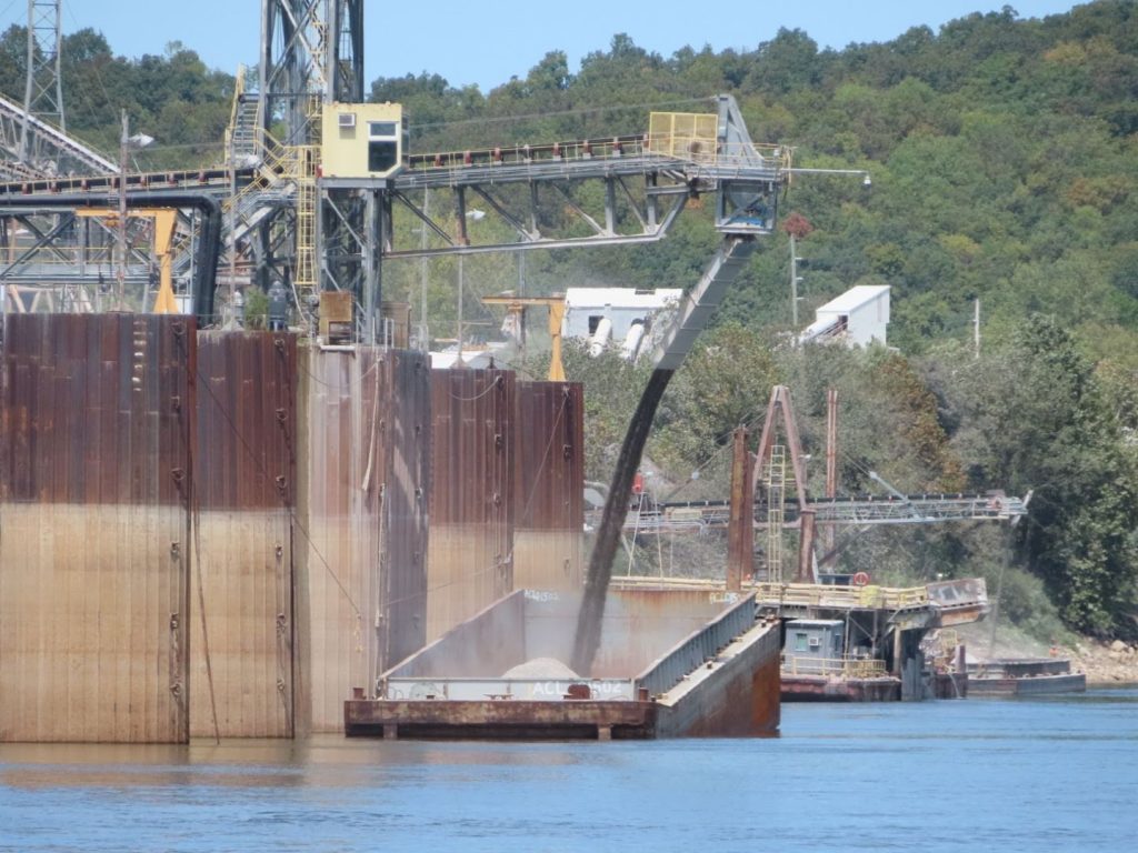
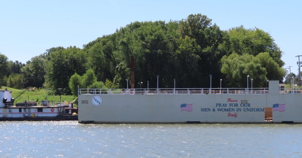
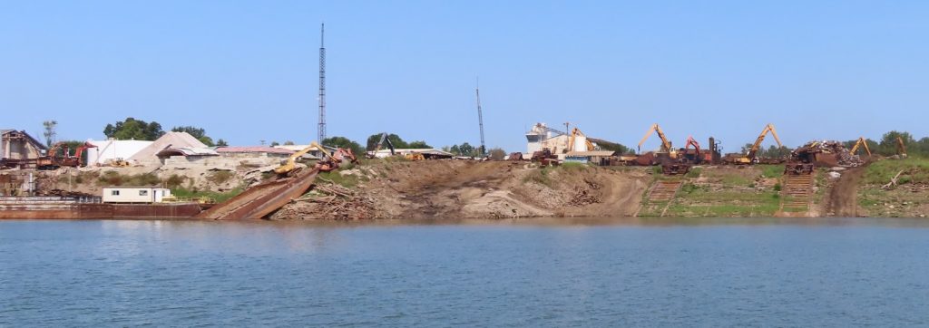
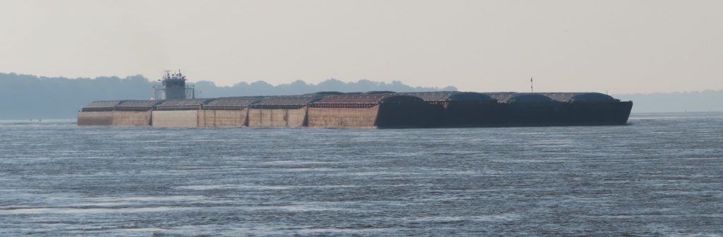
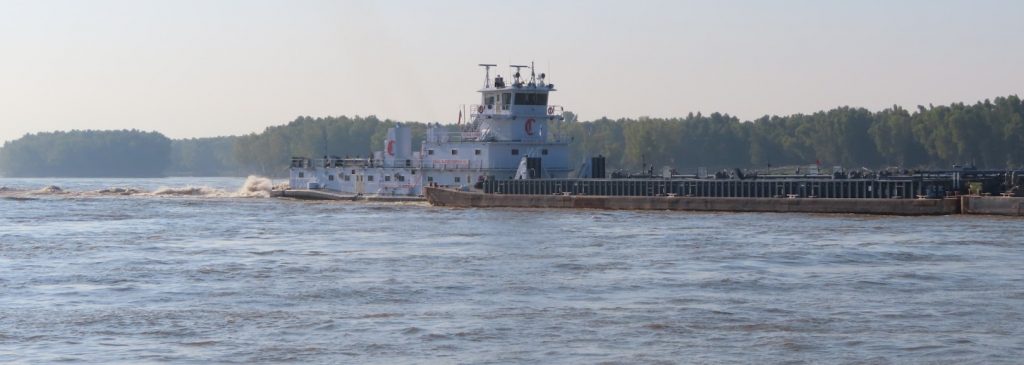
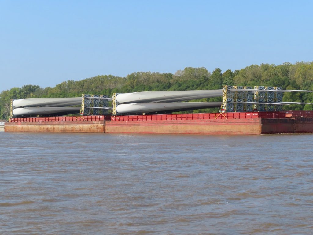
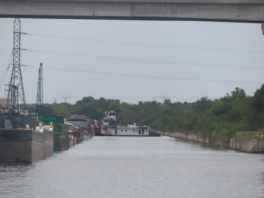
There are large barge loading/staging areas, and lots of tows working, and even more parked by the side of the river.
We can see them all on our AIS, and did a double take when we spotted one with our son’s name…


As we get into the port, we see a couple of stealthy-looking Navy ships, and a cruise ship with its lifeboats deploying. We slow down for that, since a police patrol boat was out, and get some good pictures of the Littoral Combat Ship, and the Fast Expeditionary Transport.


We soon left the busy port behind us, in a drizzle, and continued down Mobile Bay towards the channel that turns up Dog River to our marina. Lots of watermen out dragging nets; they seemed to be cleaning their catch on this boat, while underway, and the seabirds were hanging around to take care of the scraps.

Later that afternoon, we gathered together to celebrate our safe transit down the rivers, and into salt water, with the crews of Patriot, Outta the Loop, and Carousel.

Now, onward for the next part of our journey, down the panhandle and across the Gulf.