May 3, 2020 – When the book says “Just south of Fernandina is one of the most notorious stretches of the ICW”, you sort of sit up and take notice.
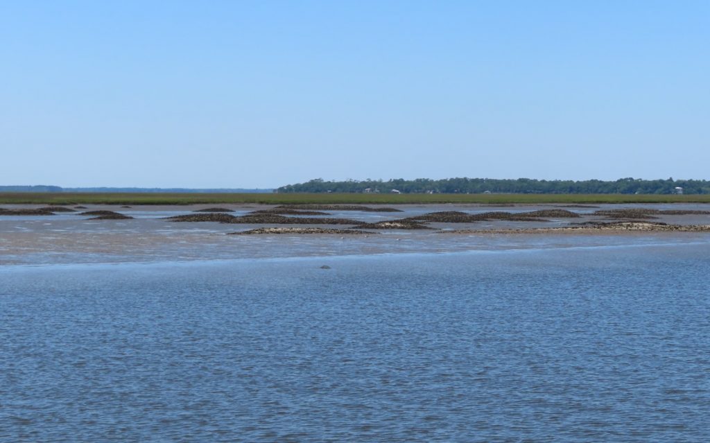
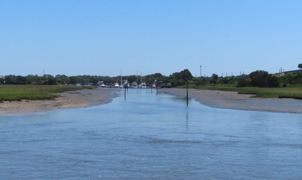
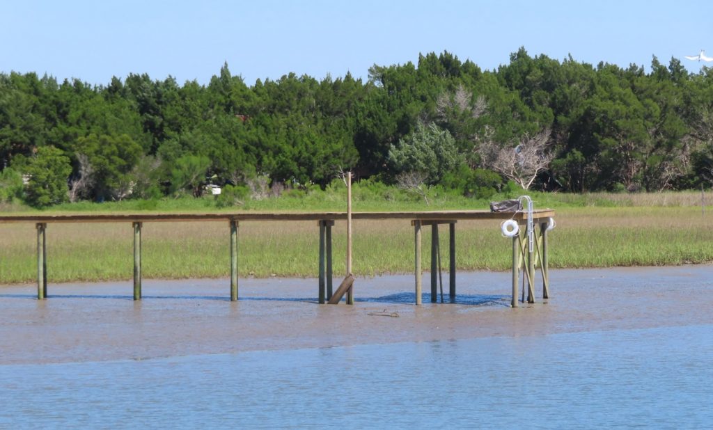
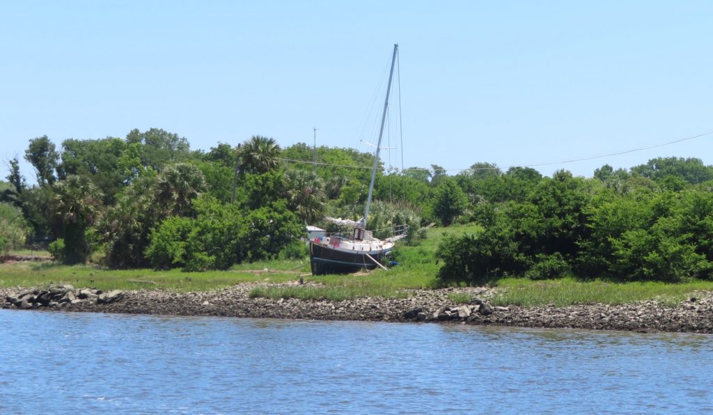
That’s where we were headed today, on just a short 22-mile jaunt. The banks began to reveal what it looks like when the water level goes up and down 6 feet twice a day.
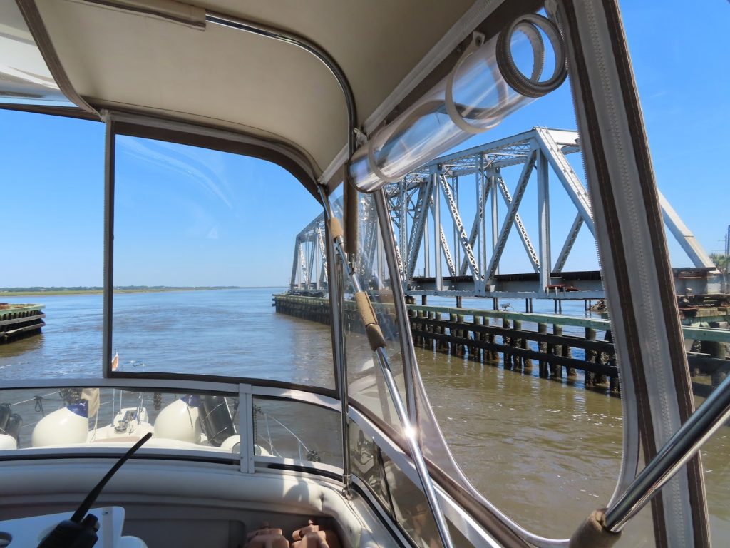
Marsh, flats, and spoils visible at low tideAt high tide these big boats could probably get in this channel; now…probably notDon’t leave your boat tied up hereProbably a derelict from a hurricane Railroad swing bridge
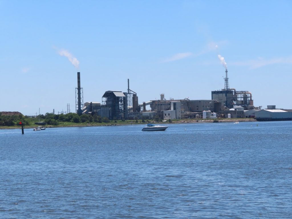
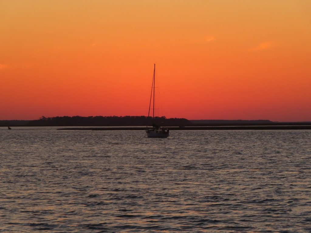
We made it through all the tricky spots, and anchored across from the Fernandina marina. After lunch, we dropped the dinghy, and went over to check out the town. Very cute, and quite a few people walking around. Most of the shops were closed, but several ice cream places were open, for ‘carryout’ of course, so we each got a cup. Ahh, feels like normal life!
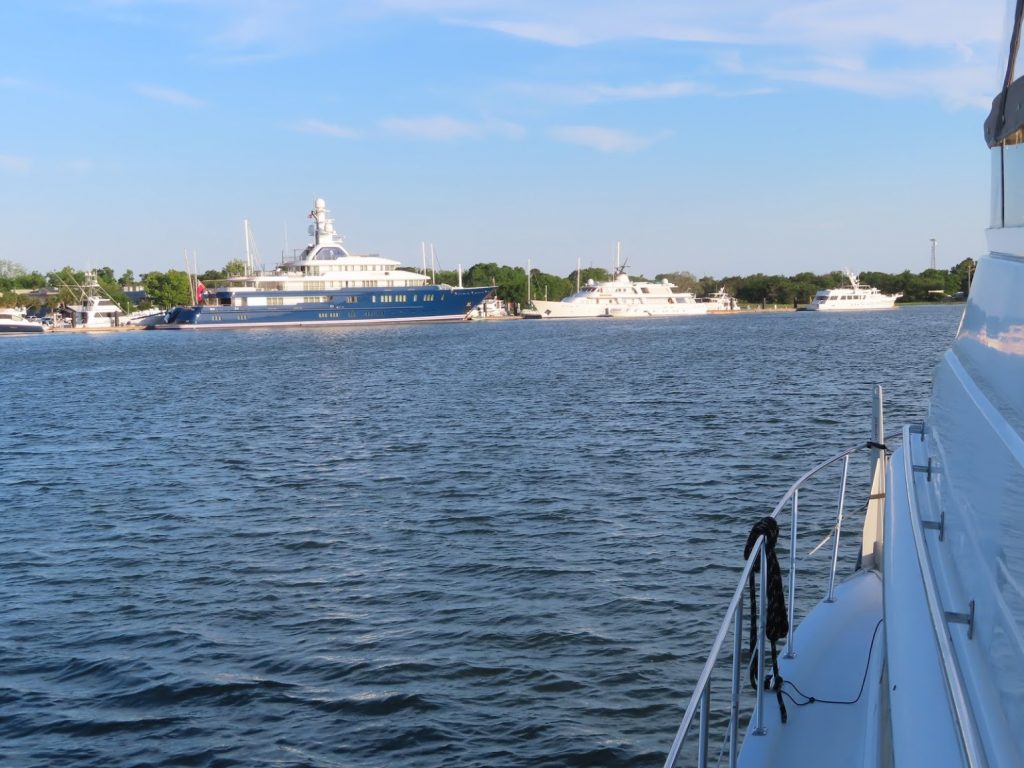
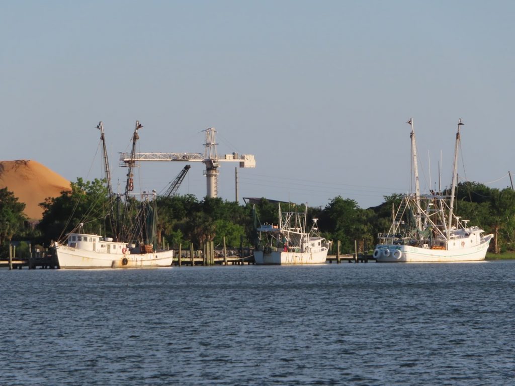
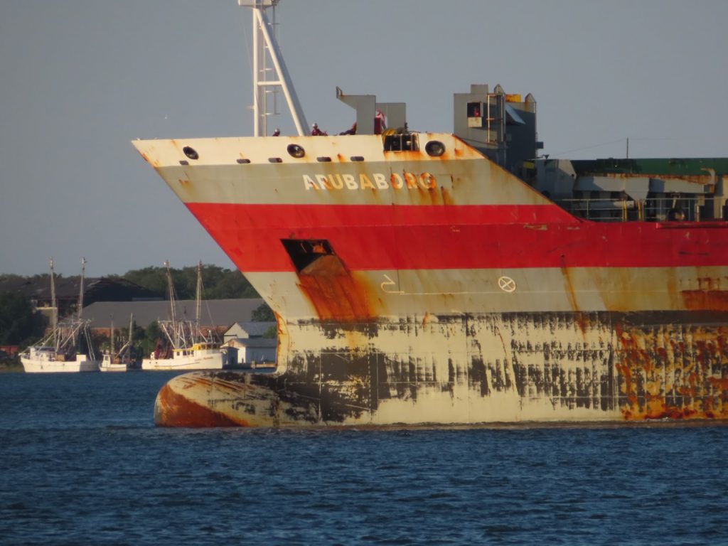
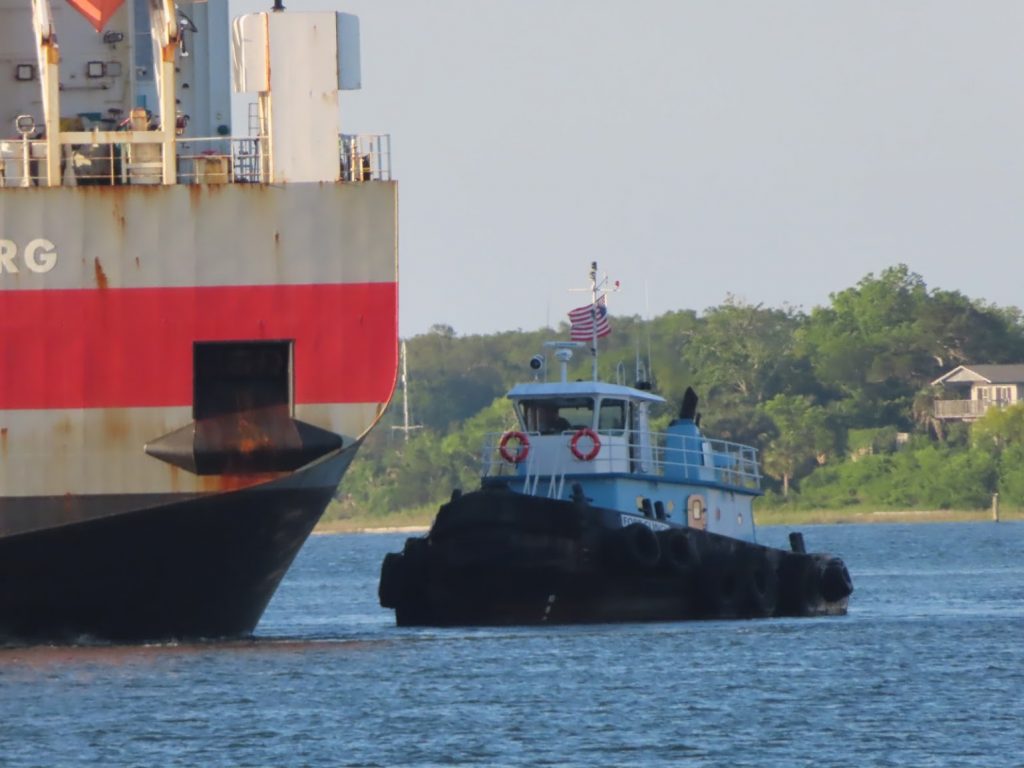
The view of Fernandina Harbor on one side of the boat…and the view from the other sideWe stopped at a seafood store while ashore, and got some fresh shrimp…maybe caught from one of these trawlersWithin view of our anchorage, this big container ship turned around to head out the inlet to the Atlantic; he’s almost empty and floating high. When loaded, the waterline would be at the top of the black markand this little guy was helping him get off the pierThis turns out to be Ray and Susan, friends of friends of ours; we were on a Zoom happy hour with them, and when we each said we were anchored here, we went above and were able to wave IRL (in real life)