May 5, 2020 – Finally, an almost normal day, enjoying some local sights, restaurants, and stores. A nice long bike ride, a walk on the beach.
We had decided on a two-night stop here, for Chantale’s birthday, and it turned out to be a really great day. Sunny and breezy, we took advantage of the many bike trails to ride up to Driftwood Beach, and the historical area where the rich and famous once summered.
Nice bike trailsLots of Spanish mossBeautiful trees along our rideWide beaches, tide comes in and covers hundreds of feetThe restaurant was open, for outdoor seating!Birthday girl is happyOutgoing tide reveals new stretches of beachAnother perspective of how wide the beach isOne section of beach had fascinating ripple patternsMillions of holes where ghost shrimp live. And they shove their waste up the hole, apparentlyFor size perspectiveDriftwood Beach – incredibleA cottageVilla OspoExample of one of the signboards explaining which rich titan built these summer placesThe small dormer had a unique adornment with the year it was builtWith sea shellsNo, really, its a cottage, not a mansionSee, the sign says it’s a cottage
May 4, 2020 – Today we crossed the Florida line into Georgia. Looking back, we’ve been in Florida since we arrived at Pensacola on November 12, almost 6 months ago! From there it was 889 miles down to Boca Chica, our southernmost stop, and 581 miles back up the Eastern side. More than a quarter of all the miles we have traveled on the Loop so far – Florida is a big state!
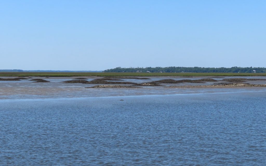
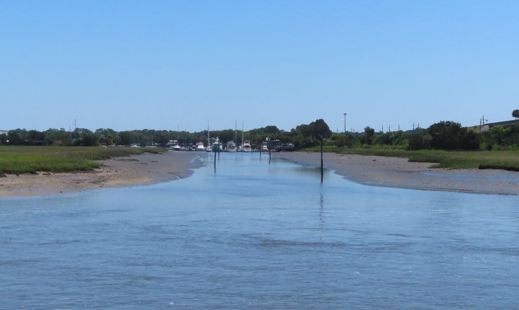
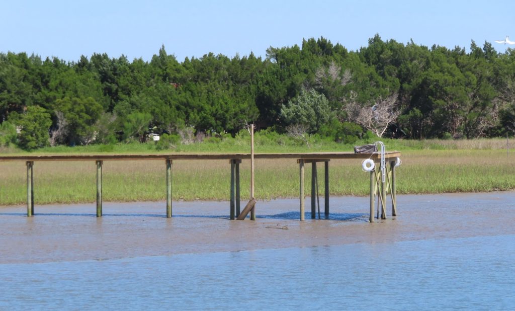
As we have gotten into northern Florida, we have gone from heavily developed urban and suburban waterways, relatively straight and defined, to a much more natural, rural and meandering scene. Whereas in some parts of Florida the tides are a foot or less, the water raises twice a day here eight feet or more! We tend to focus on what that means for navigating, but there are fascinating natural aspects of this that we will have a chance to observe.
Hard to imagine how you boat here when the water goes up and down 8 feet every 12 hours. Pay attention to your watch, and the tide tables!
As briefly described in a very nice article, linked here, “Georgia salt marshes are flat, extensive coastal “prairies” dominated by a tall, marine-adapted grass, smooth cordgrass”
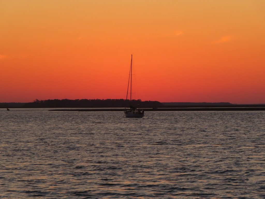
We are following this sailboat, zigging and zagging through the channels
Another article, from the National Park Service, points out that there are actually two major zones in the marsh – the high and the low marsh. These two areas are delineated by the vegetation type, which is an indication of the daily water coverage.
The high marsh is covered with water only at the highest tides, which occur when the moon is new or full and during stormy weather. It has sandy soil and a high diversity of plants. These include sea oxeye, glasswort or sea pickle, needle rush and saltwort.
The low marsh is flooded with salt water for 6-8 hours per day. There is only one kind of plant that has adapted to survive this – Spartina alternaflora (smooth cordgrass), making it a true, natural monoculture.
First we pass to the left of the green, then we come back to the right of the red, avoiding the shoal
Just over the Georgia line, we passed Naval Submarine Base Kings Bay naval, home to many of the Navy’s Ohio-class nuclear powered ballistic missile submarines (so-called ‘boomers’), as well as guided missile submarines.
We were able to see some of the facilities as we cruised by, but fortunately there were no subs transiting in or out, as their accompanying security zones (as we found out when departing Norfolk almost a year ago) can dictate the pace of passing by the area, and the tide was running pretty hard here. Our speed was way down, because of that, and it would have been especially troublesome to also contend with a nuclear sub in the channel!
Unfortunately, green-head flies are also one of the natural phenomena; one minute we are cruising along happily, and the next, we are swatting away, and rigging some makeshift screens on the sides of the flybridge. We put some new batteries in the electric zapper, kept fly swatters at the ready, and broke out the bug jackets, just in case.
We end the day after a short cruise by docking at the Jekyll Harbor Marina, on Jekyll Island, for a two night stay.
May 3, 2020 – When the book says “Just south of Fernandina is one of the most notorious stretches of the ICW”, you sort of sit up and take notice.
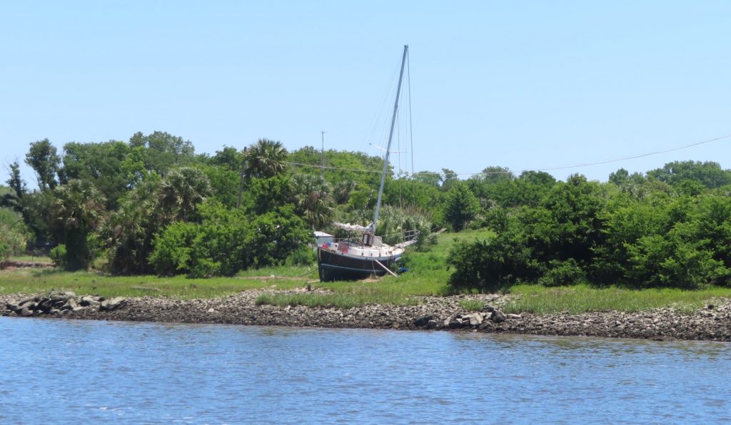
That’s where we were headed today, on just a short 22-mile jaunt. The banks began to reveal what it looks like when the water level goes up and down 6 feet twice a day.
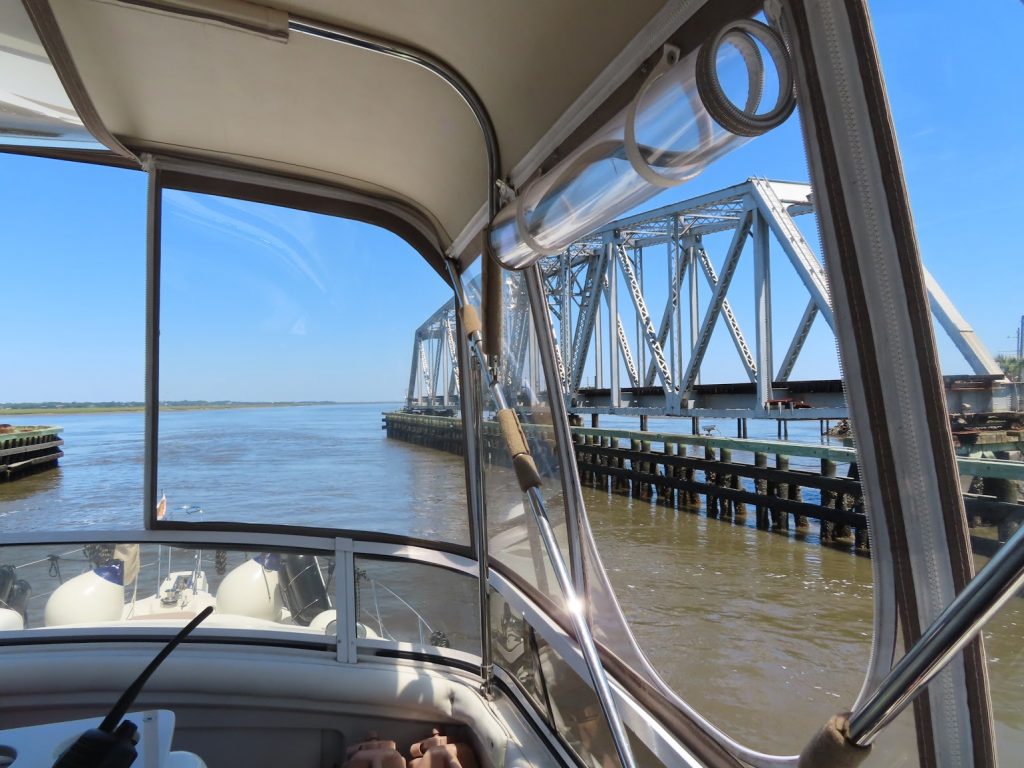
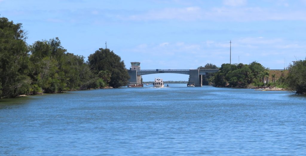
Marsh, flats, and spoils visible at low tideAt high tide these big boats could probably get in this channel; now…probably notDon’t leave your boat tied up hereProbably a derelict from a hurricane Railroad swing bridge
We made it through all the tricky spots, and anchored across from the Fernandina marina. After lunch, we dropped the dinghy, and went over to check out the town. Very cute, and quite a few people walking around. Most of the shops were closed, but several ice cream places were open, for ‘carryout’ of course, so we each got a cup. Ahh, feels like normal life!
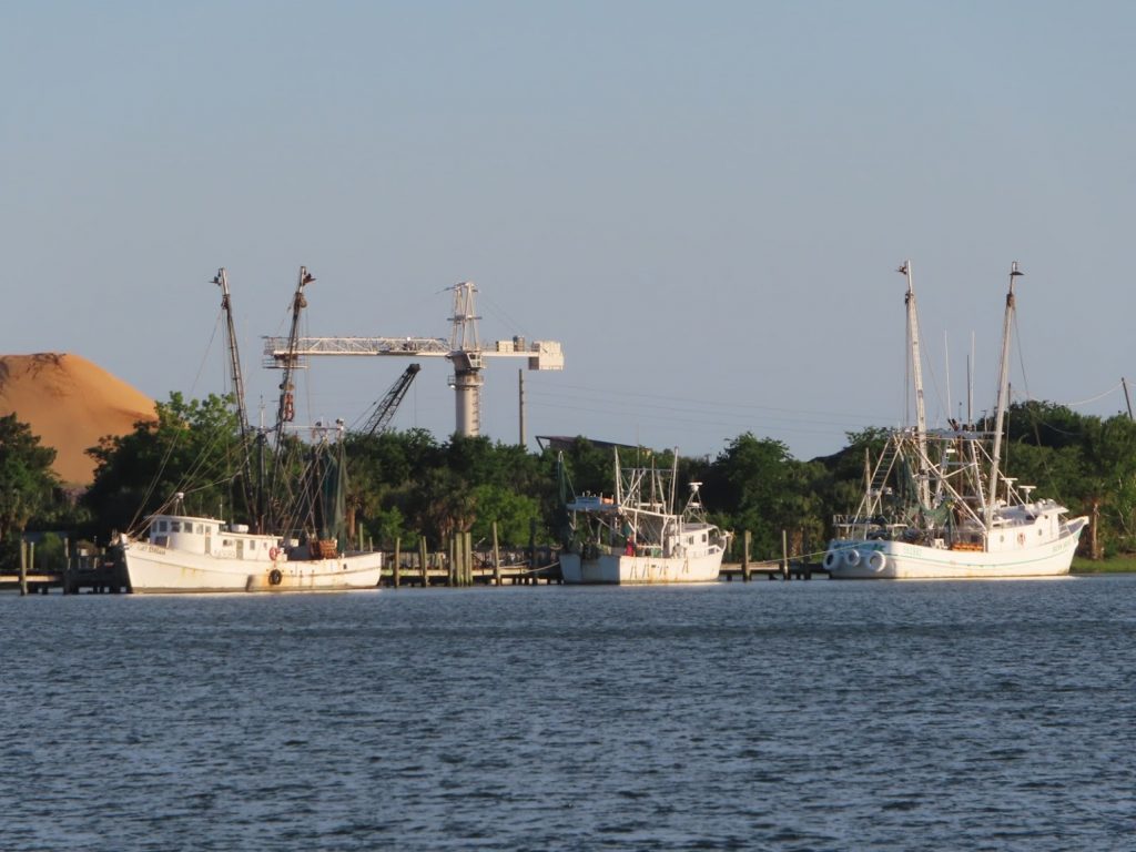
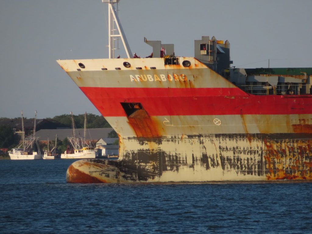
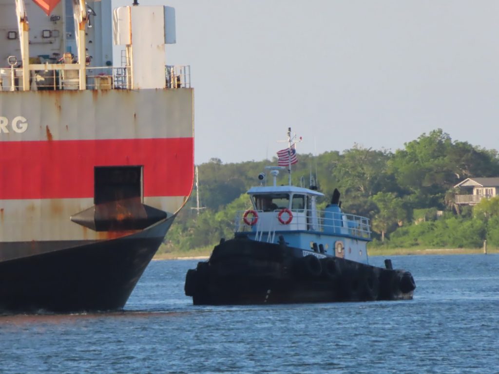
The view of Fernandina Harbor on one side of the boat…and the view from the other sideWe stopped at a seafood store while ashore, and got some fresh shrimp…maybe caught from one of these trawlersWithin view of our anchorage, this big container ship turned around to head out the inlet to the Atlantic; he’s almost empty and floating high. When loaded, the waterline would be at the top of the black markand this little guy was helping him get off the pierThis turns out to be Ray and Susan, friends of friends of ours; we were on a Zoom happy hour with them, and when we each said we were anchored here, we went above and were able to wave IRL (in real life)
May 2, 2020 – It was a beautiful still morning so Ben took the opportunity to fly the drone for some aerial shots of the boat and surrounding scenery before we headed onward; the AICW stretches of the northern Florida coast up toward Georgia and the Carolinas feature a lot of winding rivers, creeks, and sounds with tricky shoals, and the tides become a major factor in timing our cruising day. It is far favorable to travel on a rising tide, so in case you should run aground, the rising water would help float you off. The inverse would mean that if you encounter shallow water, it would just get shallower and shallower as the tide falls -and the tidal swing ahead of us gets to as much as 8 feet !
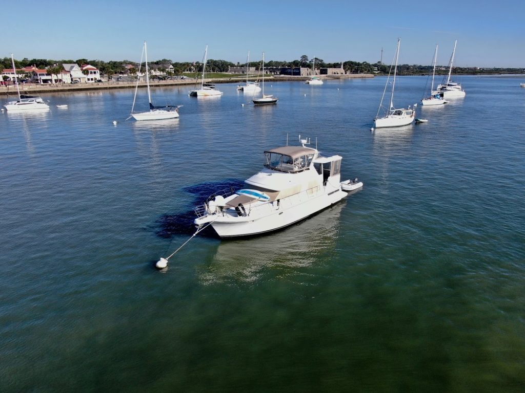
On mooring ball #6, in the north St Augustine mooring field
Starting with the Bridge of Lions, a 360 degree panorama of the old part of the city
From the minute we left our mooring ball, the waterway felt different.
Busy. Really busy. Normal.
It was a Saturday, and people were out doing what they normally do on a Saturday.
Tidal sandbars – here now, underwater in 4 hours
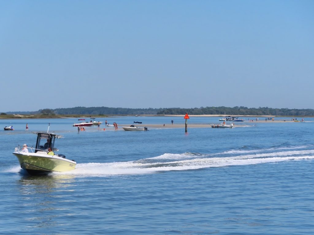
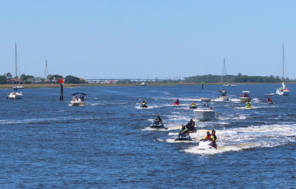
Tubing, fishing, just going somewhere. Boats buzzing past us each way. Kayaks and paddleboarders. Jetskis. Lots of jetskis.
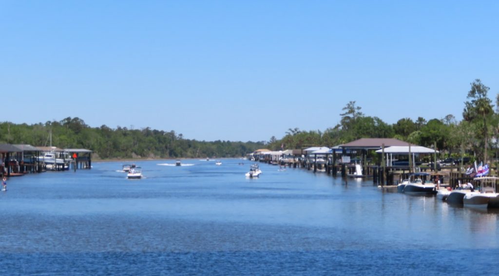
Part of a six-mile stretch lined by homes with docks on both sides, with all manner of motorized and non motorized watercraftA big group of folks on what looked like a club expedition
When we passed the St John’s River, we could have taken a left and headed down to Jacksonville. Instead, we crossed the river and headed up the AICW another half mile, and stopped at a very nice free dock near a park.
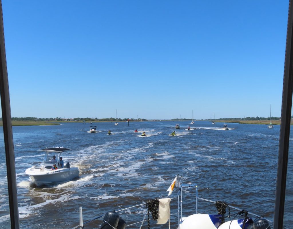
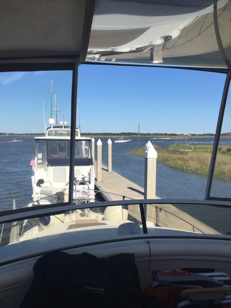
View of the ‘boat parade’ going up and down the creek past the Jacksonville free dock
A couple on a Carver, from Chesapeake City, Maryland, caught our lines and helped in docking in a pretty good current. Turns out they are hopeful to do the Loop in a year or two, and we all got out our chairs and sat on the dock to socialize (at an appropriate distance, of course).
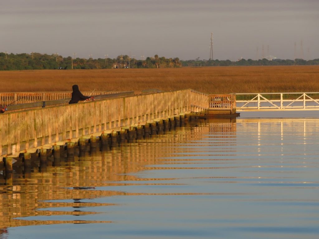
It was bonkers, watching the parade of boats going up and down the river, seeing the pier crowded with fishemen (and women), and hearing the squeals of kids playing at the park.
The fishing dock with grassy marsh beyond
Eventually, it all quieted down, and we enjoyed a peaceful night.
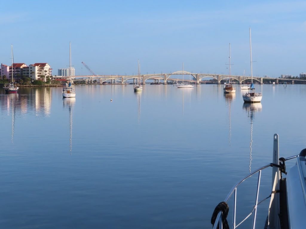
April 29, 2020 – We awoke to a placid morning in Daytona Beach, unlike every other morning since leaving Marathon, and were looking forward to staying still for a few days. We have been running for nine days straight since we left Marathon, over 440 miles, as we headed up to St Augustine, and were ready for a pause.
What’s this shiny stuff? We’d been in pretty windy conditions for over a week, so an unexpected surprise to see the morning water so flat
We knew that our friends Allan and Lavonne from Vinyasa, our dock neighbors at Herrington Harbour are here. After having sailed to Jamaica, only to be turned around due to the coronavirus lockdown in Panama ( their next planned stop) they had to sail around Cuba (with an emergency pit stop) to get back to the US. It will be great to get caught up, and see what respective adventures lie ahead for each of us.
The day’s travel was non-eventful, but the increasing wind and tidal current came together shortly after we secured our mooring to make a real ‘washing machine’ at the fuel dock.
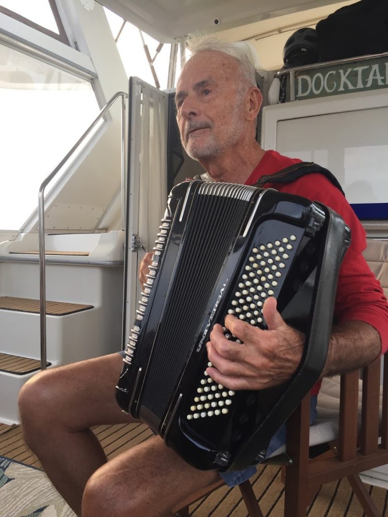
Jerry providing some entertainment on the back deck one afternoon in Marathon
Looper friends Jerry and Deana, onboard Mahi Mahi, who we met in Marathon, were pulling into their slip right as we came over to the marina basin to get checked in. Pretty sporty conditions! They’d come up from Key Largo this week, and we only noticed them behind us as we left Daytona Beach.
We were also surprised to see other Loopers on the mooring ball right in front of us – sailboat Significant Otter, that we met initially up in Michigan, and then in Kentucky at Green Turtle Bay. This couple and their young daughter have been here a month, waiting out the lockdown, and wondering whether they will be able to make it all the way back to Michigan or not, with the projected delay to the opening of the NYS canals.
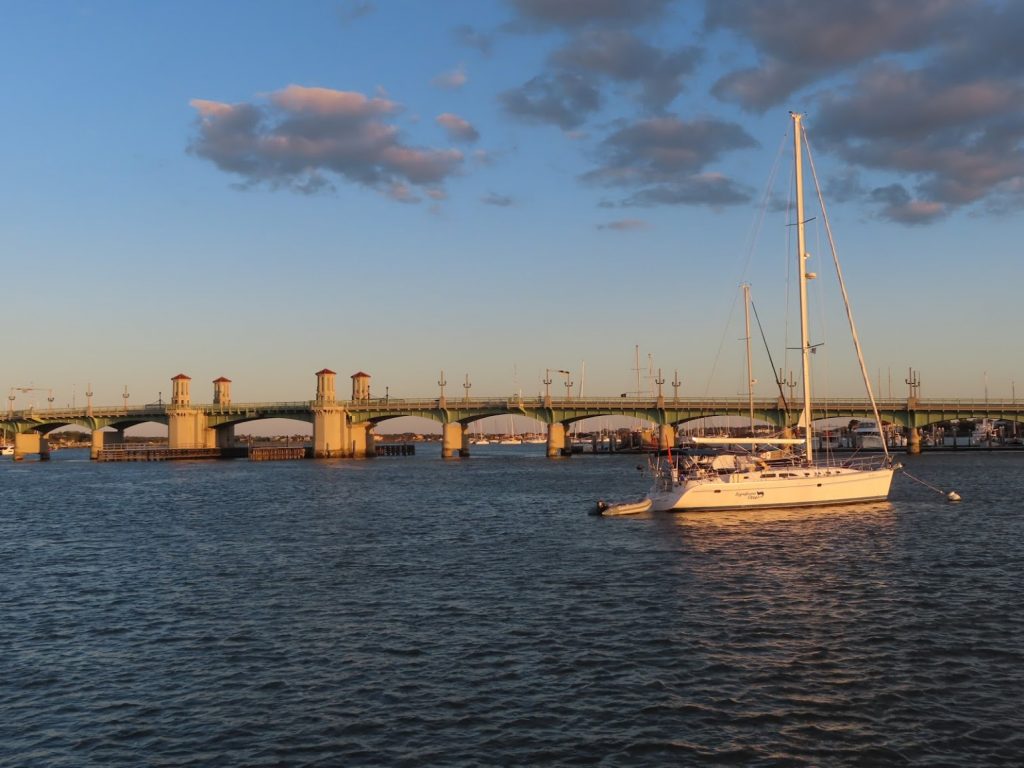
Significant Otter in front of the Bridge of Lions
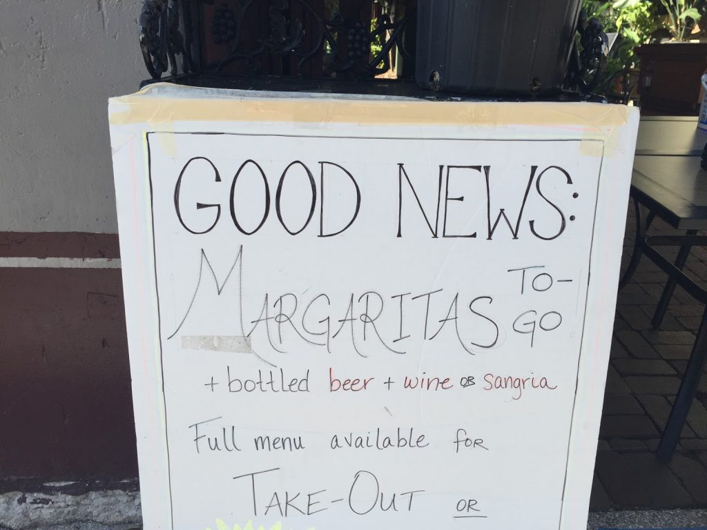
After doing business with the marina office, we went for a short walk, to scope out whether there were any nearby restaurants open for carryout. Well, it just so happened that we found one!
How could we pass this up?
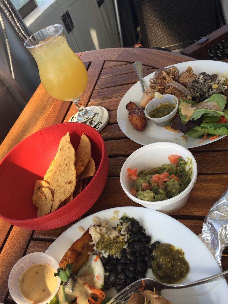
After a short wait, we carried the food (and margarita !) back to the dinghy, and were soon enjoying a great meal on the sundeck.
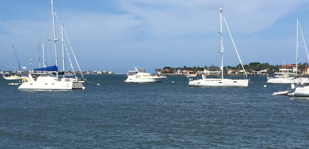
Secure on its mooring, a solitary motor yacht among mostly sailboats
April 28, 2020 – Some unplanned activity interrupted our routine this morning, when the generator cooling water intake became blocked with weeds. Ben noticed a change in the sound of the exhaust (which is usually muffled by the discharge of cooling water as it runs.) He quickly shut it down before it had a chance to overheat, and the diagnostics began.
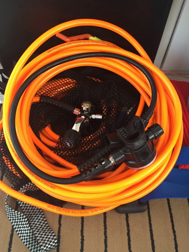
Some engine room activities ensued, followed by a short dive under the boat using our ‘diving hookah’ setup we bought in Marathon. It’s basically a SCUBA rig, except the hose from the first stage regulator at tank to the second stage breathing regulator is 50 feet long, so the tank can stay on the boat (or in the dinghy, or in a small floating tank raft, for excursions).
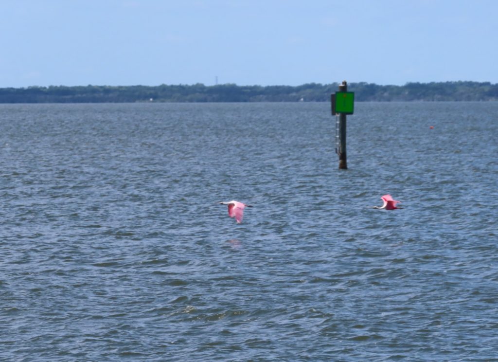
We finally got underway at about 11, for the run up to Daytona Beach. This was actually an interesting stretch, as we transited a short canal, saw some rugged native waterfront up close, and began to encounter some wide tidal flats and sandbars that required attention to avoid shoaling near the inlets. And we got to see some more roseate spoonbills (not flamingoes after all- sharp eyed birder friend corrected us- thanks Jennifer), and were able to get the camera out fast enough this time to get a photo. Doesn’t that pink jump out at you?
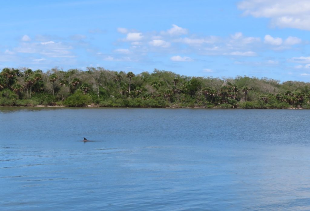
A solitary dolphin surfacing along the Indian River canal to Mosquito LagoonWe followed this powercat all the way to New Smyrna Beach. Notice all the small fishing boars clogging both sides of the passage under the bridge.
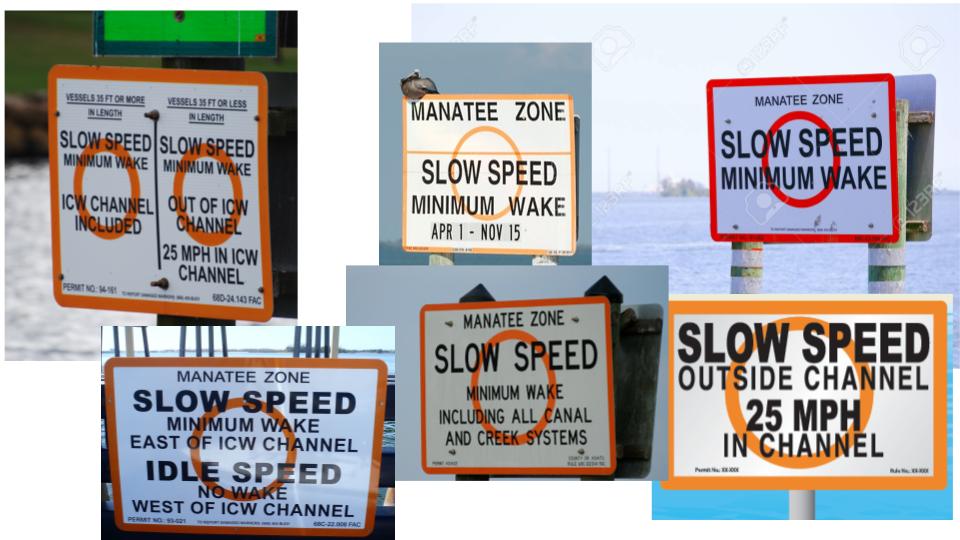
A lot of this stretch was at “Slow Speed – Minimum Wake”, both due to manatee protection zones, and a long stretch of fishing camps and private docks past Oak Hill and Edgewater on the way to New Smyrna Beach.
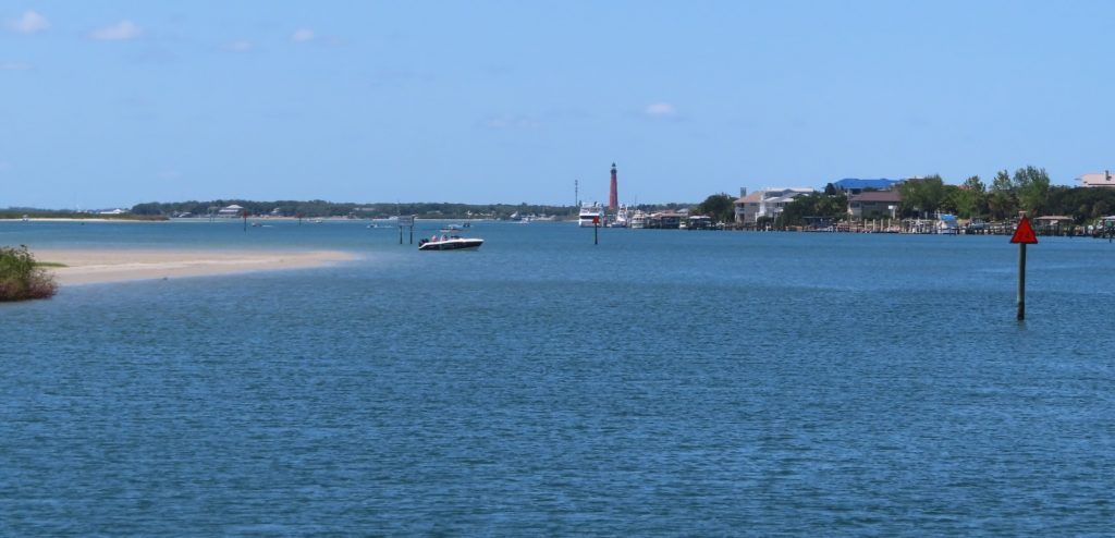
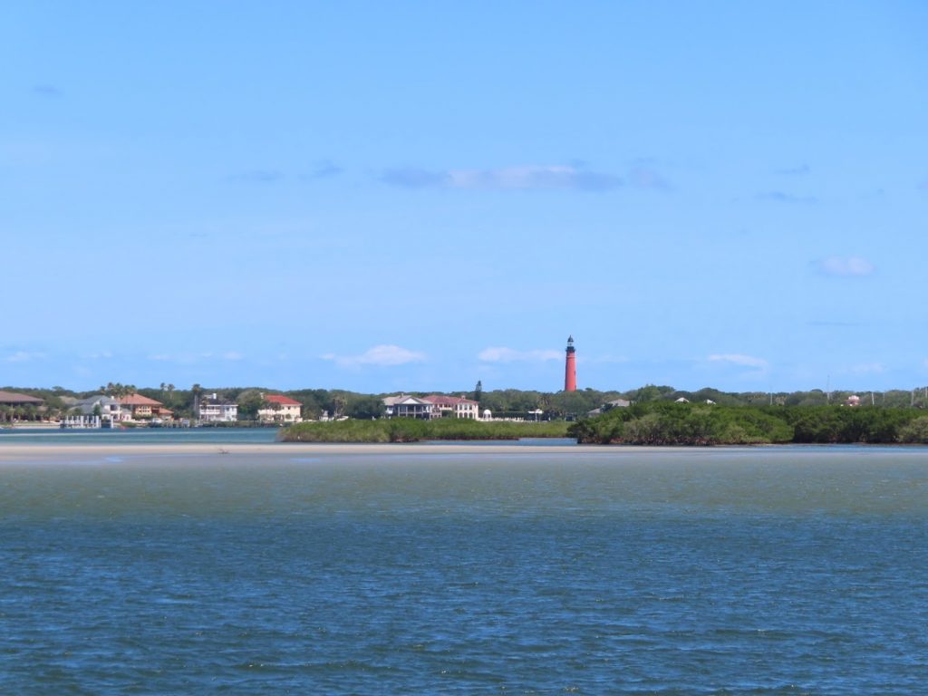
As we approached Ponce de Leon Inlet, we began to see some different waterscapes, with wide tidal sandbars. In the distance we could see the Ponce de Leon Inlet Lighthouse, the tallest one in Florida.
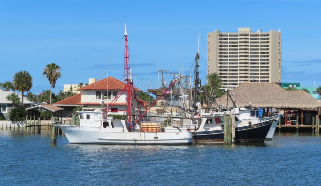
Great places to beach a boat and play on the beachLots of commercial fishing boats like these near the inletsThe light is good here to see the extensive shoaling to avoid
We got to practice our close quarters maneuvering a couple times, and get used to following the specific tracks from Bob423, noted AICW guru, through some known shoaling spots south and north of the inlet. Even more challenging stretches lie ahead, made more complex by the height of the tidal swings that we will see as we get to Georgia and South Carolina.
But for now, we pulled over at Daytona Beach and anchored for the night, enjoying cool temperatures again.
April 27, 2020 – Ben had to clear a huge weed ball off the anchor this morning, before we headed north on a bright and breezy morning.
Last night it got down to 61 degrees; Chantale thinks that maybe we are moving north too quickly. Hopefully we will see the warmer temps again soon.
We motored directly into the wind, for the most part, which drove choppy waves on the nose.
“Hey, that bird is ….PINK!?!”
Sure enough, a flamingo (correction: we were later informed by a keen birder that we probably saw a roseate spoonbill instead) was winging across our path and ahead of us. We couldn’t get a camera pointed on him quickly enough, though, to present evidence.
There are quite a few wildlife refuges along the coastline here, so maybe there’s a place that supports a big flock. Hope we see some more- it’s quite striking to see their color when we are so used to seeing the blacks, browns and whites of the gulls, pelicans, ospreys, cormorants and others.
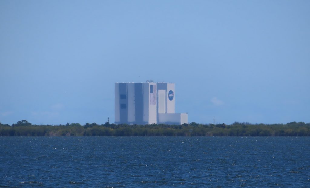
Soon the NASA complex at Cape Canaveral came into view. Unfortunately we are a month too soon to see the first SpaceX launch with astronauts scheduled for May 27th. We scanned the skyline but couldn’t discern which of the various buildings and towers might be the source of the upcoming launch. We hope a future trip past this area might coincide with a launch; we are told by others who have witnessed one that it is a memorable show!
Anchored by 1:30, we enjoyed a relaxing afternoon.
Storms in our rear-view mirror about an hour after we left Fort Pierce
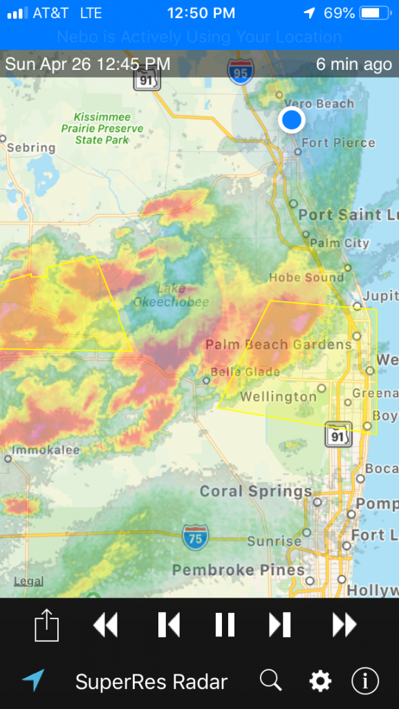
April 26, 2020 – We had thunderstorms in the evening after supper on Saturday, and the forecast was for more on Sunday. The line of storms were already lined up across the state by morning, so we decided that we’d sit tight until later in the day, to see when, or whether, it was safe to go.
That gave us a chance to do a big Hagar family Zoom chat, with Ben’s parents, brothers and families, and our son Greg. By the time that was over, the storms were past, none were ahead of us, and there was time to start moving north before another round rolled in.
It turned out to be the right call, as we had very clear sailing during the 48 miles up to Melbourne, without so much as a raindrop.
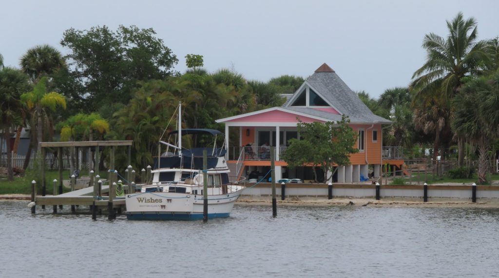
We began to get out of the built-up areas, and out into some less developed areas, or areas with less ostentatious homes.
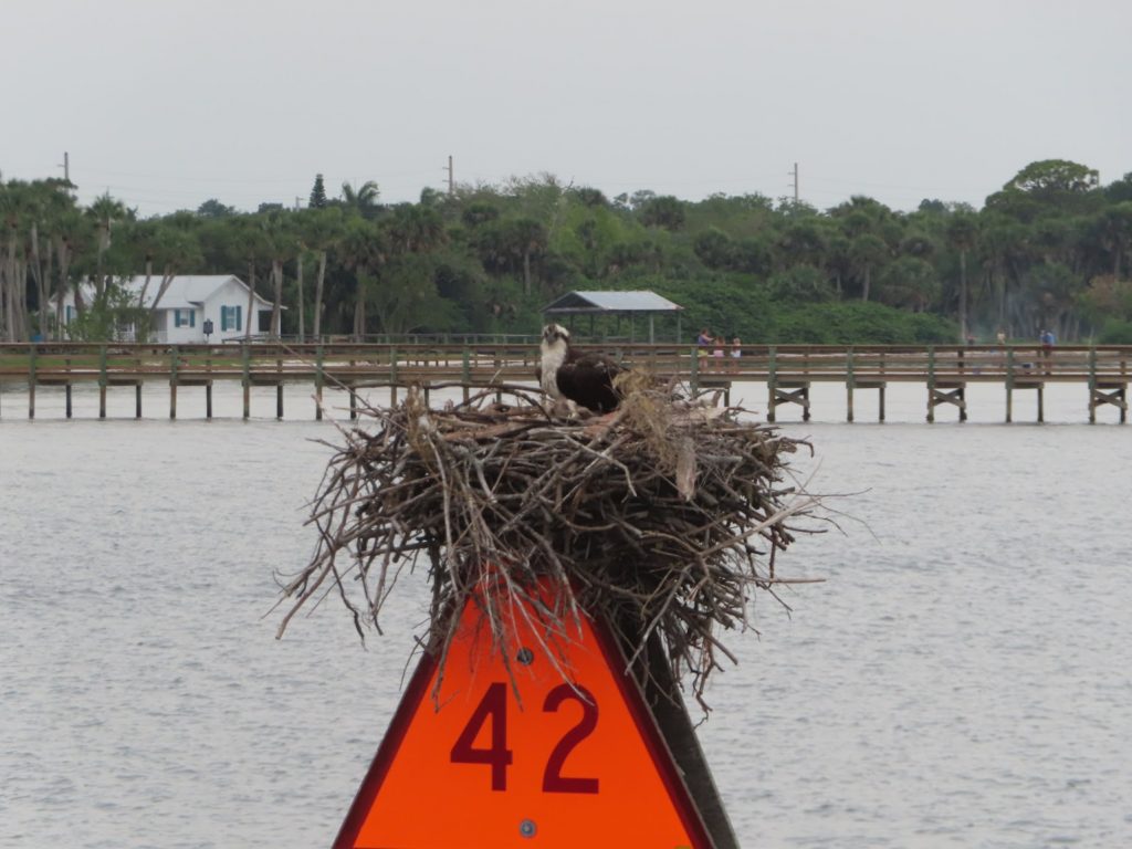
A classic trawler in front of a nice, understated waterfront home (unlike the mansions we saw the couple days before)This osprey has the right idea- that’s what a daymarker pole is for. Yesterday, all the osprey nests were in trees – today they were all on navigation aids. Hmmm
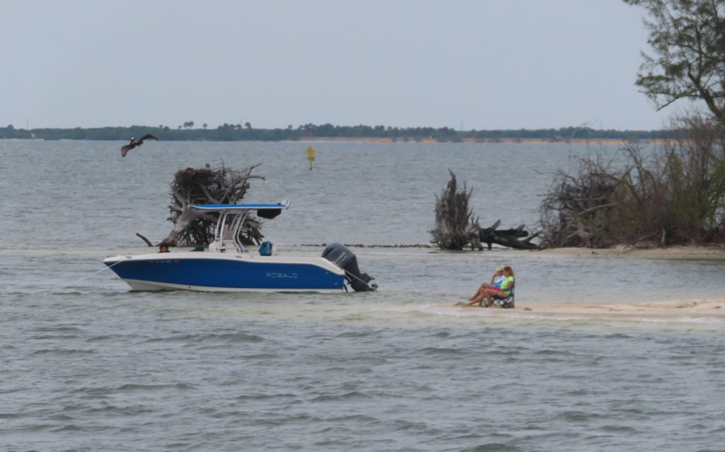
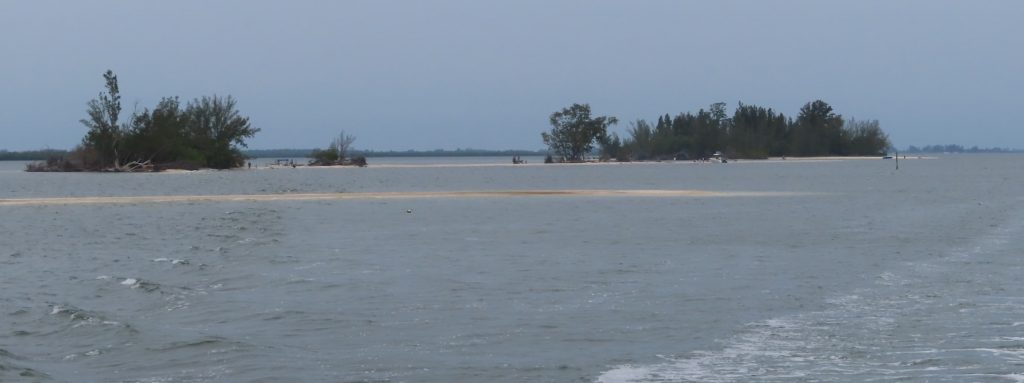
We saw a lot more fishing boats, and people were clearly leaning forward into more normal activity out on the water. Everything from jetskis to pontoon boats, skiffs to bassboats, center consoles and sportfish boats. There were some neat islands all along the waterway, apparently public, many of which had sandbars or beaches. Folks were sparse, and well spaced, but definitely pursuing some non-lockdown activity.
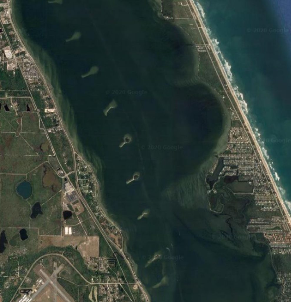
It turns out, these are ‘spoils islands’; spoils is what is collected when they dredge the channel to allow navigation on the ICW, and in many areas in Florida, these piles of sand, rock and coral have become conservation or recreation resources.
Google satellite image showing spoils islands along the route we traveled of the Indian River portion of the ICW
April 25, 2020 – Up and out early again, leaving West Palm Beach behind, for a longish (57 miles) day up to Fort Pierce, if the weather would hold.
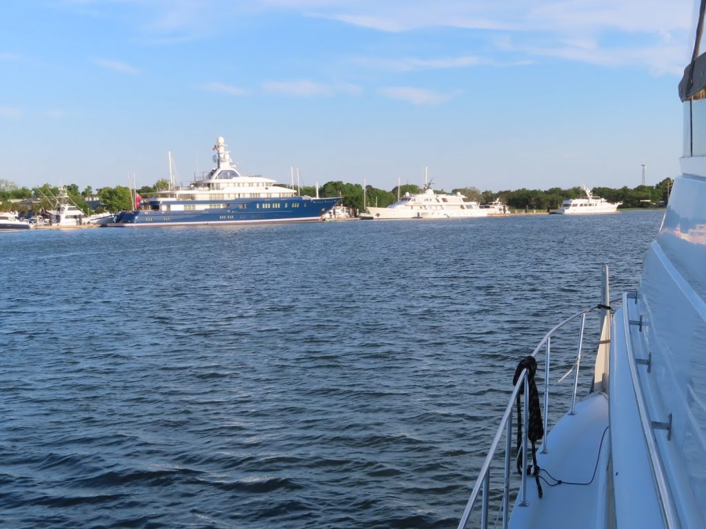
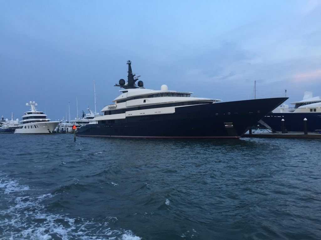
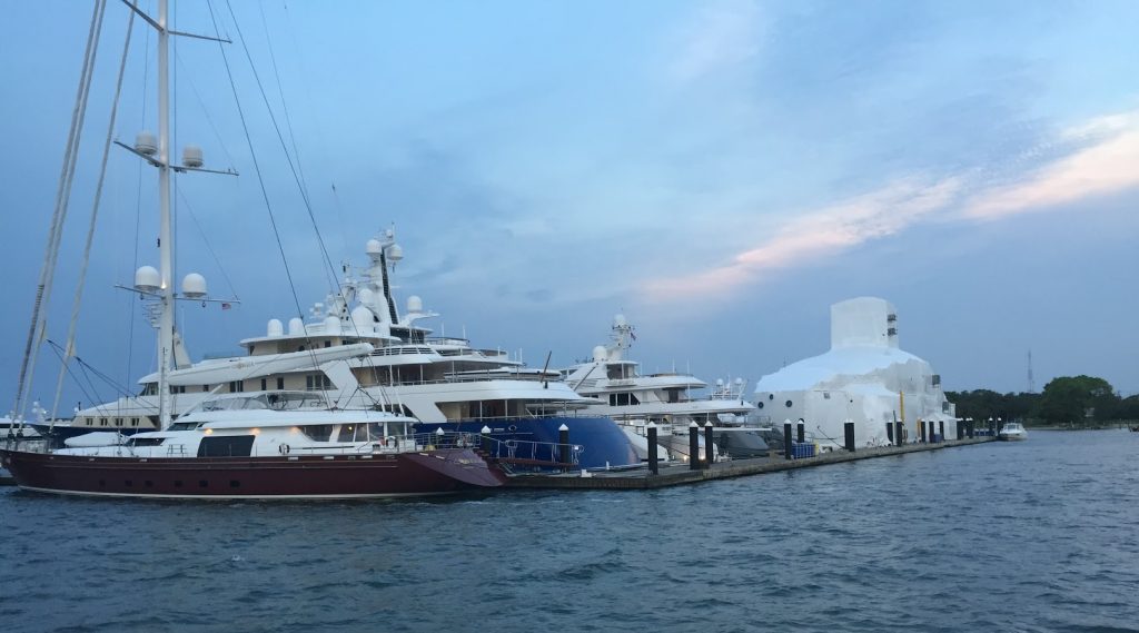
A megayacht harbor was just up the waterway from us, and we snapped a couple shots on our way by. A couple boats had crew outside polishing the stainless already, and it was only 7 AM.
A really big sailing yacht, that looks small next to the others on his row. And see the one in the back, completely enclosed by a scaffold and wrap, probably so they can paint it
There was a 50% chance of scattered thunderstorms, but the way things were shaping up early, it looked like maybe they wouldn’t materialize.
All the bridges today were tall enough that we wouldn’t have to request any openings, so other than slowing briefly at each one to pass under, were were able to keep up a steady pace. Well, as steady as the signs would allow us.
For long stretches we were the only boat again, but toward midday, there were quite a few more boats out, many heading out the inlets into the ocean for fishing.
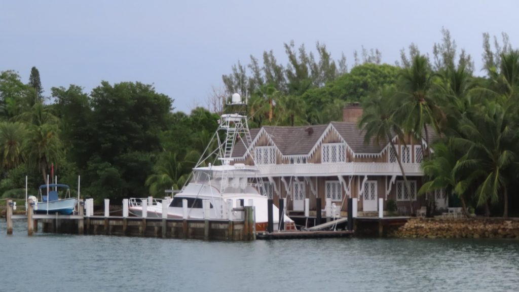
A couple were big sportfish boats like the one parked at this very atypical style house (for Florida)
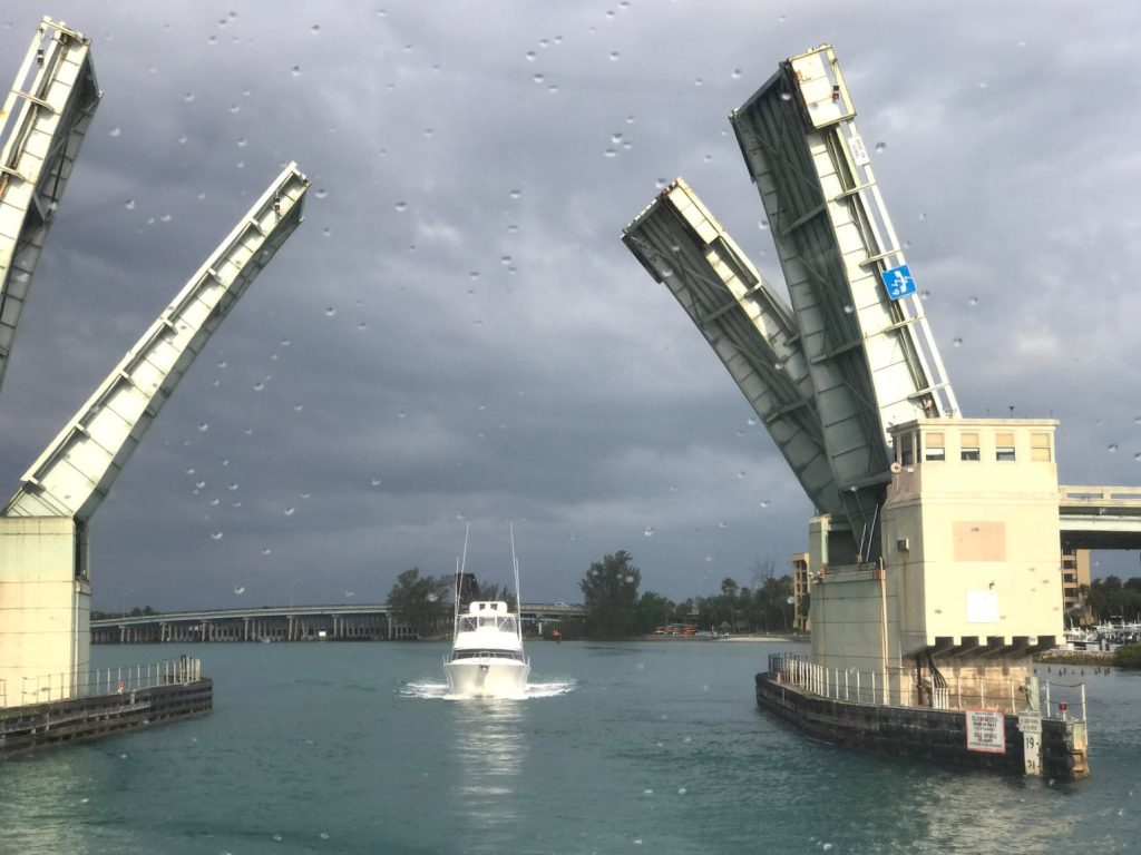
Or like this one that needed the bridge lifted for his big outriggers.
And a lot were more like this one who blasted around us about 20 feet off our starboard rail-
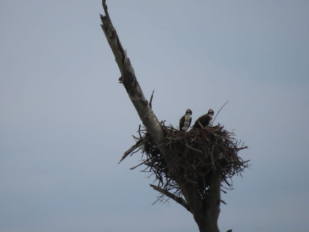
We’d been coming through very built-up areas, since Miami, and it was nice to have some more rural areas with some wildife. Unlike in the Chesapeake, where ospreys often nest atop navigation aids, here there nests are up in dead trees.
It had been a while since we had dolphins come play alongside the boat, so it was a nice treat to watch them for a while.
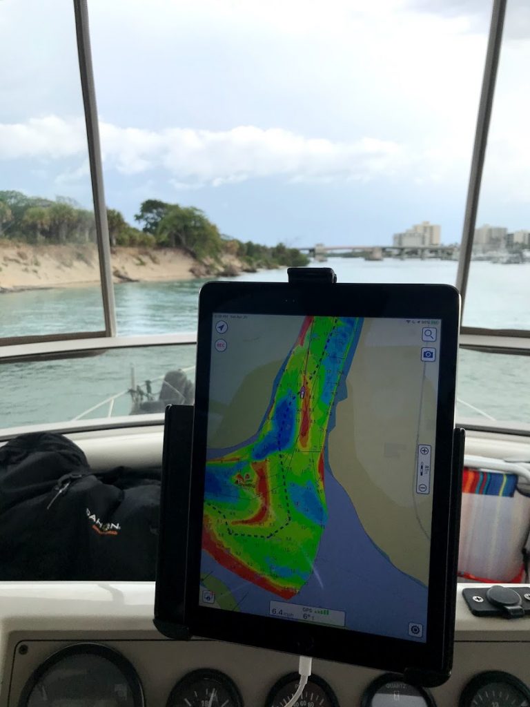
Although navigating was pretty straightforward overall, today was one of the first times that we would encounter one of the ‘trouble-spots’ along the AICW where shoaling occurs significantly enough to impede safe passage through the marked channel. In other words, even if you are in the channel, between the red and green markers, you can still run aground. We have some electronic aids that show us current Army Corps of Engineer survey data, as well as some ‘recommended tracks’ from a particular experienced ICW cruiser. Here is the Jupiter Inlet, with the iPad showing the safe and danger ares, with safe route.
Tricky shoaling in Jupiter Inlet
We were glad to get to the Fort Pierce City Marina by around 1 pm, in time to fuel up and pump out, and to take advantage of the shore power for some nice sustained AC.
After some boat cleanup, Ben walked a few blocks to get carryout at a Thai restaurant. The predicted storms finally rolled through at about 7, and a bit later we enjoyed a video chat with our son Greg and his fiancee.
April 24, 2020 – Unlike yesterday, we wasted no daylight in getting up and underway early when we left Fort Lauderdale this morning. Once we could see on deck to raise the anchor, and the markers in the channel, we headed for the first bridge we needed to have opened.
Before the third bridge, a cruising sailboat (Sea More) pulled out of an anchorage and trailed us, soon joined by another (Sea Turtle). I paced our speed to arrive at the prescribed opening times for all the bridges that we were too tall to clear.
None of them opened quite on time, so we’d drag our feet for the last few tenths, and sometimes have to hold our position while waiting the final few minutes. That was occasionally tricky, as the gusty wind would swirl across the canals and channel.
Eventually, though, we were able to tuck under a couple bridges that the sailboats had to have opened, and were on our own.
Really on our own. As in, except for those two, we didn’t encounter another boat all day long that was bigger than 20 feet long, for the whole 40 miles through a dense, boat-rich, stretch that under normal circumstances would have probably been pretty hectic.
No boats in front of usNo boats behind us
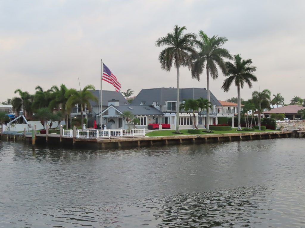
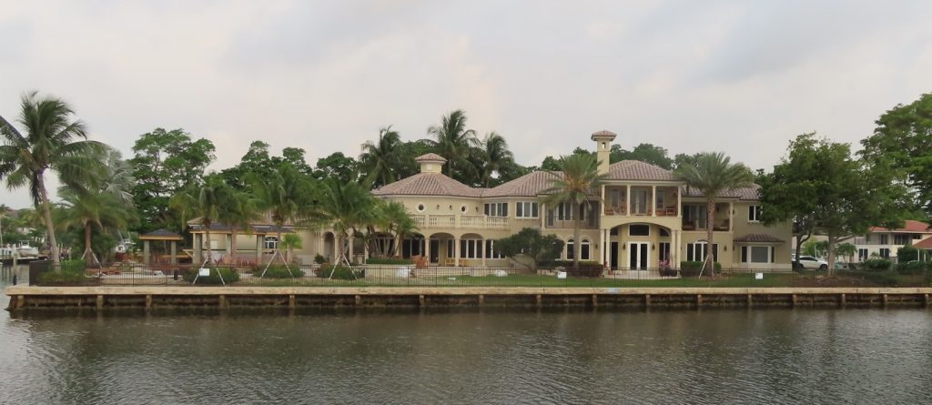
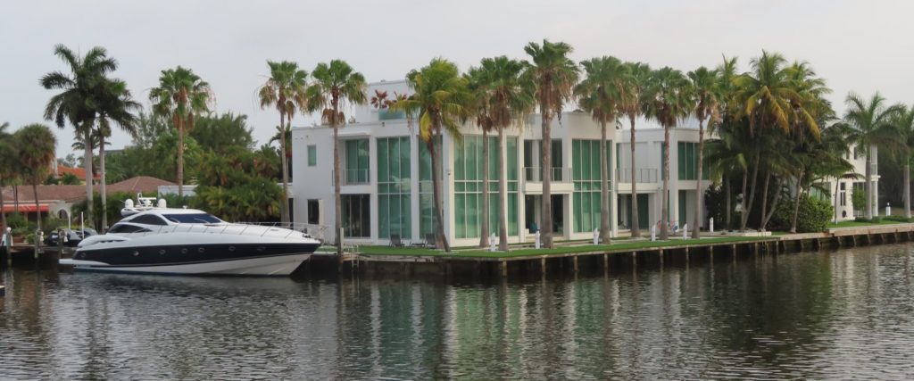
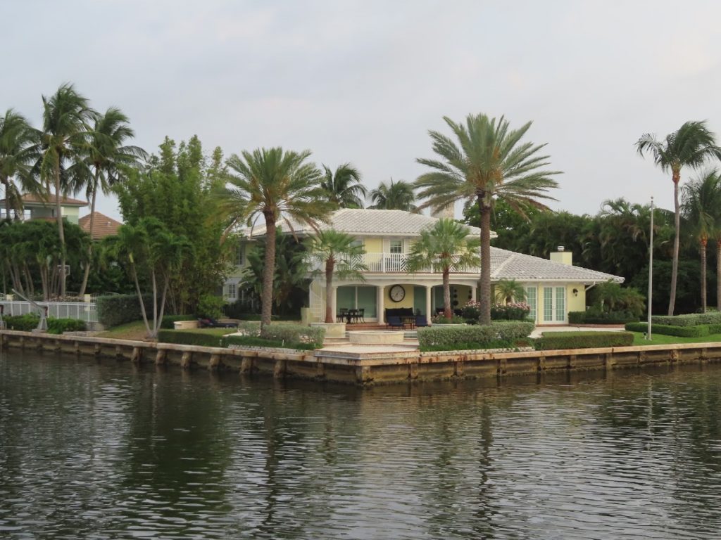
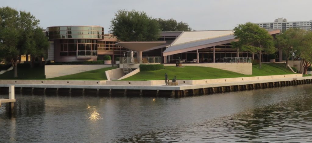
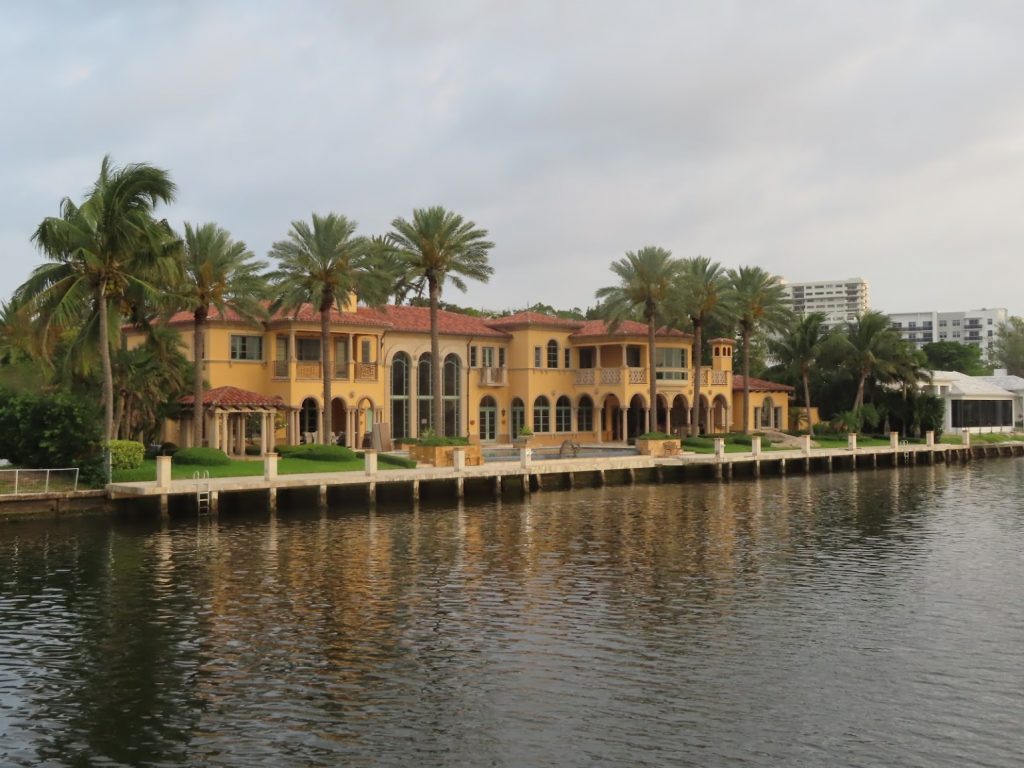
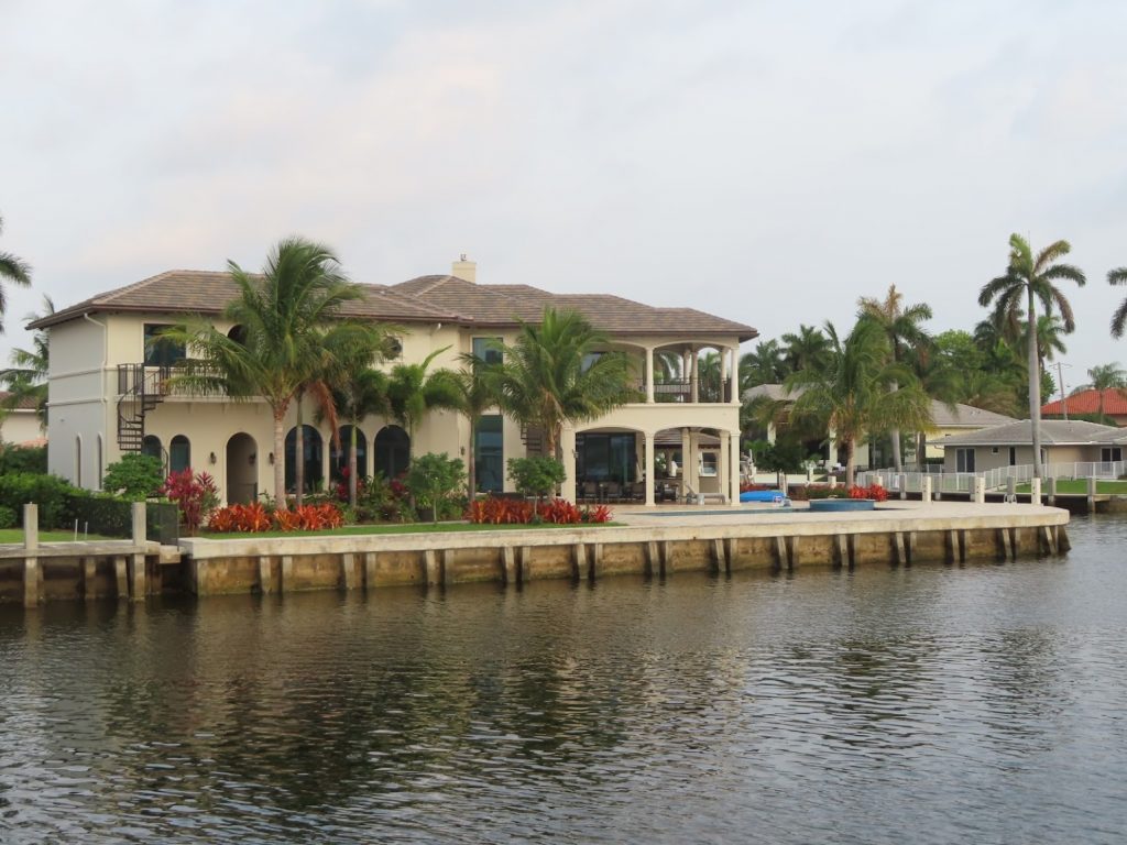
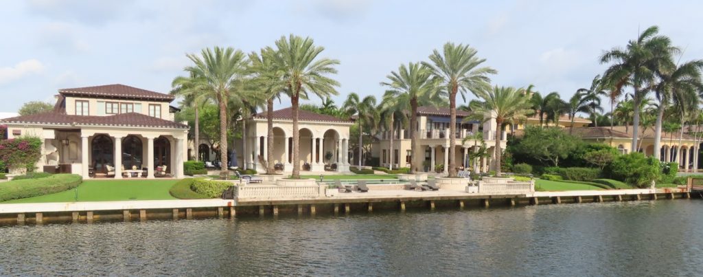
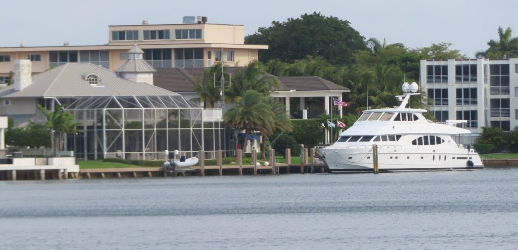
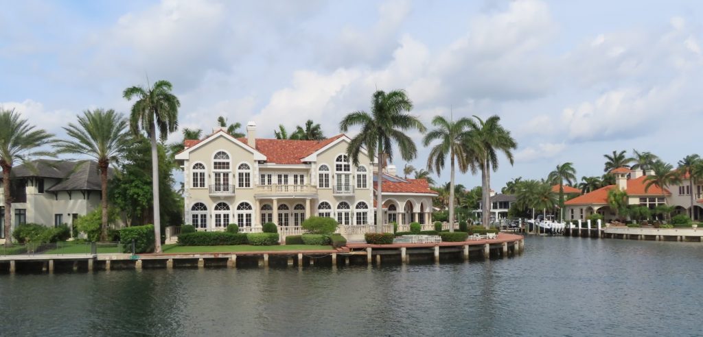
So, we did have the time to snap some pictures of some of the nice real estate in this stretch.
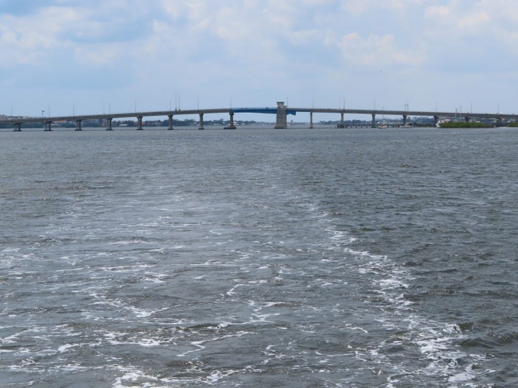
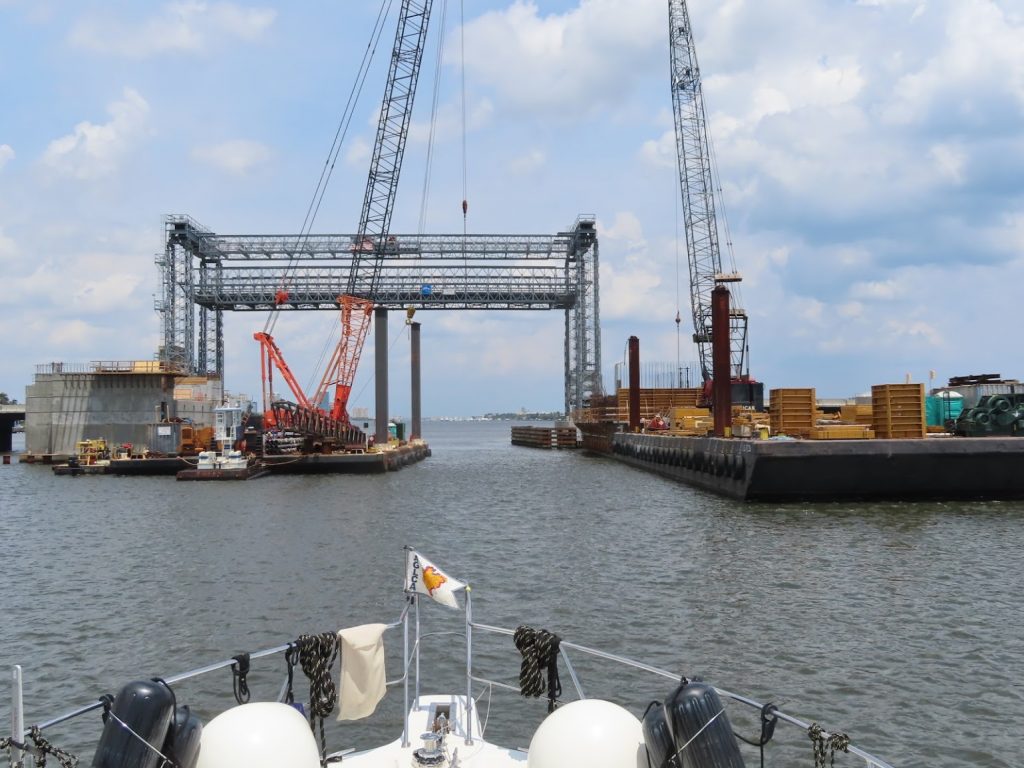
We did have just a little excitement when coming up on a bridge that was under renovation. There were construction barges parked with just a little channel in between for us to go through, and then part of the bridge support on the other side to get around. In a gusty wind. Piece of cake.
Very nice of them to tie some old tires on the sides of the barge
We started to get a sprinkle, possible a harbinger of the thunderstorms that were predicted for late in the day, so we elected to pull off in West Palm Beach to anchor. When a downpour came down later, the captain went out in his swimsuit and the boat brush to take the first layer of salt spray off the decks. The cool rain felt pretty good after the sticky heat of the afternoon.
Today we logged 40 miles and 17 bridges, (eleven of which needed to be raised for us). All in all, a good day.