
September 5-12, 2019 – When we left Mel’s Riverdock Restaurant dock, The Lower Place led us all the way down the rest of the Illinois River, and on to Alton, IL, a short distance past the confluence of the Illinois and Mississippi rivers.
The navigable Mississippi River runs, in total, 1700 miles from Minneapolis, MN to New Orleans. We will run just 218 miles of the Upper Mississippi, before turning up the Ohio River at Cairo, IL. The 855 miles of the river past that point is called the Lower Mississippi.
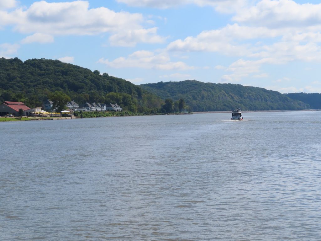
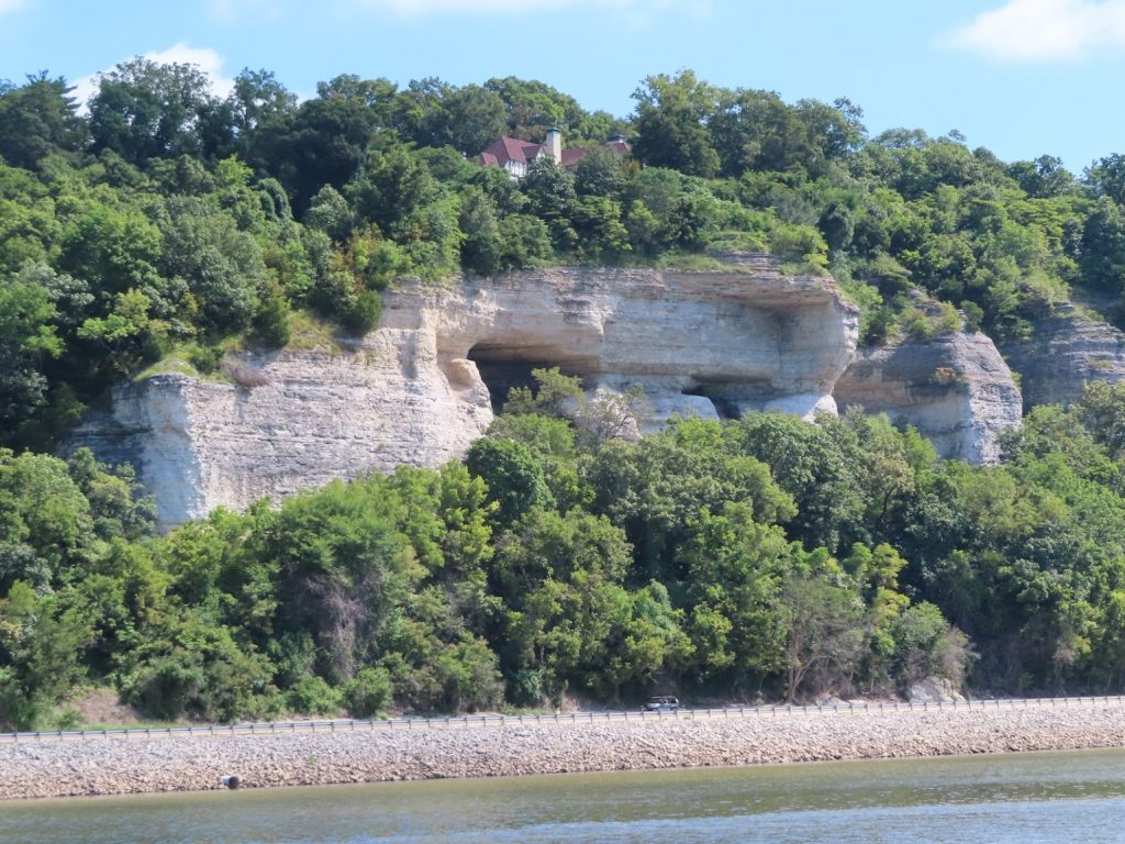
As we end up our trip down the Illinois, the terrain along the river starts to change, and we see high treed hills, some with nice homes overlooking the river. When we turn onto the Mississippi, in addition to many, many barges anchored along the shore, we see high stone bluffs towering over the riverside highway.
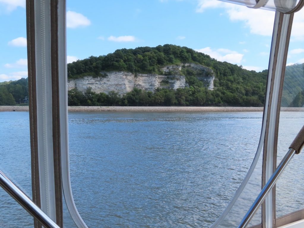
After just 15 miles on the Mississippi, we pull over at Alton, IL, to a very nice municipal marina. Many of the docks are covered, under huge floating sheds, but we are placed in an uncovered slip. Oh well. The shade would have been nice, we found out later.
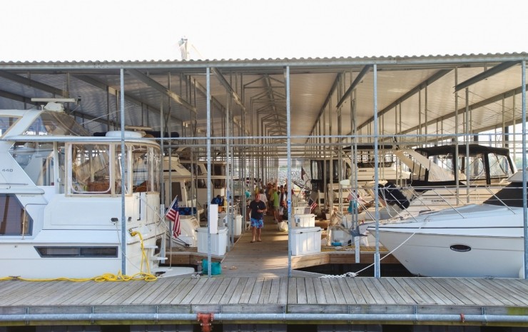
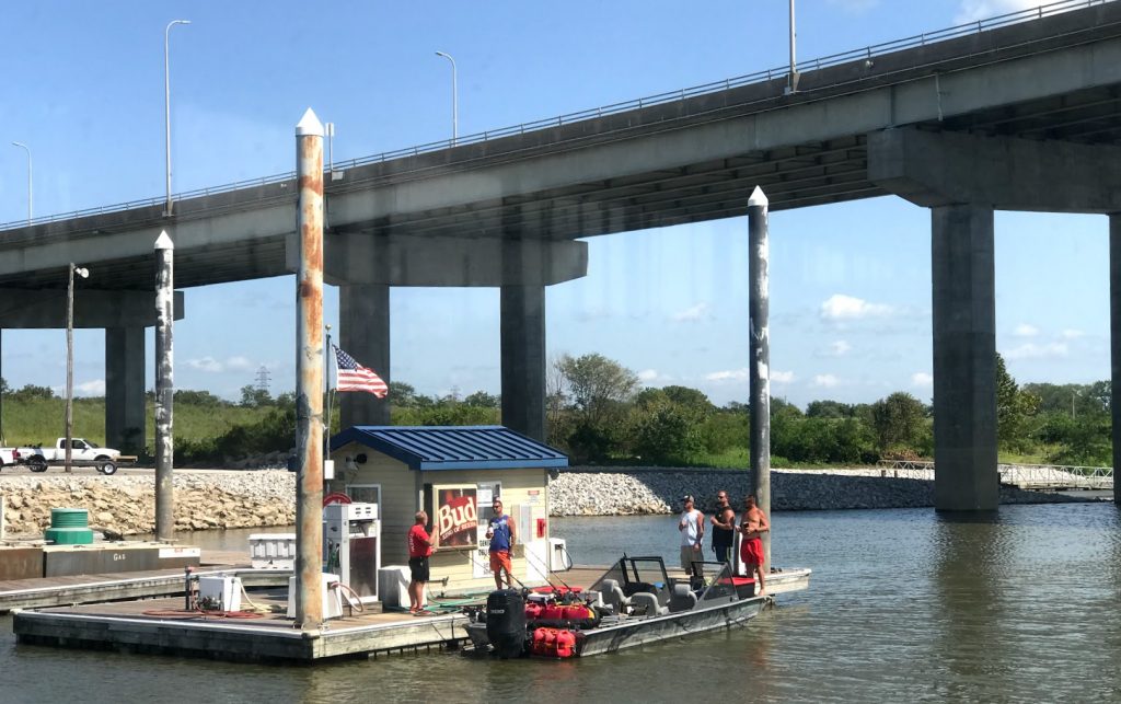
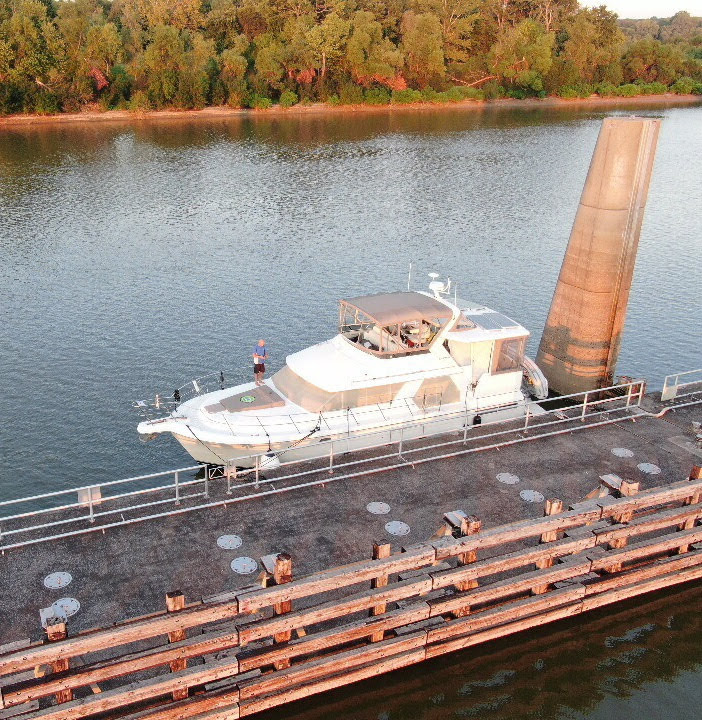
The whole marina complex – office, store, restrooms, even the pool (!) is floating, so that as the river undergoes the ferocious flooding it is known for, the whole place just rises up. Note the tall steel pilings in this shot of the fuel dock, taken for the hilarious group of bro’s all standing with drinks while they fueled about a dozen extra fuel cans for their fishing boat.
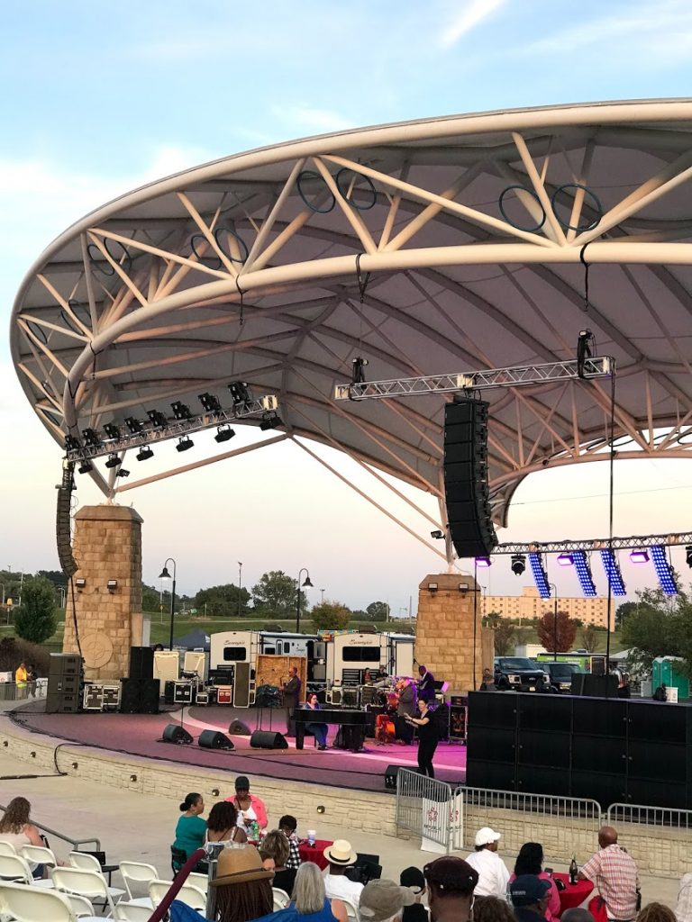
The marina had a special deal (buy 3 nights, stay 3 more for free), which we decide to take advantage of since we are a few days ahead of our plan. We get caught up on laundry and some other boat projects, sample some of the local food, and music, and even rent a car to make a few shopping stops around time. Finally, it’s time to head on down the river.
There are two locks that we will need to go through today; the first, Mel Price Lock, we can literally see right from our slip, so we call the lockmaster at 6:00, and tell him that we are preparing to leave the marina at 6:15. He told us that he’d get the lock ready for us – ‘come on’. So we shoved off at first light, and motored the 10 minutes over, to cruise right into the waiting chamber; down we went. One down, one to go…
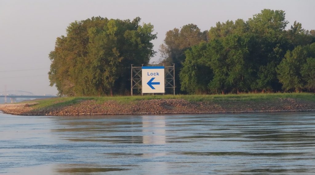
The next lock, Chain of Rocks Lock, is on a side canal that bypasses a lengthy area of rapids. When coming down the river, there is a huge sign to make sure that nobody goes the wrong way! We passed a tow a few miles before the lock, and figured that he might get locked before us anyway; but this lock has two chambers, and the lockmaster put us right in one of them and took us right down, intending to bring down the larger tow in the other chamber when he got there. So just a few hours into the day, and we’d experienced no waits at locks at all!
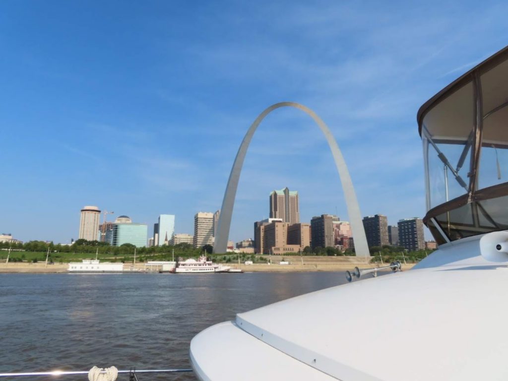
Within just a few miles, we are coming past St. Louis, and see the arch. Ben calls up a webcam that shows the arch, in hopes of getting a screen grab of us crossing in front of the arch – got it!
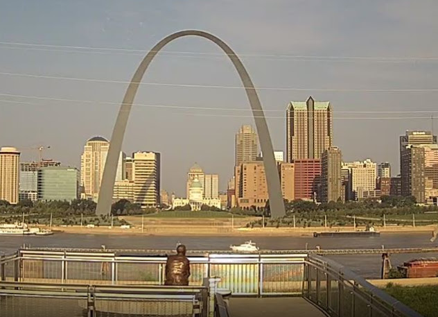
Meanwhile, Chantale is busy with our camera, and gets some great pictures; pretty quickly it’s behind us. Amazingly, there are no waterfront facilities to stop in St. Louis for recreational boaters.
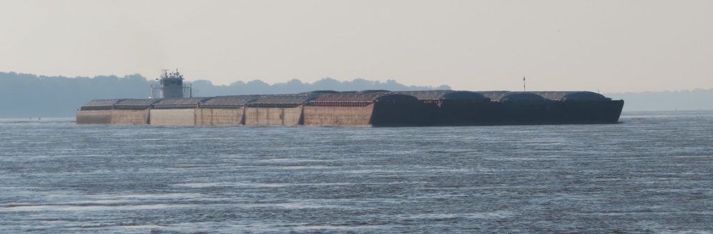
Now it’s just running downstream, following the correct channel, avoiding debris, and communicating with the big tows over how we should position ourselves in the channel, based primarily on how they need to angle their loads around the bends in the river. We passed one that had a load that was four barges wide (170′) by four barges long (800′) at the front, PLUS a rear part that was 6 barges wide (210′) by three barges long (600′), so a total of 1400 feet long ! So we better make sure that we are in the correct spot when he comes around the corner. We can see the front corner of his load minutes before we can actually see his elevated helm at the very back. But he can see our exact position from the AIS, and we work out on the radio how to pass. Here’s a bit of how that sounds between two tow captains. (We have had to calibrate our ‘listening muscles’ to make sure we get it all…)
The Mississippi, once unchained of the locks and dams, is a beast!
It roils and spins, shaped by wing dams and bending wiers, that are man’s attempts to keep it flowing in it’s channel. It carries along big logs and other debris. It adds 5 or 6, or even 7 mph to our speed, and fights against the mighty tows pushing the barges upstream. Their wakes throw huge waves, and the props cause eddies that can spin our boat sideways in an instant. We have to be alert for a half mile after passing one, for areas of the water that can grab the boat.
It is hard to convey, even in pictures, just how much the river moves. It doesn’t just flow, like other rivers we have been on; the surface continually swirls, upwelling from the bottom, causing lumps and hollows. They seem like they might be water churning over a shallow shoal, but the water is 50 or 60 feet deep, and still angry.
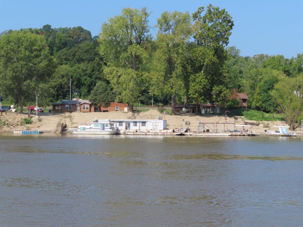
We push 83 miles down the river, bypassing Hoppies Marina, a place that has been part of Looper lore for decades; a couple sunken barges for docks, it was once a key fuel stop, and prized for the local knowledge conveyed by its proprietor to boaters heading down the river. In the last year or two, floods have reduced the scale of the operation, taking out some docks and the fuel capability. We didn’t need to stop, and wanted to just get miles behind us, so we snapped a picture and kept on going.
Instead, we go another 44 miles, turn up the Kaskaskia River, and tie to the outside of the lock wall there, with four other Loopers. It’s HOT, and we fire up the generator to get some AC, and then turn in early for an even longer day on Thursday.
We were up and away early, ahead of the other boats, heading down to an anchorage just short of Cairo, where we will turn left and upstream on the Ohio River. Quite a few tows today, but no drama for passing. It was prettty hazy, and not a good day for picture taking.
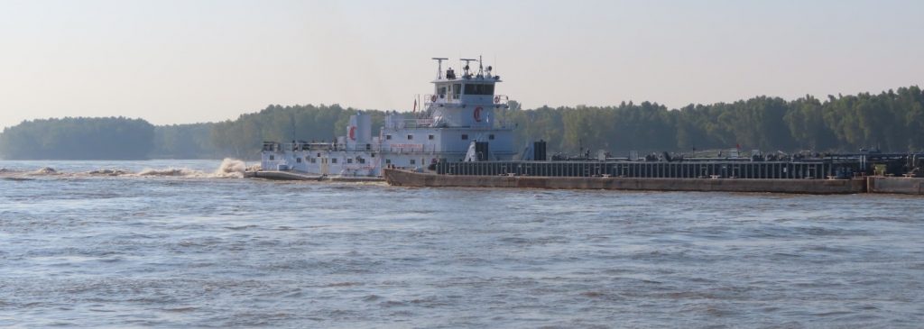
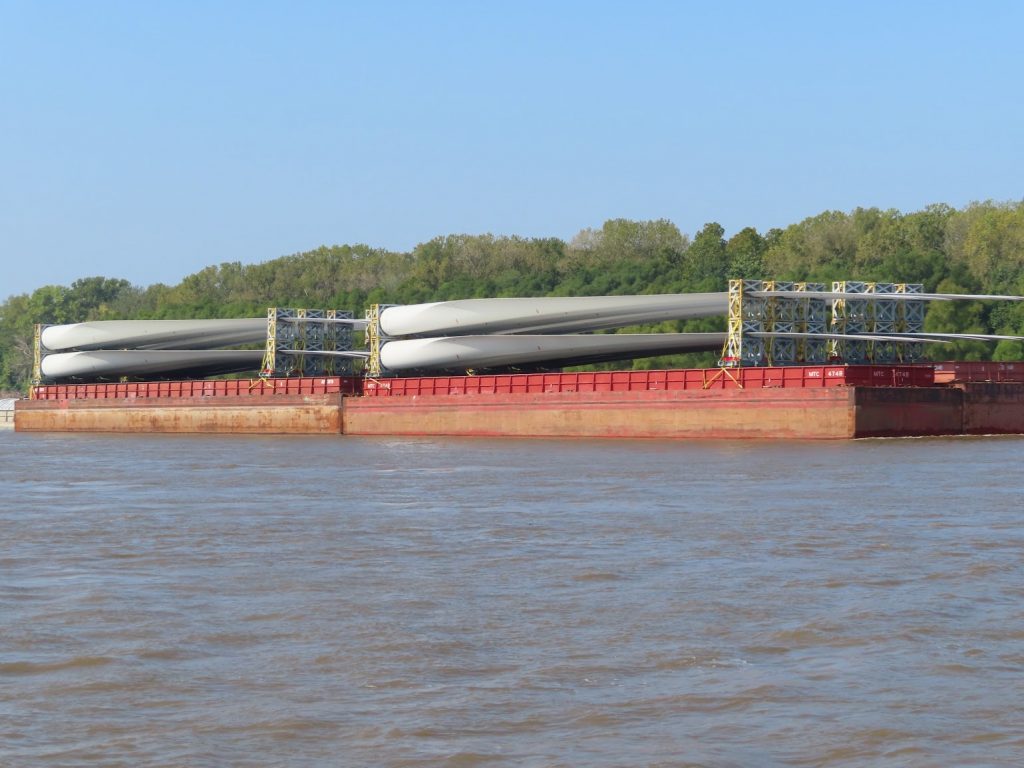
The current seems to be growing, and we get a good 6 mph push for much of the way. It really churns at a few places where underwater structures have been placed to help guide the river around curves.
At one point Ben had to aim the boat in between two whirlpools 8 feet across and six feet deep at the center. Yikes! We know where the navigation bouys are supposed to be, but we saw a few that were literally dragged under by the current. Wouldn’t want to hit one if you got too close.
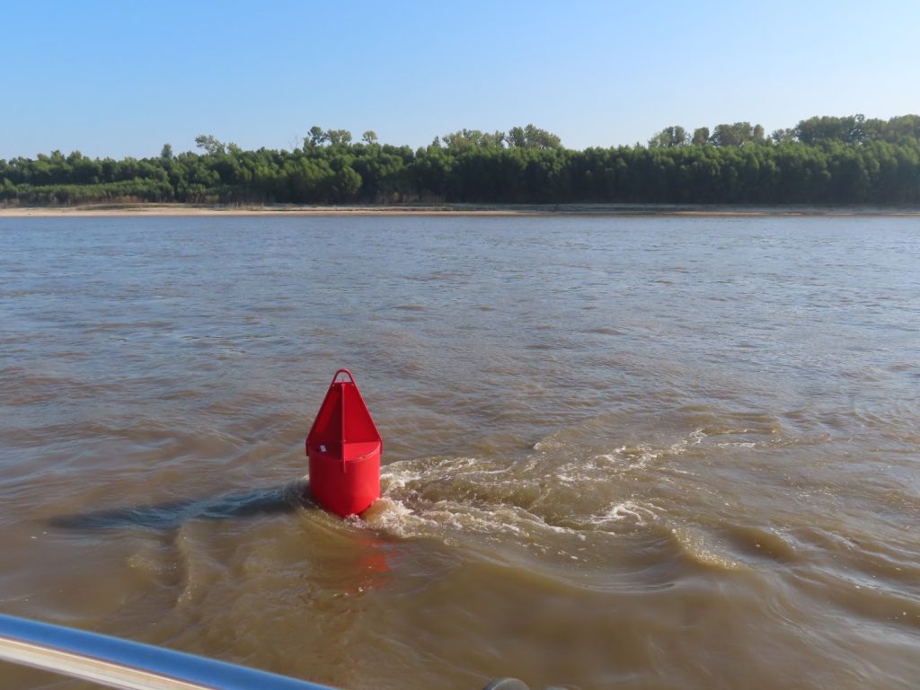
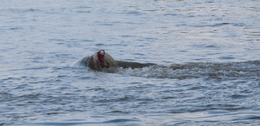
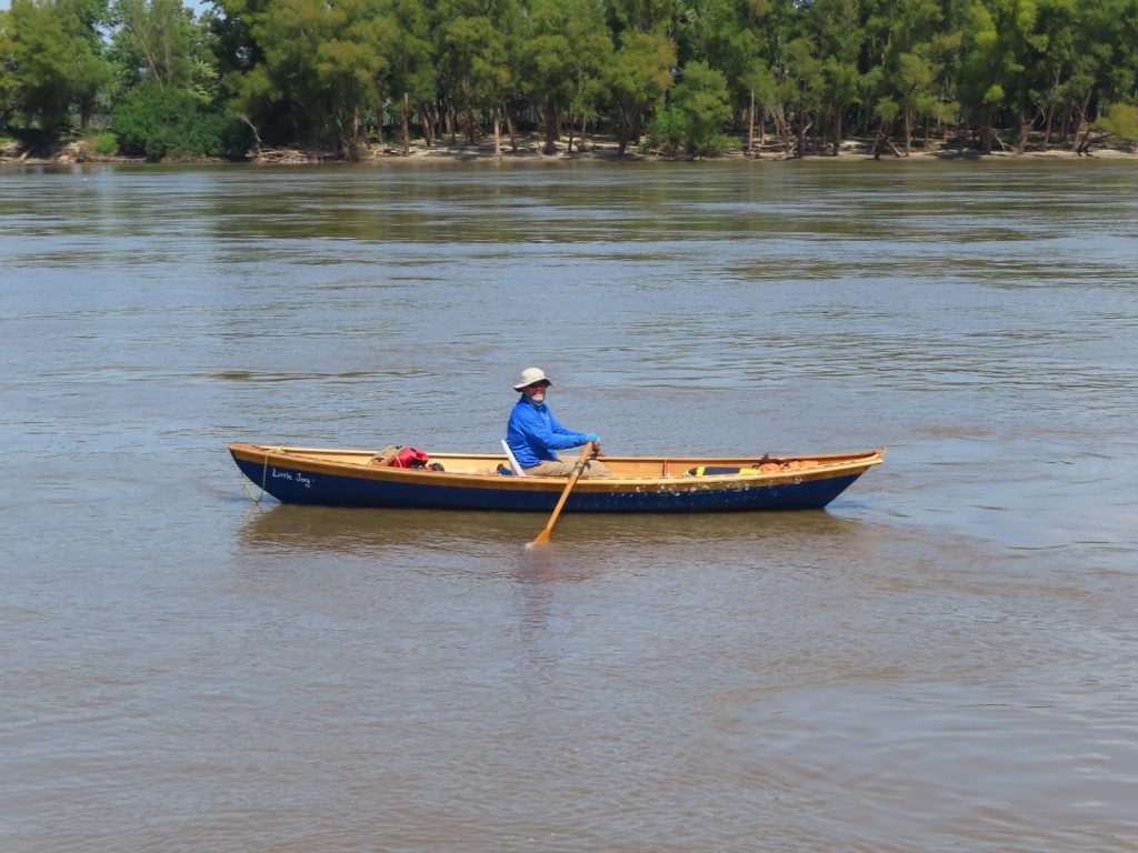
At one point, we look ahead, and see what looks like a rowboat. Huh?
We slowed down to idle and pulled up to find a guy who is rowing down the river, headed for New Orleans. Wow! Hope he has a ground crew, since he seems to be traveling pretty light.
Finally, after a long day (113 miles! – our furthest travel day of the loop so far), we get to our anchorage at Boston Bar, up behind a small island, where the current is only a couple miles per hour. The anchor grabs quickly, and we fire up the generator, to cool the boat, and the grill to cook dinner. We hear a lot of road noise from the I-57 bridge, and the tows that passed up and down the river; combined with the heat, worrying about the anchor, given the strong current, and the next day’s trip up the Ohio, we didn’t sleep too well.
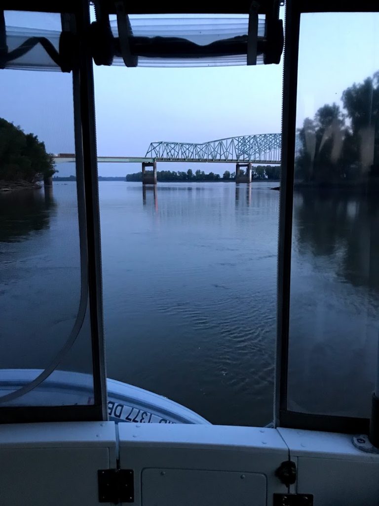
So, in two days, we have made it safely down 196 miles of the Mississippi – just over 8 miles to go, and then we will have the Ohio and Cumberland Rivers to tell you about.