
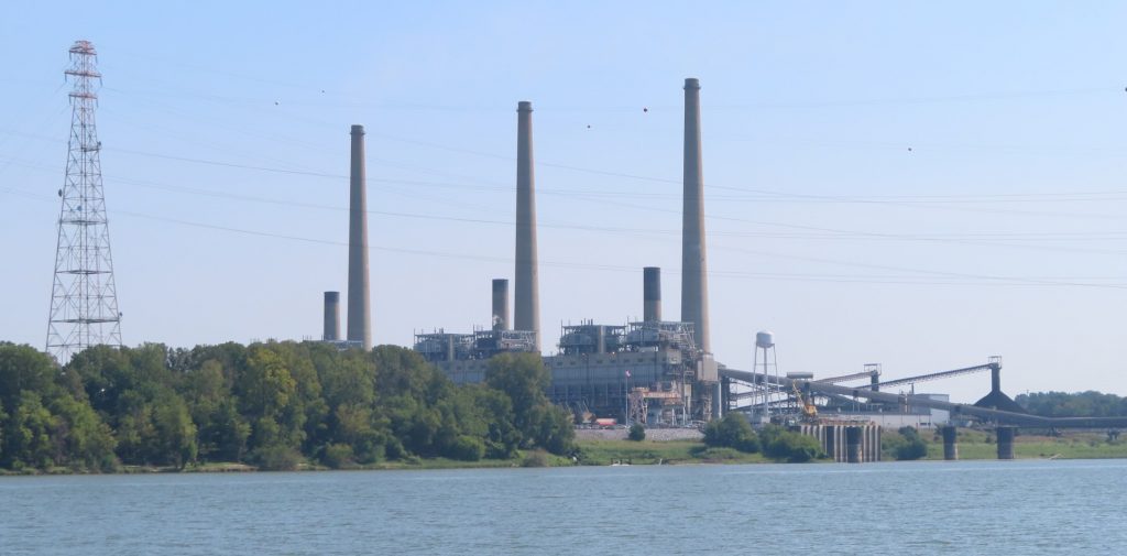
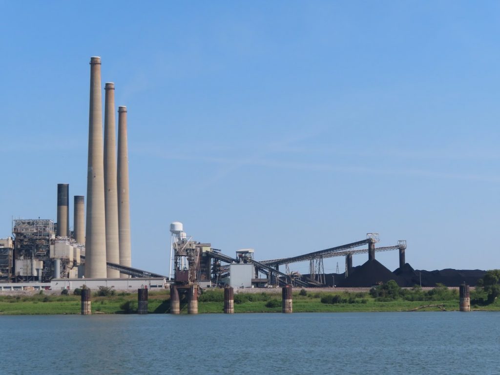
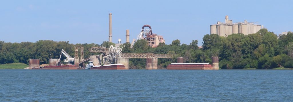
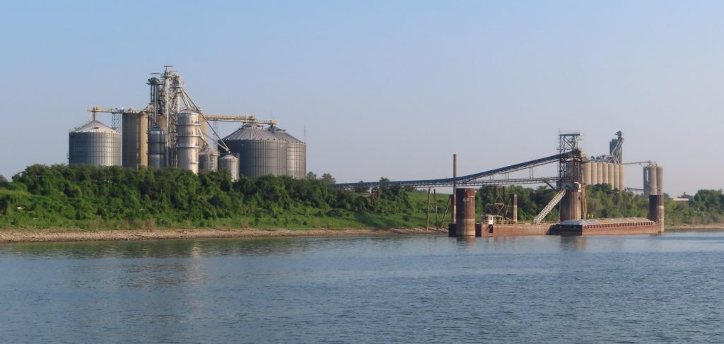
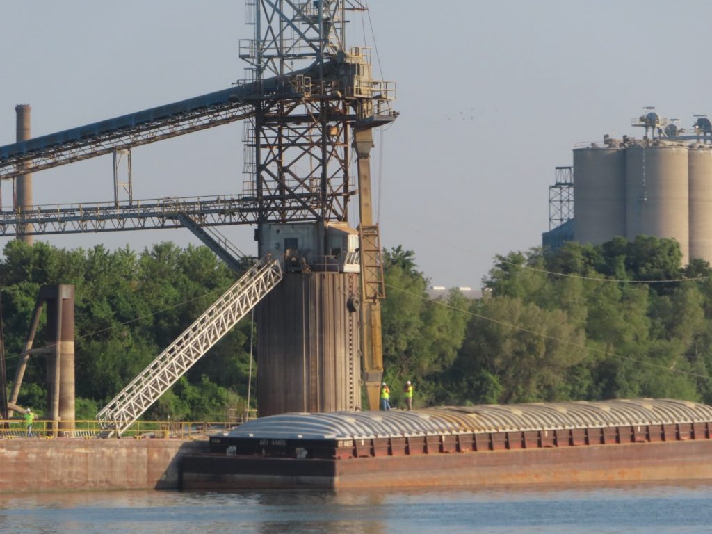
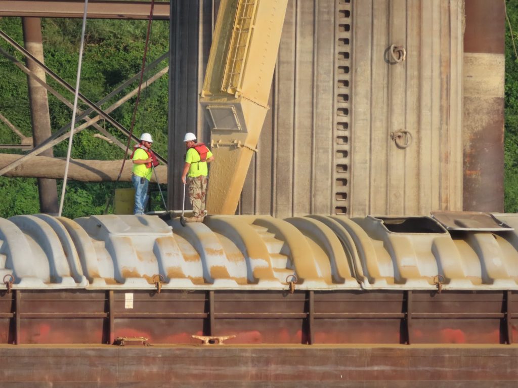
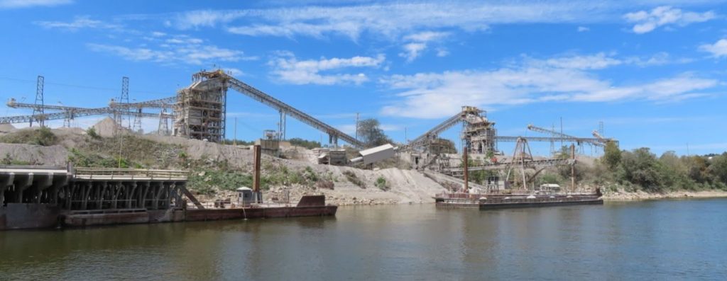
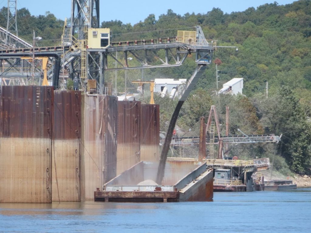
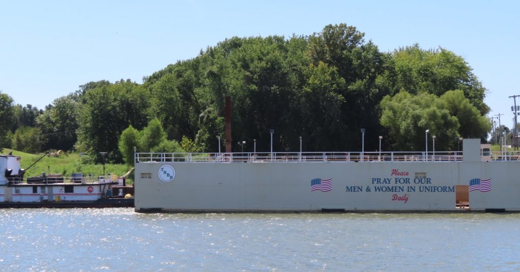
September 13-14, 2019 – It has really been eye-opening to see the mammoth scale of the commerce conducted on, and alongside, the river system. There are some bucolic stretches, but then around a bend are coal-processing plants, or mining operations, or refineries, or grain elevators, powerplants, and support facilities for barges.
And barges, barges, and more barges. Parked along the banks, or anchored in the river. Big tows, medium tows, tugboats. We keep the binoculars handy, to make sure we can spot whether they are stationary, or moving, and their relationship to the navigation markers denoting the safe channel. (We could probably stray outside the shipping channel a bit, as far as depth is concerned, but almost never do.) The chartplotter screen sometimes was thick with the icons for tows, with 90% sitting still, but a few moving about, or underway, especially around major junctions that are staging areas for taking one river or the other, or where goods are loaded or unloaded onto the barges.
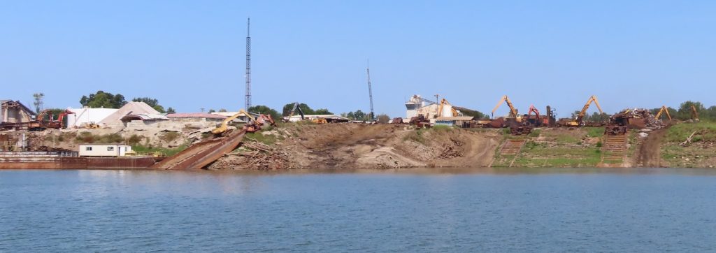
The area where the Ohio River joins the Mississippi is one of those areas; the miles and miles of staged barges are hard to capture in pictures, but here are some of the shore facilities.
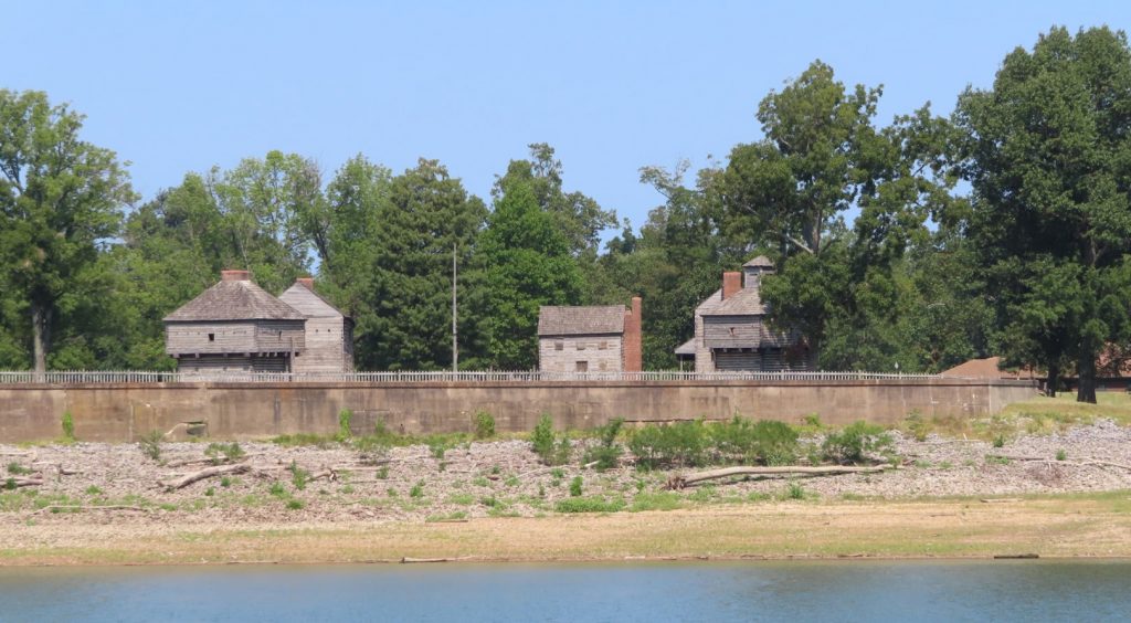
Its site was listed on the National Register of Historic Places in 1971. (see Wikipedia article)
On the way up the Ohio, we pass through Olmsted Lock, just completed last year, to replace Locks 52 and 53, that were dated and very problematic. Those locks are still undergoing destruction; we were told that they sometimes shut down the river traffic for up to four hours to allow blasting of the old structure. Fortunately, we were able to pass on by without delay.
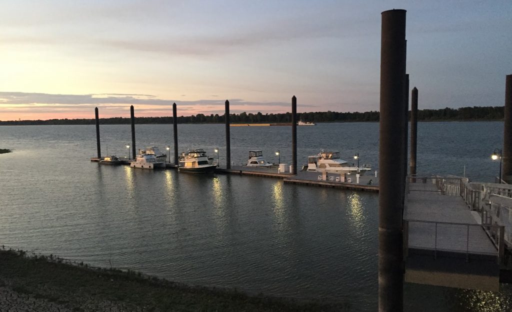
We stopped at Paducah to overnight on their municipal transient dock. Their old one was destroyed in a flood, and they built this one to make sure it didn’t happen again. This picture from the top of the bank gives an idea of how high the pilings are to allow the dock to rise.
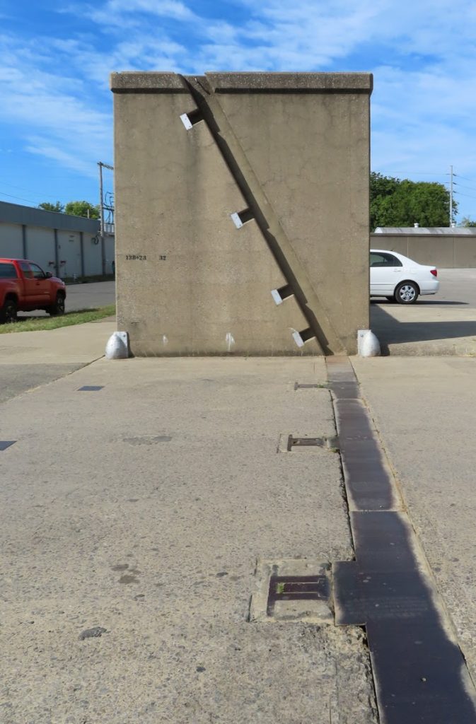
Walking from the dock to town, we encounter another protective floodwall, that encircled the town; there is a slanted ‘gate’ that would be elevated up the notched track, under flood conditions to make a further 15-20 feet of protection to the city.
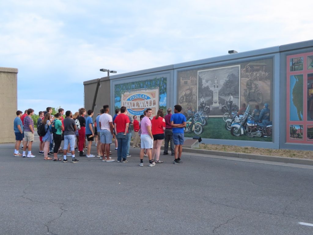
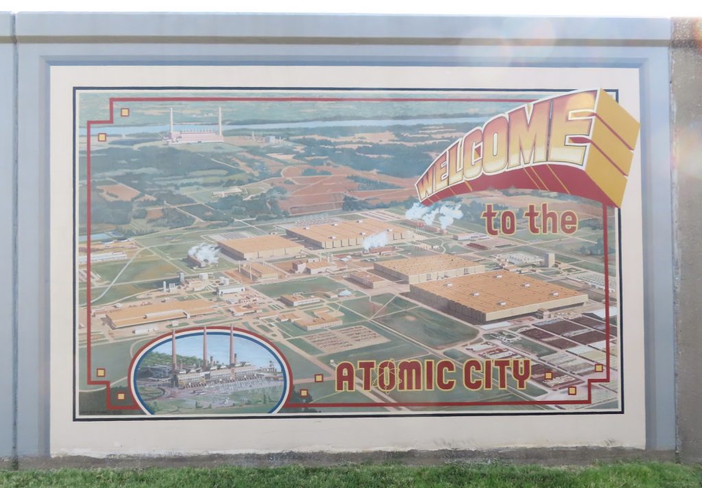
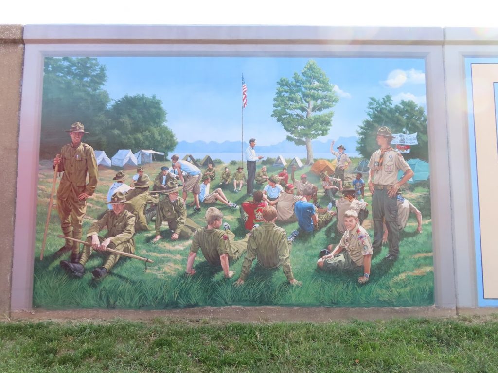
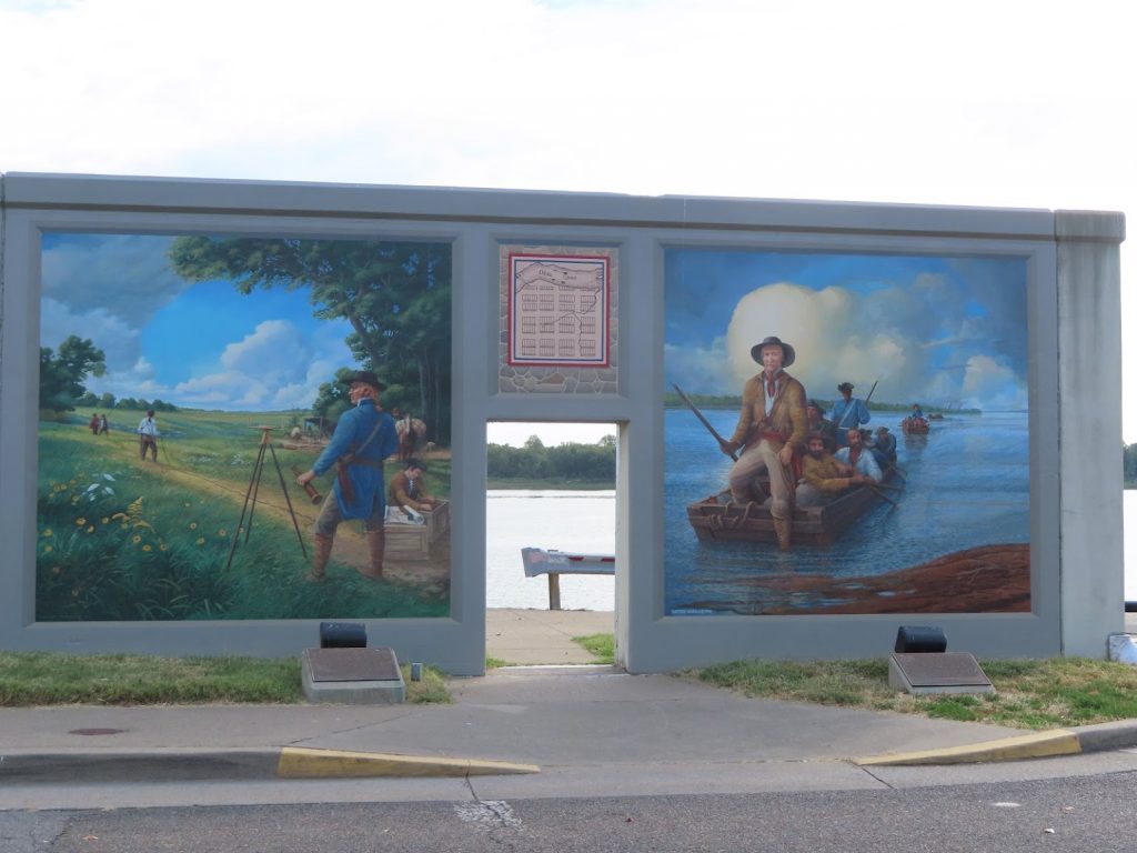
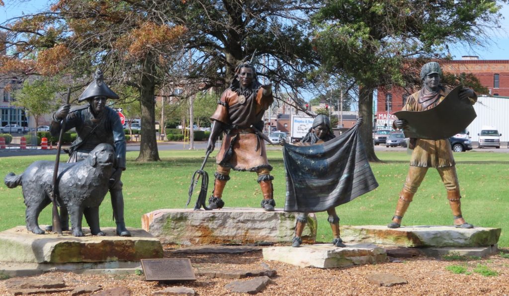
On the inside of the wall, there is a long stretch of beautiful historic murals, with various scenes from their history. Very nicely done, and informative.
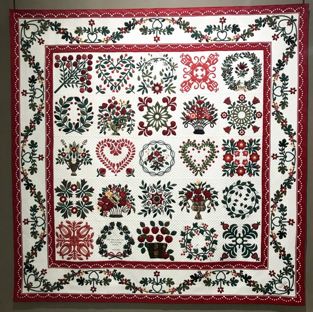
Paducah is also home to the National Quilt Museum; since Ben’s mom is an avid and accomplished quilter, we went to see what was on display there. It was quite fascinating to see not only traditional quilts, but very avant garde and artistic work as well. Here are just a few:
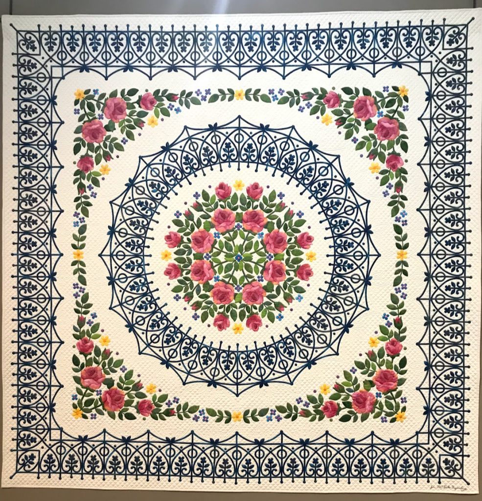
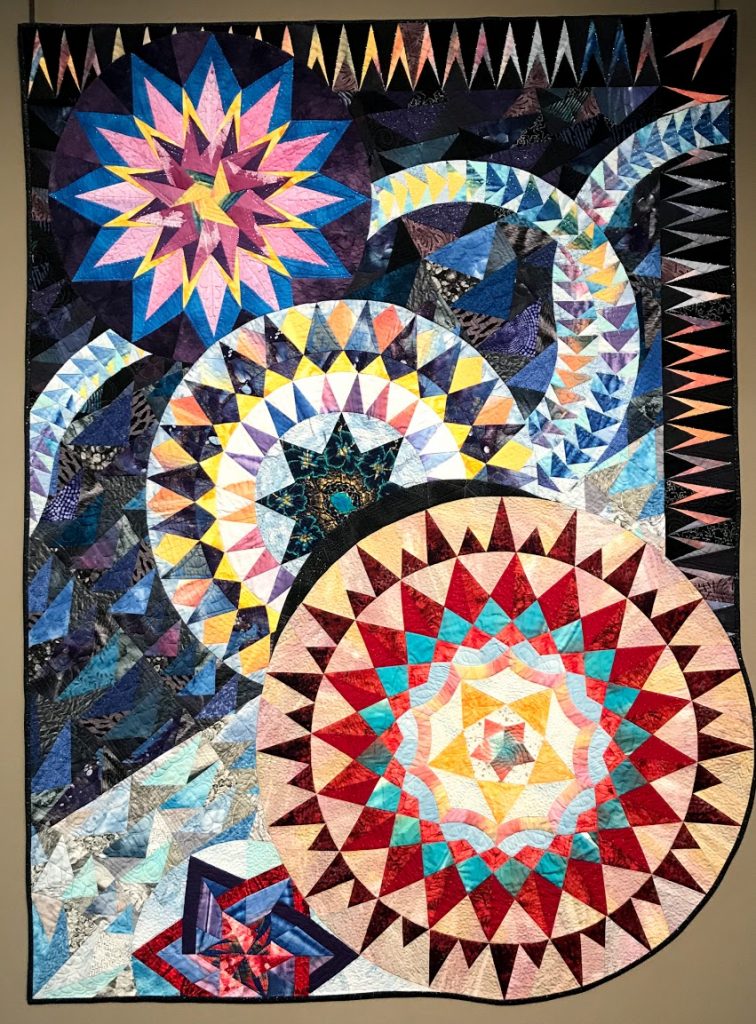
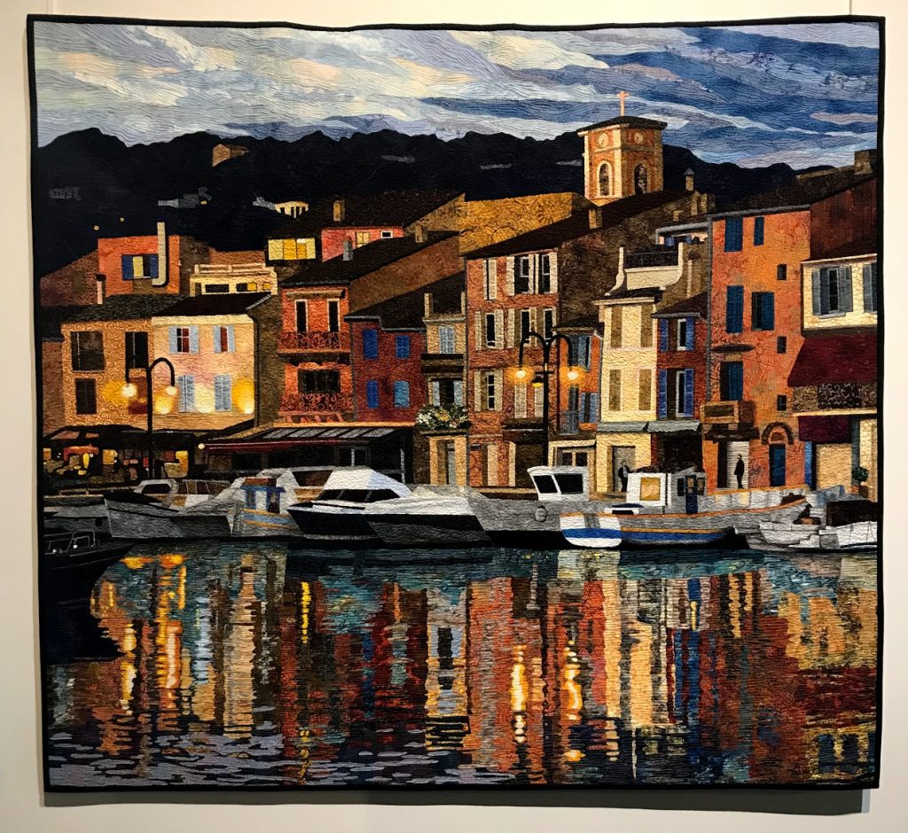
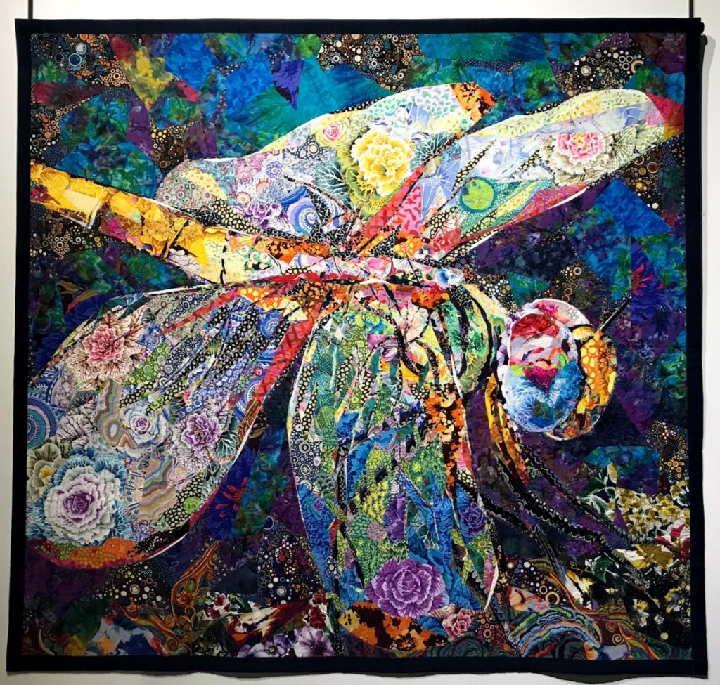
After hitting the farmers market on Saturday morning, we headed on up the Ohio to the junction with the Cumberland River, which will take us down to Barkley Lock and Dam.
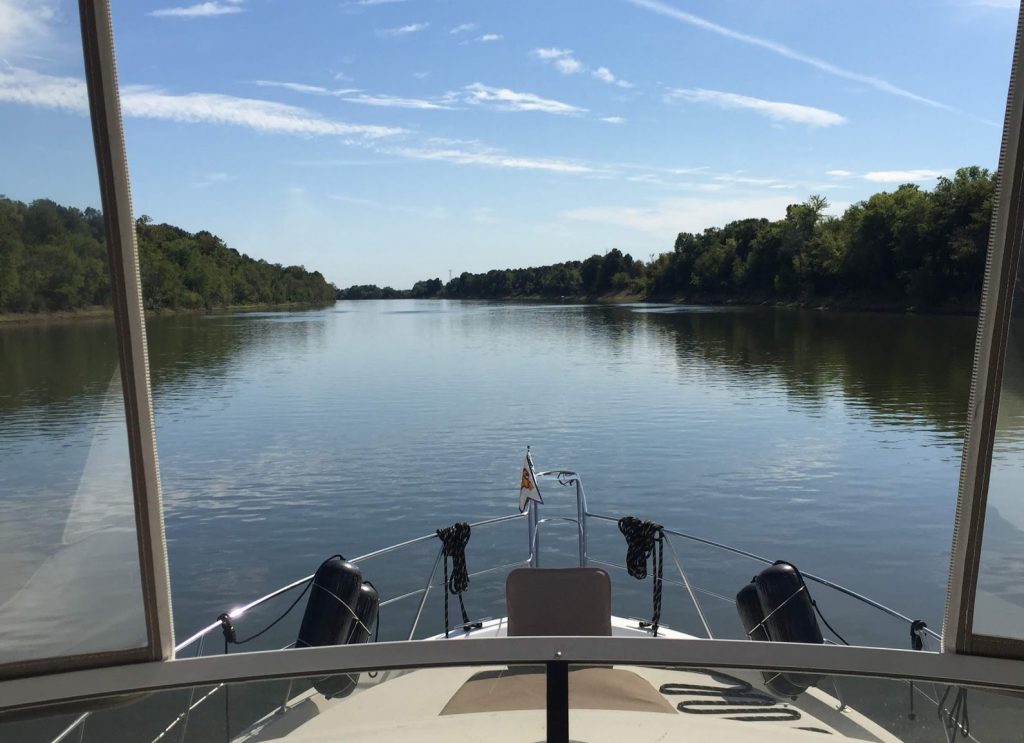
That river stretch was quite narrow and bendy, but thankfully not too busy with tows. In fact, it was downright boring!
At the end of a long, hot afternoon, we continued our ‘lock luck’ by cruising right into an open lock, that already had a little bowrider boat waiting for us, and we locked up 53 feet to Lake Barkley, one side of Kentucky’s famed ‘Land Between the Lakes’ area.
In just a few minutes after exiting the lock, we were docked at the Green Turtle Bay Marina & Resort, ready for some well-earned R&R.