October 19-21, 2019 – After the AGLCA Fall Rendezvous, we and a flotilla of 11 other boats departed for a side trip 250 miles up the Tennessee River to Chattanooga.
We were joined at our first stop, in Huntsville, AL, by Ben’s cousin Alec and his fiancee Lena. Long-time boaters, currently based on the Hudson River near Hyde Park, they were excited to join us to get a taste of the Loop, and experience what was supposed to be a pretty nice leg of the inland rivers. Alec never goes anywhere without his camera, and he took over a thousand pictures in the three days they traveled with us.
Alec with his trusty camera, and Lena, outfitted to help with locking
Heron atop a marker – picture by Alec
Their first leg aboard turned out to be a wet one, with early clouds and then steady rain, but it let up for a smooth locking through Guntersville Lock, and then for docking at Goose Pond Marina. That marina had a twisty, narrow channel to come in from the river, with depths that looked only a foot or two more than our draft. Yikes!
Boats threading the narrow, shallow channel into Goose Pond Marina – picture by Alec
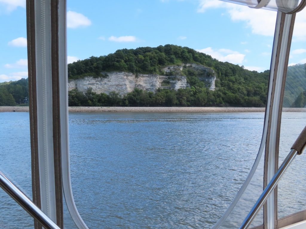
Along the way we saw some beautiful rock formations as the river entered the Cumberland Plateau, plenty of birds, and an amazing number of fishing boats, blasting around in the rain.
Ospreys minding the marker – picture by AlecSnowy egret – picture by AlecHeron catching a ride – picture by AlecHeron rules the roost – picture by AlecLocals bundled up against the rain – picture by AlecBass boat at speed – picture by Alec
We left Goose Pond Marina and traveled next up to Nickajack Lock, plenty more beautiful scenery (and a few bits not so beautiful).
The bridge lit by sun – picture by AlecNow the sun is behind a cloud…grrrrrApproaching the 1000′ tall stack – picture by Alec
After a short wait, at the lock, 10 boats entered with a couple rafted together and up we went.
Boats entering the lock – picture by Alec
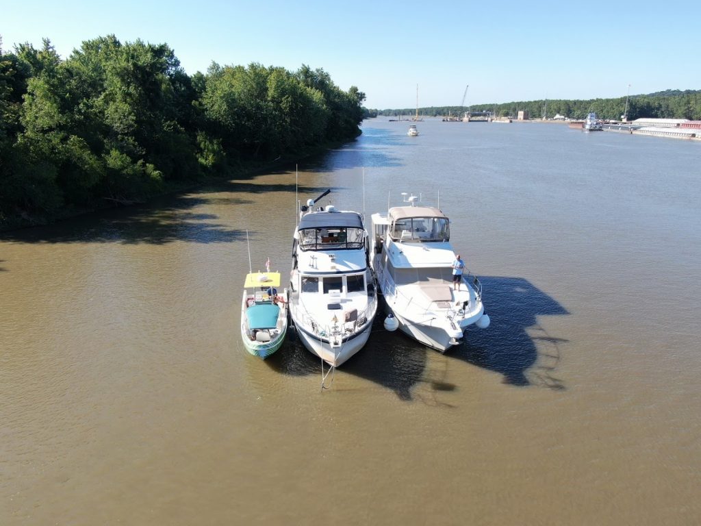
Within a few miles, we turned into the anchorage, and all ten boats anchored rafted to one or two others. We dropped the dinghy to make special delivery of Bushwacker frozen drinks to the other boats, and then Alec and Lena took the dinghy around for some up-close pictures of the cove.
Bushwacker delivery – picture by AlecAt Ease and Spinning Dreams IIIShort Vacation, Patriot and SweetgrassRed Dog, Bunganuc 2, Sea Lord, Jubilee, Miss AdventureThe whole flotilla, anchored at Little Cedar MountainAnchorage scenery – picture by Alec
The next morning we left at first light, ahead of the pack, to get to Chattanooga with as much exploring time as possible- our guests had a 6am flight out the next morning!
Fog in the anchorage – picture by Alec
The hills along the river in this section were really stunning, even with some morning mist in the hills as the sun rose.
Morning fog – picture by AlecMorning fog burning off – picture by AlecOne of many nice places we saw up the river – picture by AlecDetail of downtown Chattanooga drawbridge – picture by Alec
We docked on a long floating dock between two bridges right in downtown Chattanooga, so it was an easy walk up the Riverfront area for lunch at a spot recommended by some locals.
We walked around downtown after lunch, and after looking at the Chattanooga Choo-Choo Hotel, we found a distillery that offered tours and tastings – perfect!
By the time we walked back to the dock, we agreed that it had been a great trip and that we’d better make it an early evening, so Alec and Lena could get up early to make their flight – no late docktails tonght!
September 28 – October 8, 2019 – After treating ourselves to a long 2-week stay at Green Turtle Bay, we headed down Kentucky Lake, planning to overnight in a series of bays in the Land Between the Lakes.
We made several short hops, less than two hours cruising time, to nice anchorages at Pisgah Bay, Vickers Bay, and Clay Bar.
We relaxed, and dropped the dinghy a couple times to explore. At Pisgah Bay, we went around into the Rock Quarry, a popular local party spot. Just a few local boats tied up, and lots of cool graffiti painted on the rock cliffs surround this former quarry over 100′ deep. We forgot our camera, so nothing to show you, except this sunset when we got back to the boat-
Vickers Bay pre-SunsetVickers Bay post-Sunset
Each day was quite hot (over 90), but as the sun went down each evening, it cooled off nicely and made stargazing on the foredeck quite pleasant.
At Vickers Bay, after the sunset we laid out front for over an hour just enjoying the whole cove to ourselves, and seeing a great night sky.
At our third anchorage, we saw quite a display of nature, with two bald eagles fighting, blogged separately.
Finally, though, after the third night, the heat got to us, and we headed to Paris Landing State Park Marina rather than anchoring out a fourth night. Since we were so late in the season, the restaurant at the marina wasn’t open when we were there, but a local restaurant would come pick us up; here’s the limo that came – pretty cool! And good creole food, too…
We then moved down to Pebble Isle Marina; one of their trademarks is that the dockmaster bakes fresh cinnamon rolls each morning and delivers them to the boats. Delicious!
As we move south, up the river, the river narrows, we begin to see rocky shoreline rather than just trees and bushes along the levees. The nature of the boats that we see also changes. A lot more bass boats, and a lot fewer sailboats.
All the water that we are traveling in this section is ‘Kentucky Lake’ so named as it is held back by Kentucky Lock. As part of their management of the waterway, the lake level is reduced by about 5 feet in the winter (to ‘winter pool’). At this marina, they had a concrete marker that shows winter pool (now), where summer pool would normally be, and where the level would be if flooding reached the top of the dam.
Here’s a marina that we didn’t stop at, although their advertising was quite eye-catching. We’re in the bible belt, aren’t we??
Some sections of the shoreline are TVA property, and some are private. We see a lot more vacation homes, and some more ‘rustic’ camping.
Drone view from a nice anchorage
Do you supposed it might flood here? Check out the stilts on these homes!
I guess they aren’t getting much use out of their docks at winter pool water height.
We finally exit Kentucky Lake, at Pickwick Lock, and head into Aqua Yacht Harbor for a few days before continuing on to the AGLCA Rendezvous.
This marina had an interesting phenomenon going on – people would rent (or buy) a large covered slip, much larger than their boat, but then build in a separate ‘patio’. We saw a wide variety, including screen enclosures, patio furniture, refrigerators, smokers and grills, large screen TVs, heaters and fans, and carpets. Quite the weekend place to hang out!
September 30, 2019 – Our third stop coming down Kentucky Lake was at the Clay Bar anchorage. “Look for the bald eagle nest on the south shore”, the review said.
We didn’t go all the way back in, because we wanted to catch some of the southwest breeze on what was projected to be a mid-90s day, but as we dropped the anchor, Chantale had already seen a bald eagle overhead. As we scanned the treeline with binoculars, we saw two adults sitting at opposite ends of the cove; within a half hour, they were perched together. Wow, what a sight!
We saw some juveniles, lacking the adults’ white head and tail feathers and yellow beak, flying in circles, practicing, we imagined. Catching a thermal, one was followed by an adult, higher and higher, and they disappeared over the ridge.
In mid-afternoon, I saw one flying low past the boat, with a commotion in the water behind him. His talons were empty, an unusual sight. We’d seen several bald eagles taking fish from the rivers before, and it seemed they never missed. He swooped up to land in a tree on the south bank. Soon an adult flew the length of the creek, with a raucous exchange, that continued as they both headed further into the woods.
A bit later, what looked like an adult, or a more mature juvenile (they take about four years to gain their full adult coloration), swooped out of the northern side, down to the water–maybe we’d see him get a fish! But instead he landed at the waters edge of a small rocky point. We watched as he dipped and drank from the lake, and stood there still, looking to each side. Ben stood by with the camera, looking for a good shot of him taking flight.
Suddenly, the flash of another, swooping in toward the first. Wham! A whirlwind of water, feathers, beaks and talons accompanied by shrieks…
Chantale even shouted “Stop it!”, and went below – she couldn’t bear to watch.
They continued to thrash for several minutes, well past when it seemed that one would yield, and a victor be declared. Then they lay, entangled and spent, on the rocky edge of the water, on the slimy rocks; they were completely still, beaks open and silent, for a full twenty minutes.
Another 30-second thrashing, talons intertwined, wings beating the other. Another half hour, motionless. ‘Do you yield?’ ‘Never’
And again, back into the water, neither releasing the other, seemingly intent on twisting his opponent under the water, wings beating the other’s head. Again they lay in the water, bedraggled, their feathers picking up the algae stains from the rocks. At least it offered some respite from the brutal 95 degree heat, to be soaking wet.
Then I noticed above, buzzards beginning to circle – first a couple, then a total of seven; interested perhaps, in whether this fight was truly to the death. Then an eighth, but with the bright white head and tail of a mature adult eagle, came to circle the pair on the ground, and as he circled and rose, the buzzards went higher and higher, and eventually went looking elsewhere.
The pair alternated between laying inert, staring at each other, for long stretches, and then mightily thrashing, neither relenting his grasp on the other.
What was it about? Did one think the other had something he wanted? Was one an outsider, and the other defending his territory? For a mate? Sibling rivalry? Young male challenging an elder?
Apparently it was something worth dying for; as the standoff continued into its second hour, the buzzards returned, only to be escorted away once again by the adult eagle, who must have been surveying the scene from a perch high in the trees.
Finally, after more than two hours from the initial assault, the two birds separated. One splashed around in the water, raised and shook his wings a few times to dry, and within 10 minutes, took off to the other side of the cove.
The second combatant had hopped up into the woods, and later could be seen stretching his wings, but as the sun set, he stayed in place, watching as an adult and baby raccoon came to prowl the water’s edge. We didn’t see him the next morning – we hope that he was able to return to flight.
It’s easy to project a calm but fierce nobility onto our national symbol. However, it was downright unpleasant to watch two proud specimens go at it in such an ugly fashion, talons into the other, neither relenting, or backing off to settle their difference in more civilized fashion. This is real life, I guess.
September 15-27, 2019 – “It’s time to go. I’m ready to move the boat”
When we pulled out of Barkley Lock, and into Green Turtle Bay Resort, we were ready for a break. We had been fortunate and timely with our decisions to move when we did, down Lake Michigan to Chicago, and then down the rivers, and as a result had some slack in the schedule that has us zeroing in on Rogersville, Alabama for the AGLCA Fall Rendezvous.
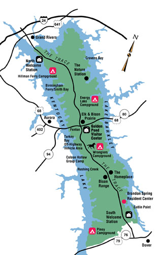
GTB, as we had heard it termed for all the years we’d been thinking about the loop, is sort of a must-stop, and it truly was a crossroads for all the Loopers coming through, some of whom would continue down the Cumberland River, along Lake Barkley and beyond, to Nashville. Others would, as in our case, cross over to the Kentucky Lake, and follow the Tennessee River south.
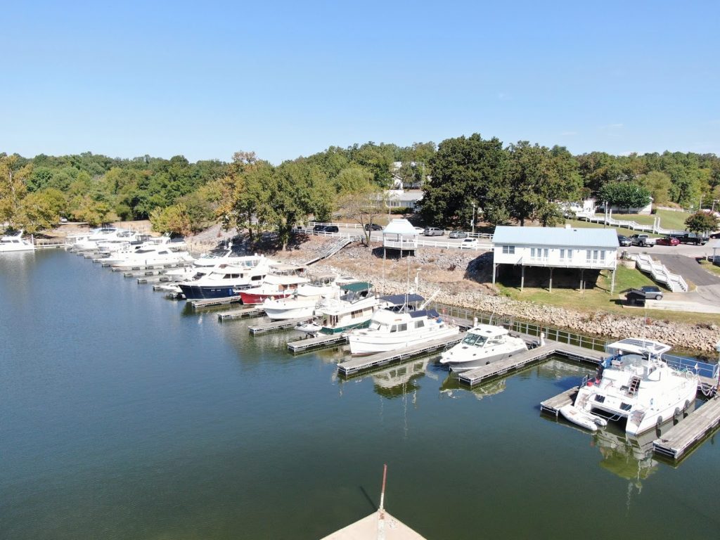
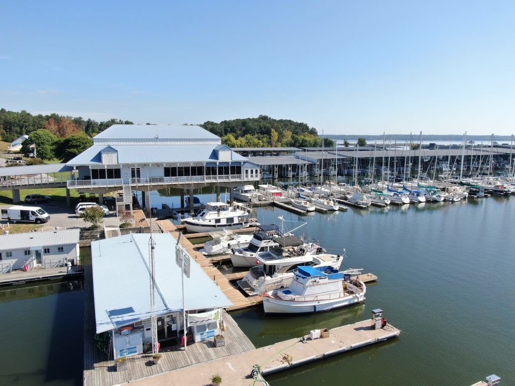
The long row of longer slips, with some of the boats that were there during our stay. Every day, some came, some left.default
It had a pool – three pools as a matter of fact. A courtesy car – two in fact. And a cute little golf-cart shuttle that would take you anywhere around the resort or the town. A waterfront pub (The Thirsty Turtle, naturally).
Naturalist-approved
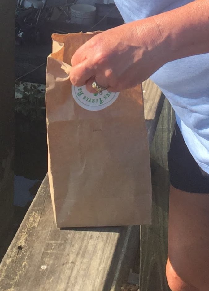
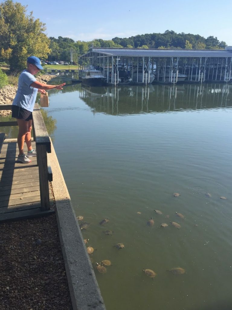
It turns out that they actually had turtles, and they even sold bags of turtle food in the marina store, where we checked into. Suckers…we bought some – and found out later that they like rice crispies or cheerios, too. Just as well – we don’t have any cheap cereal on board.
At the “official” turtle feeding station…
The nearby town, Grand Rivers, had a couple well-known institutions – Patti’s 1880s Settlement, and the Badgett Playhouse. The former had suffered a fire in their main restaurant, which is under construction and due to reopen in November. We attended a great show, The Sounds of Memphis, at the Playhouse with new friends from Joy Girl, that we all agreed was absolutely top rate. And the resort shuttle even ran us over there in their golf-cart limo!
We will later traverse the Kentucky Lake side of the park, and stay in some of the many coves that result from the contours of the land that was flooded when the Tennessee Valley Authority dammed the Cumberland and Tennessee Rivers.
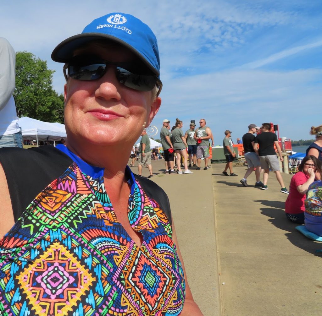
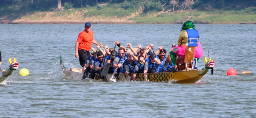
We had enjoyed Paducah when we made a short stop there on our way up the Ohio River, and went back several days over the weekend, shopping for necessities, getting some barbeque, and attending their annual dragonboat races.
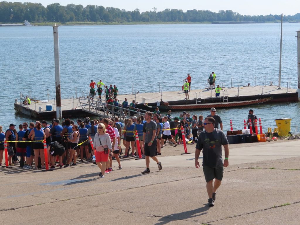
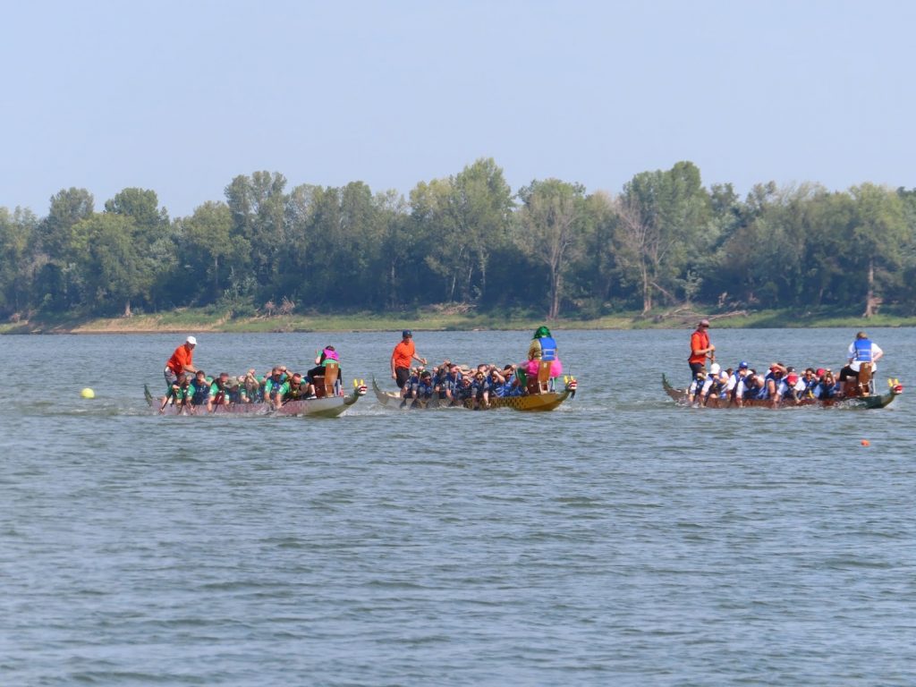
It was set up as a charity event, with teams that had raised money facing off in 3-boat heats, for prizes. The organizers provided the boats & equipment, so no prior experience was required. Quite a crowd gathered along the waterfront (outside the floodwall) to watch.
Contestants lined up, with paddles and vests, to board the boats. Each team had to have a certain number of female paddlers.The steering oarsmen were ‘professionals’, but the other participants, including the drummer sitting at the bow, were from the various teams.The action was pretty frenzied – this shot shows why they are called dragon boats.
For the live action…
We walked, swam, did laundry, boat projects, met dozens of new Loopers.
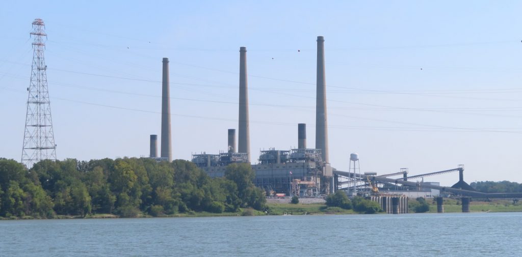
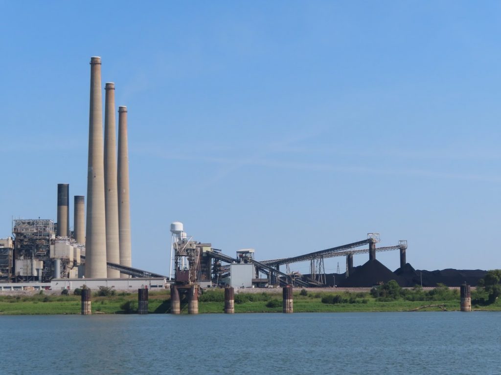
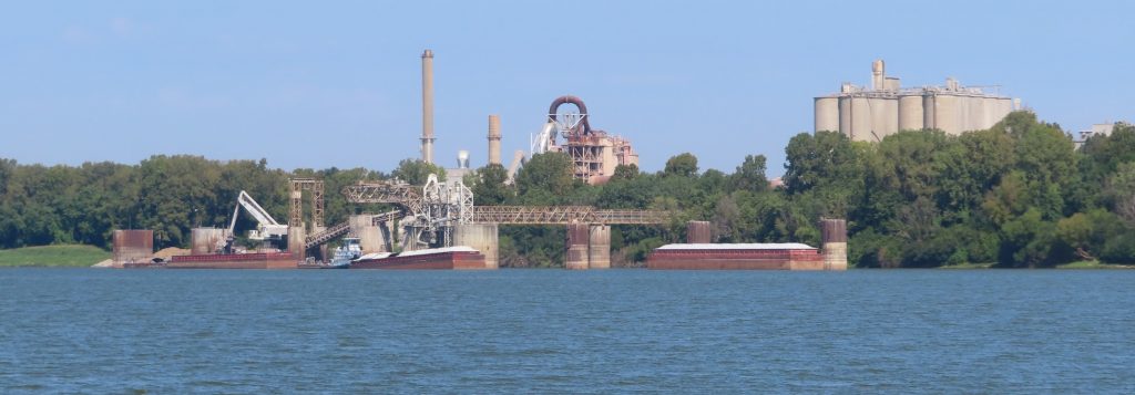
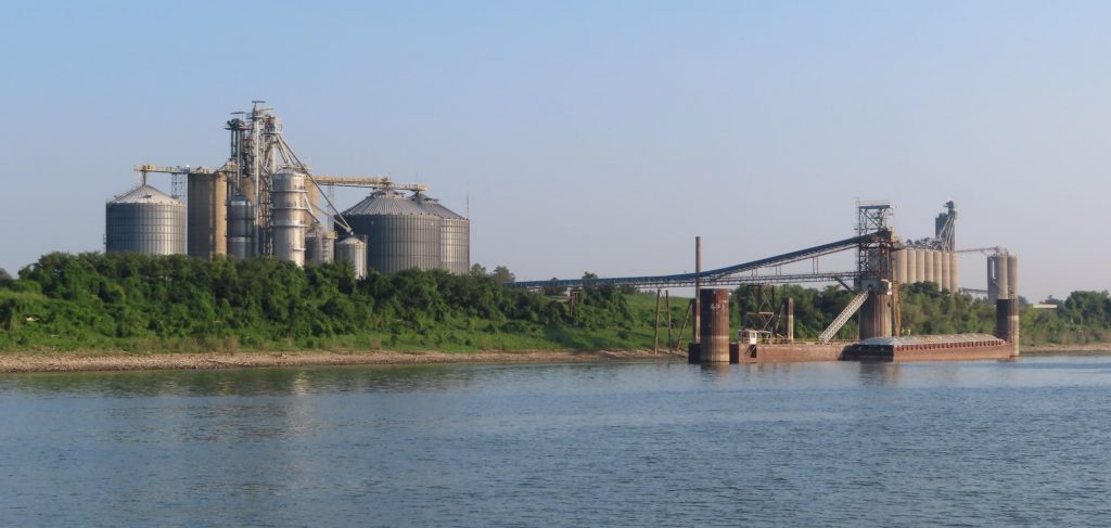
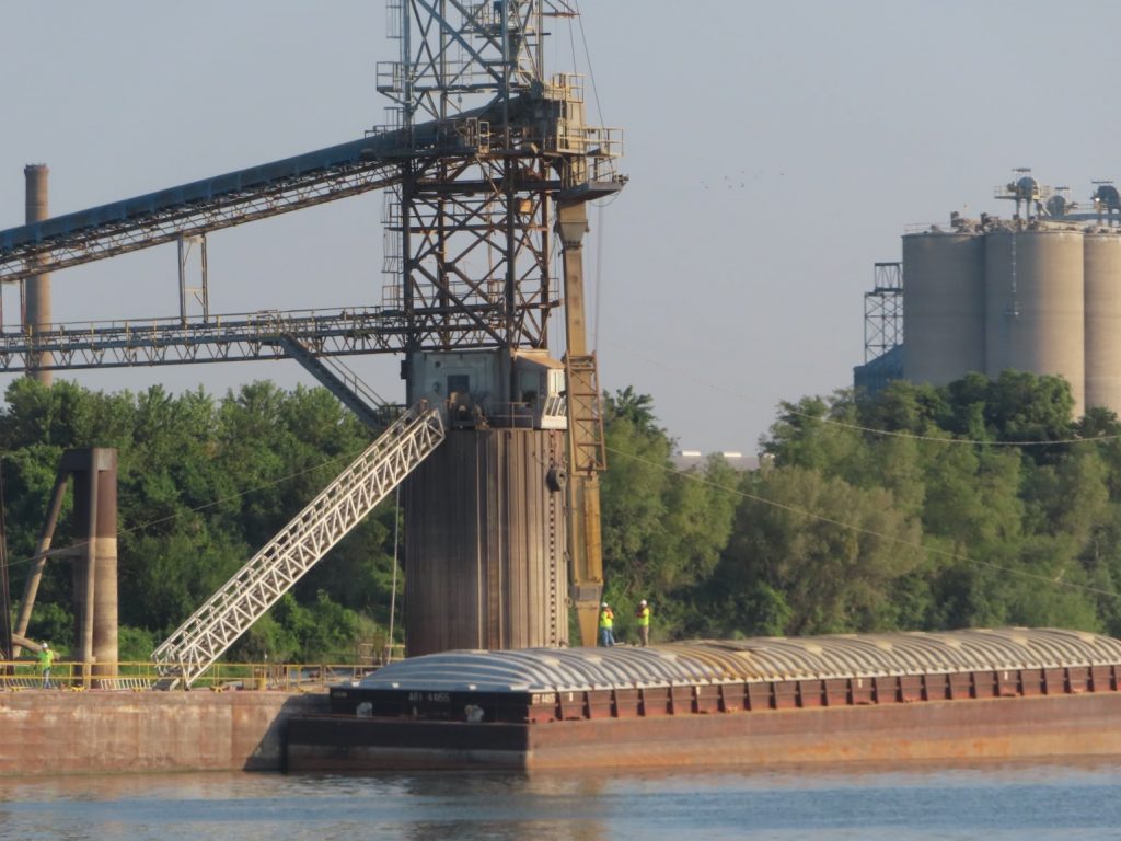
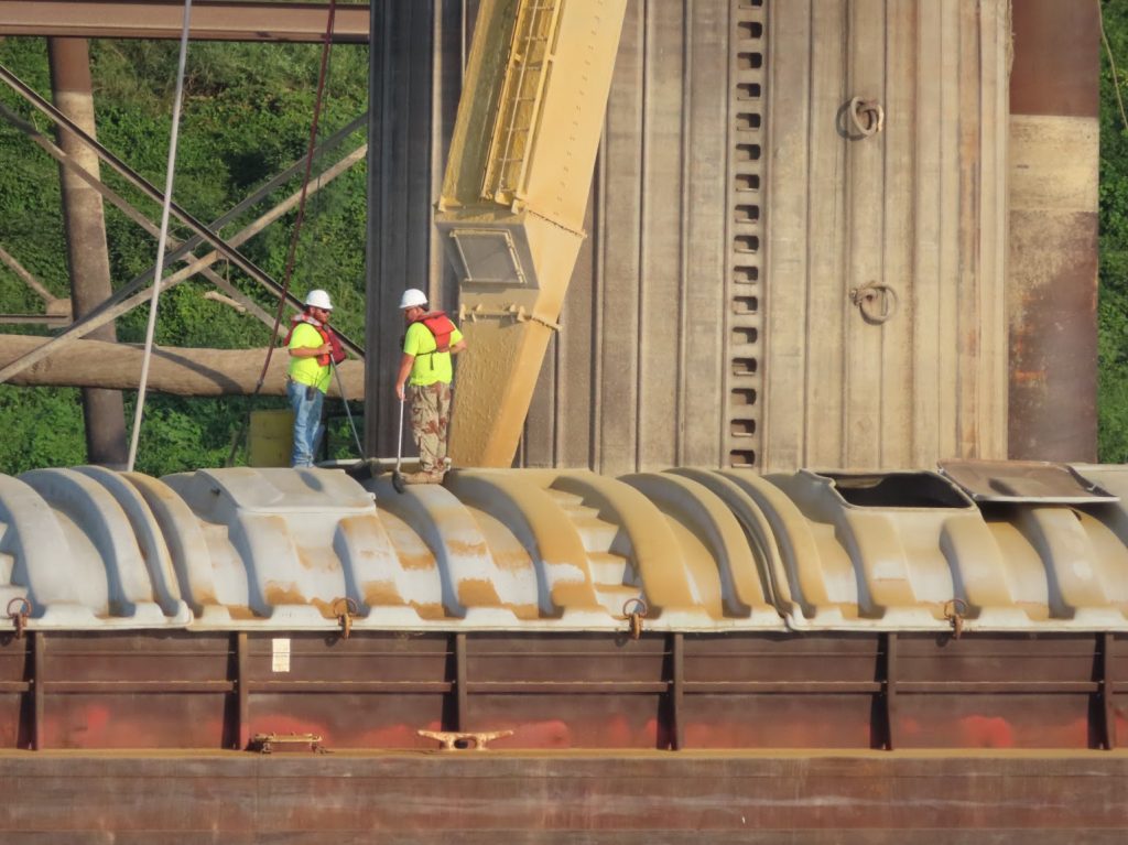
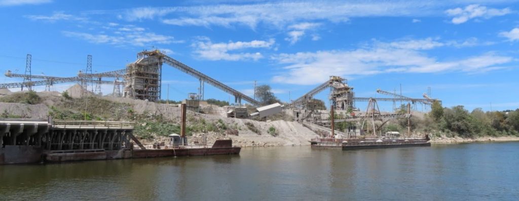
September 13-14, 2019 – It has really been eye-opening to see the mammoth scale of the commerce conducted on, and alongside, the river system. There are some bucolic stretches, but then around a bend are coal-processing plants, or mining operations, or refineries, or grain elevators, powerplants, and support facilities for barges.
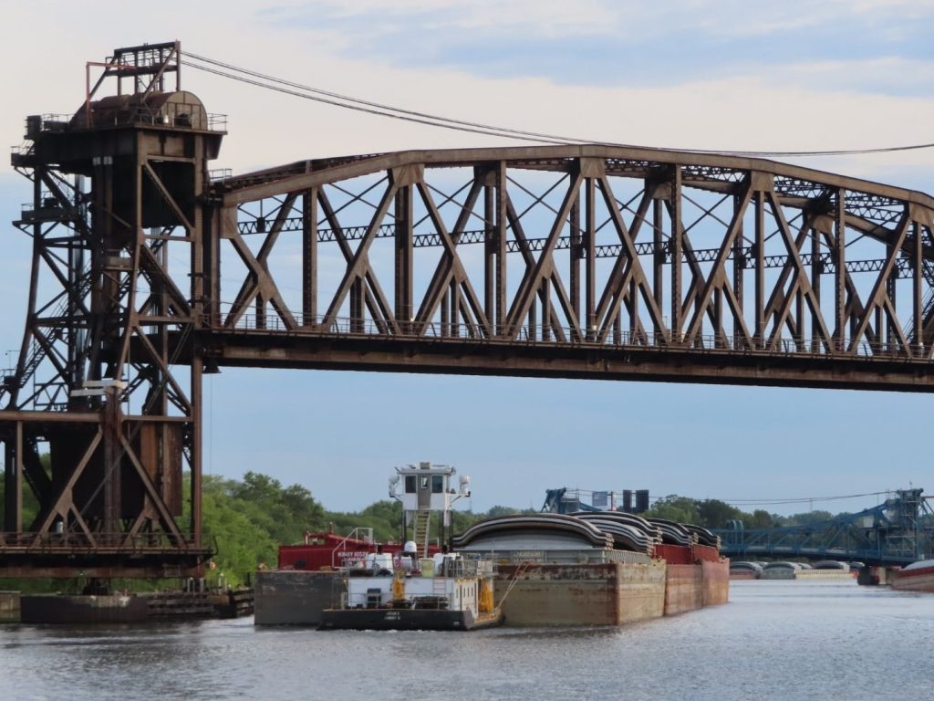
And barges, barges, and more barges. Parked along the banks, or anchored in the river. Big tows, medium tows, tugboats. We keep the binoculars handy, to make sure we can spot whether they are stationary, or moving, and their relationship to the navigation markers denoting the safe channel. (We could probably stray outside the shipping channel a bit, as far as depth is concerned, but almost never do.) The chartplotter screen sometimes was thick with the icons for tows, with 90% sitting still, but a few moving about, or underway, especially around major junctions that are staging areas for taking one river or the other, or where goods are loaded or unloaded onto the barges.
The area where the Ohio River joins the Mississippi is one of those areas; the miles and miles of staged barges are hard to capture in pictures, but here are some of the shore facilities.
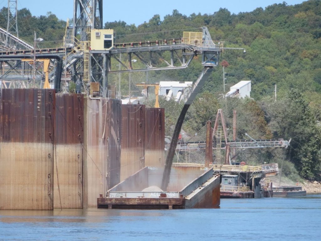
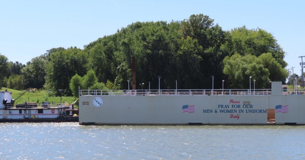
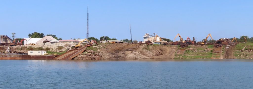
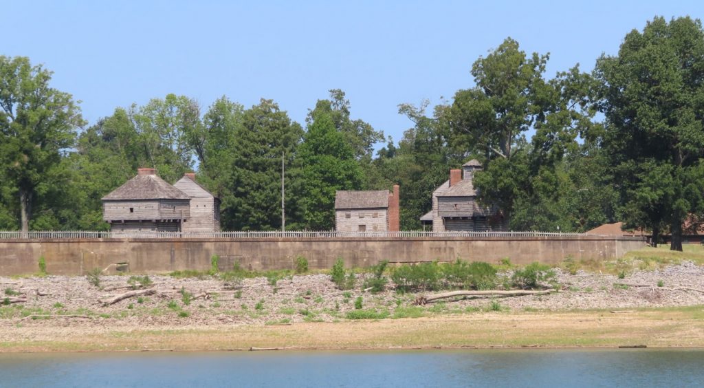
Big grain elevator complexIn a bit – they will load ~1500 tons on this bargeZooming in further; based on the yellow dust, I’d say they are loading cornA gigantic stone products siteNotice how the barge sinks down on the end they are loading; the entire barge once loaded will have a draft of about 9-10 feetA lot of patriotism in the heartland. Lots of Trump flags flying, too.Where old barges go to dieThis just popped up along the bank. Later we found out it was Fort Massac (or Fort Massiac), a French colonial and early National-era fort on the Ohio River in Massac County, Illinois, United States. Its site was listed on the National Register of Historic Places in 1971. (see Wikipedia article)
On the way up the Ohio, we pass through Olmsted Lock, just completed last year, to replace Locks 52 and 53, that were dated and very problematic. Those locks are still undergoing destruction; we were told that they sometimes shut down the river traffic for up to four hours to allow blasting of the old structure. Fortunately, we were able to pass on by without delay.
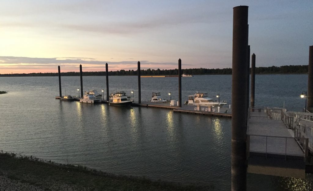
We stopped at Paducah to overnight on their municipal transient dock. Their old one was destroyed in a flood, and they built this one to make sure it didn’t happen again. This picture from the top of the bank gives an idea of how high the pilings are to allow the dock to rise.
We were the first boat to the dock at mid-day, but by nightfall we were joined by 6 other boats
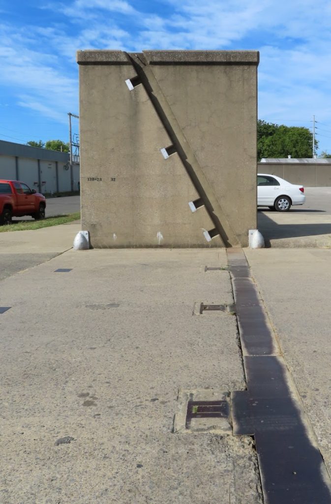
Walking from the dock to town, we encounter another protective floodwall, that encircled the town; there is a slanted ‘gate’ that would be elevated up the notched track, under flood conditions to make a further 15-20 feet of protection to the city.
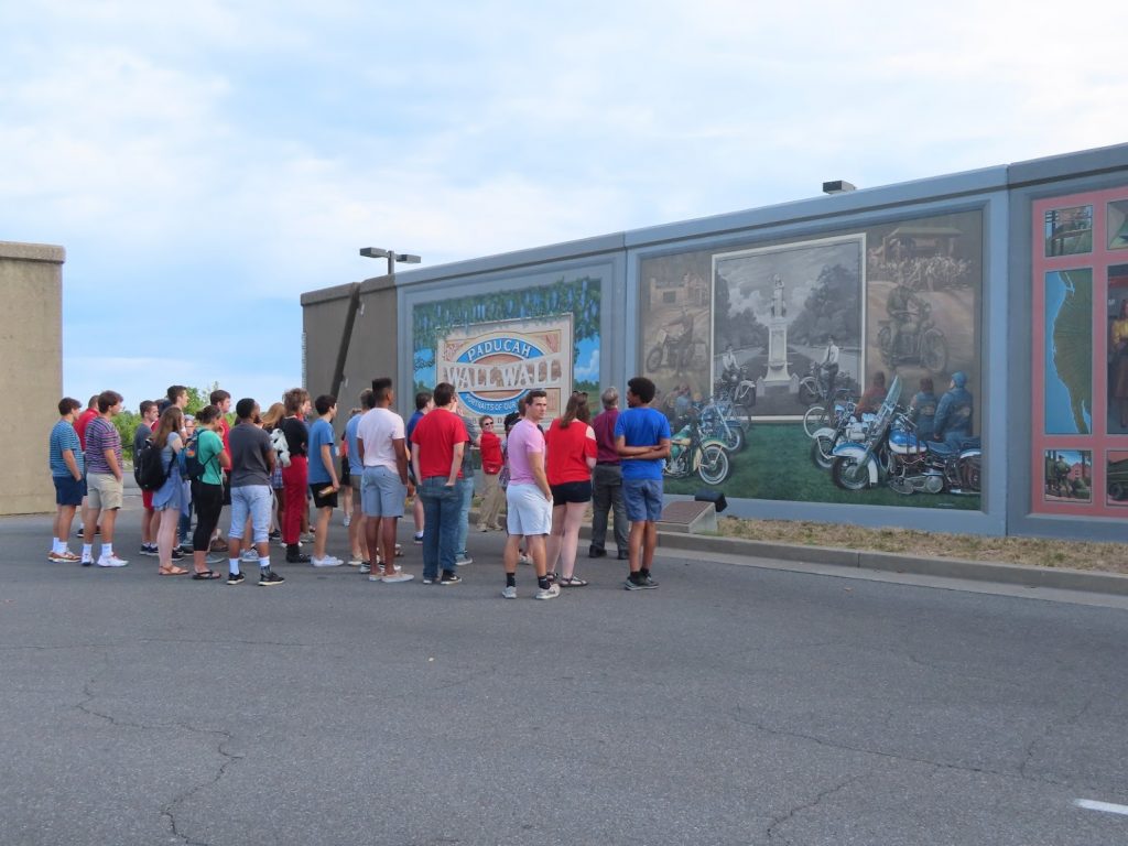
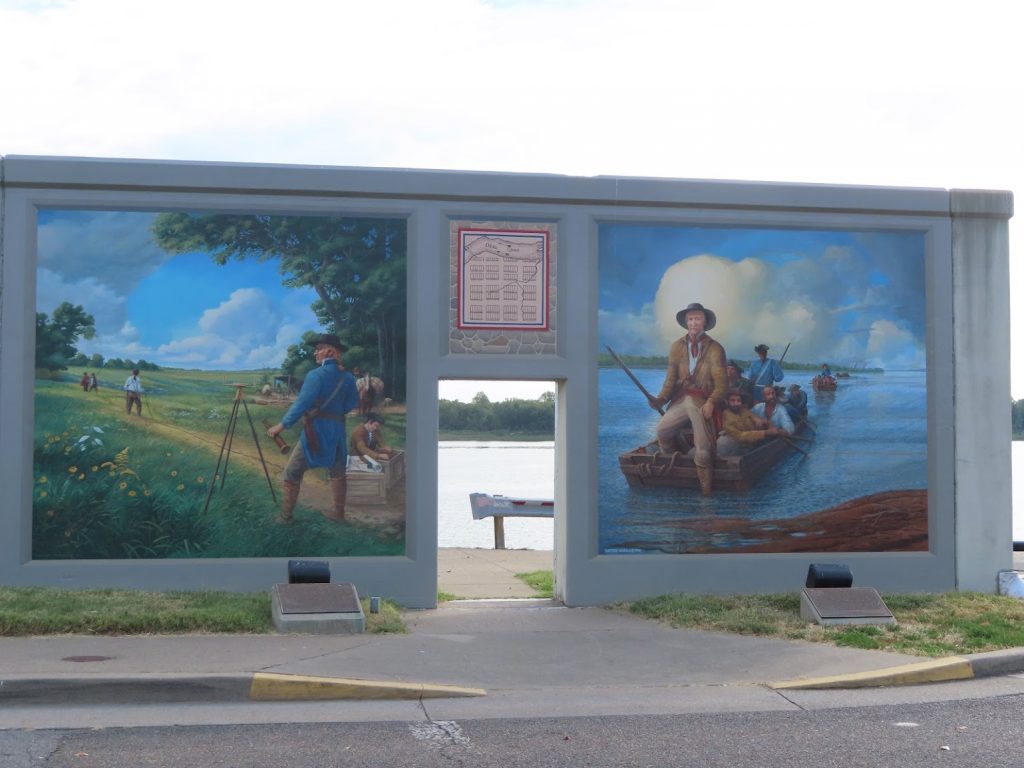
On the inside of the wall, there is a long stretch of beautiful historic murals, with various scenes from their history. Very nicely done, and informative.
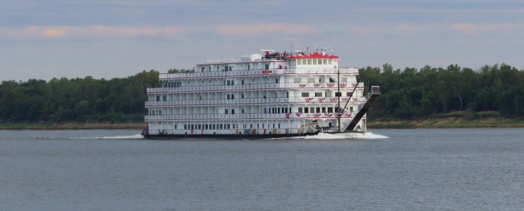
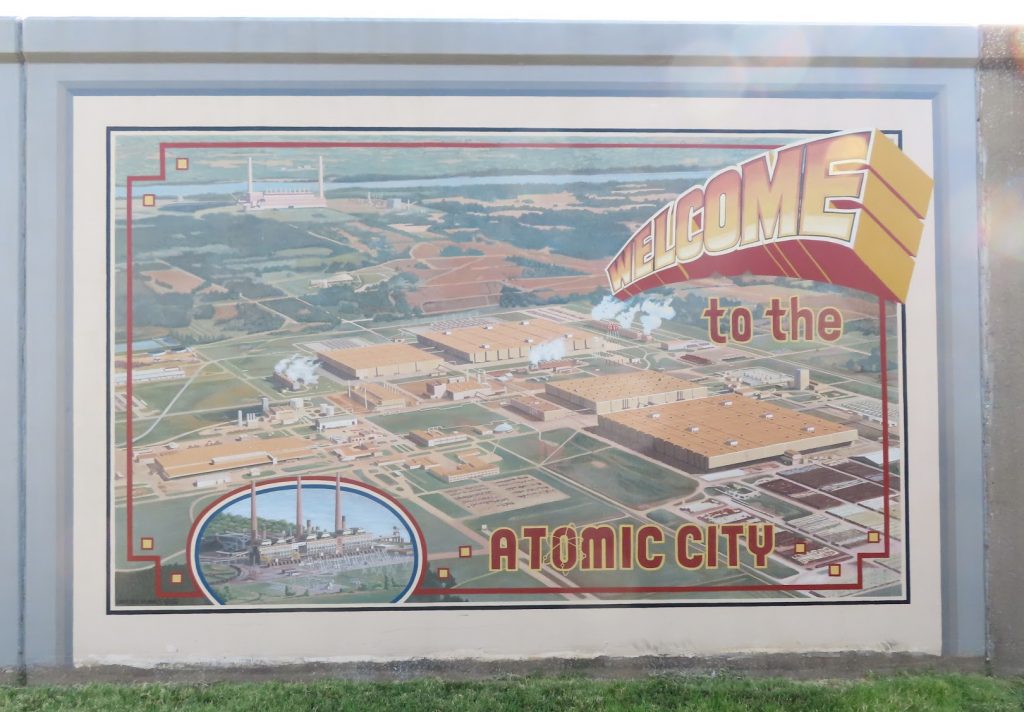
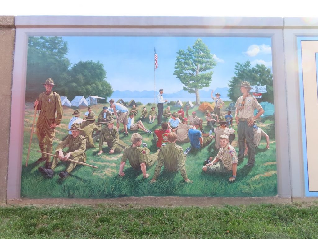
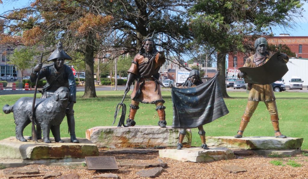
They bring ’em in by the busload to see the murals. Quite literally……and by riverboat. This docked while we were thereIn 1951, a gaseous diffusion plant was built in Paducah to enrich uranium. It remains the only place in the US that produces enriched uranium to support the global nuclear power industry.The Boy Scouts of America was founded in 1910; that same year, Troop 1 was started in Paducah at the Grace Episcopal Church, and has been continuously active since. The mural depicts a 1915 photograph from a campout at Mammoth Caves, but with all the various uniforms through the years on the scouts and leaders.They are very big on Lewis and Clark here, with multiple murals……and a statue in the town park. After the expedition, Merriweather Clark’s younger brother, William, returned to found Paducah and the surrounding county.
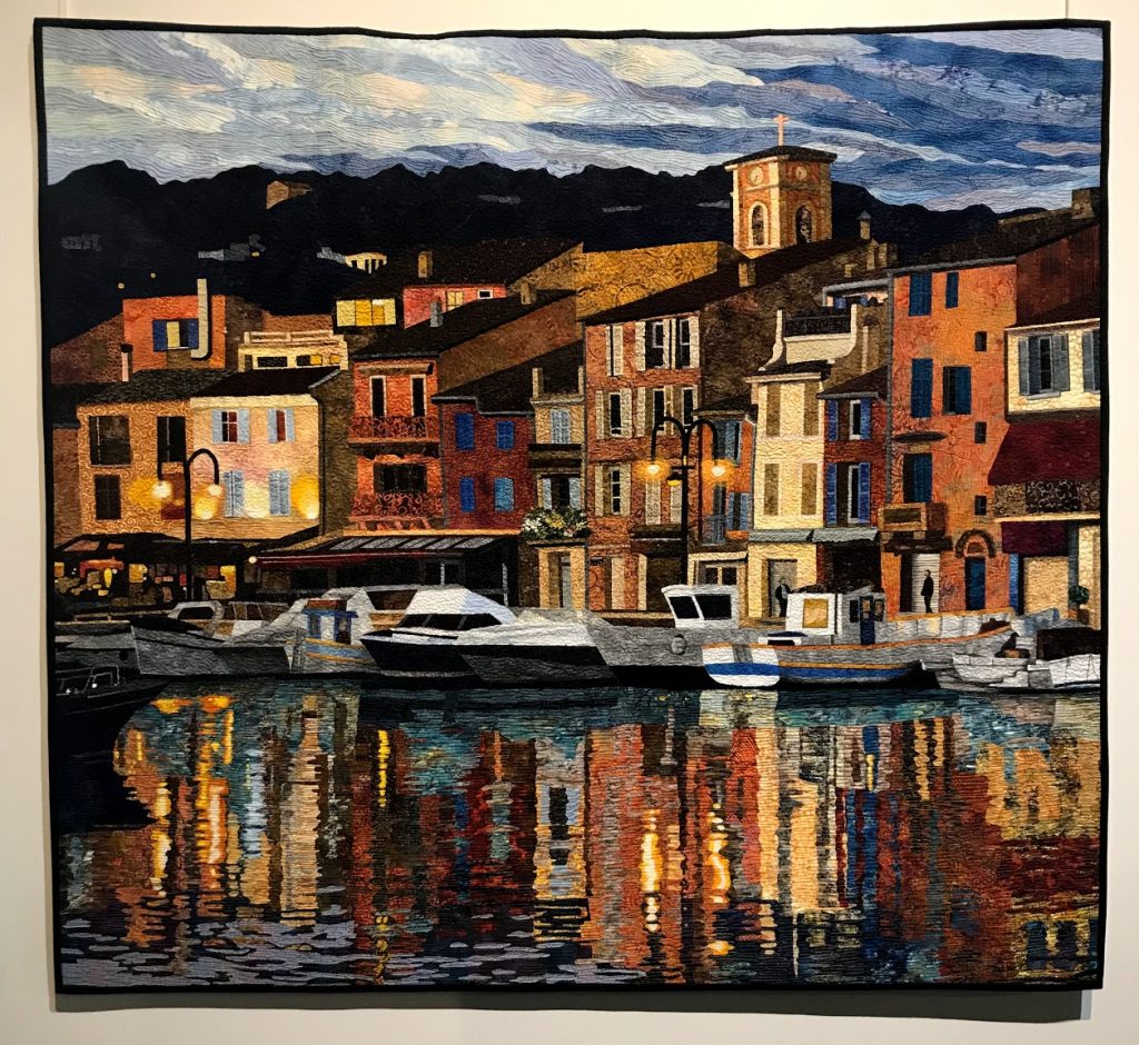
Paducah is also home to the National Quilt Museum; since Ben’s mom is an avid and accomplished quilter, we went to see what was on display there. It was quite fascinating to see not only traditional quilts, but very avant garde and artistic work as well. Here are just a few:
After hitting the farmers market on Saturday morning, we headed on up the Ohio to the junction with the Cumberland River, which will take us down to Barkley Lock and Dam.
That river stretch was quite narrow and bendy, but thankfully not too busy with tows. In fact, it was downright boring!
At the end of a long, hot afternoon, we continued our ‘lock luck’ by cruising right into an open lock, that already had a little bowrider boat waiting for us, and we locked up 53 feet to Lake Barkley, one side of Kentucky’s famed ‘Land Between the Lakes’ area.
In just a few minutes after exiting the lock, we were docked at the Green Turtle Bay Marina & Resort, ready for some well-earned R&R.
September 5-12, 2019 – When we left Mel’s Riverdock Restaurant dock, The Lower Place led us all the way down the rest of the Illinois River, and on to Alton, IL, a short distance past the confluence of the Illinois and Mississippi rivers.
The navigable Mississippi River runs, in total, 1700 miles from Minneapolis, MN to New Orleans. We will run just 218 miles of the Upper Mississippi, before turning up the Ohio River at Cairo, IL. The 855 miles of the river past that point is called the Lower Mississippi.
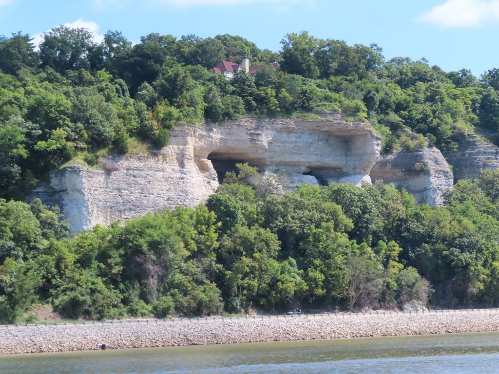
As we end up our trip down the Illinois, the terrain along the river starts to change, and we see high treed hills, some with nice homes overlooking the river. When we turn onto the Mississippi, in addition to many, many barges anchored along the shore, we see high stone bluffs towering over the riverside highway.
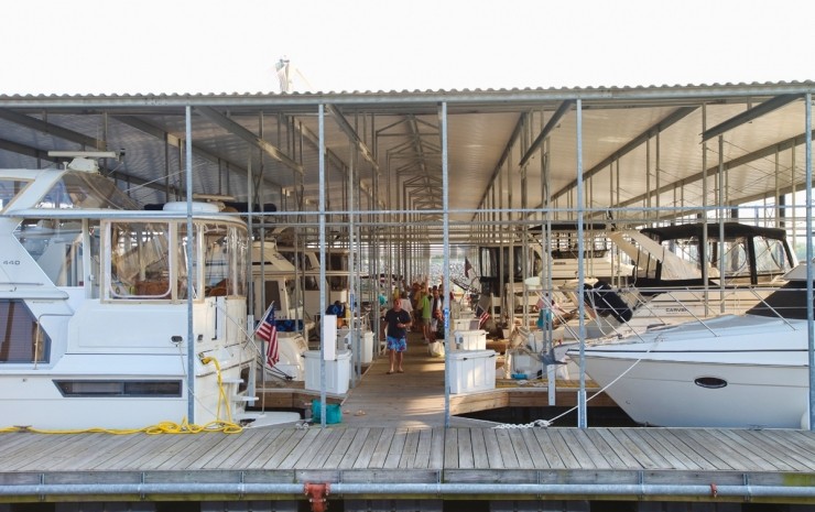
After just 15 miles on the Mississippi, we pull over at Alton, IL, to a very nice municipal marina. Many of the docks are covered, under huge floating sheds, but we are placed in an uncovered slip. Oh well. The shade would have been nice, we found out later.
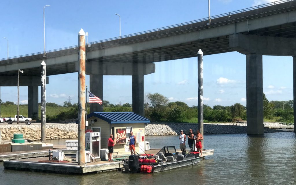
The whole marina complex – office, store, restrooms, even the pool (!) is floating, so that as the river undergoes the ferocious flooding it is known for, the whole place just rises up. Note the tall steel pilings in this shot of the fuel dock, taken for the hilarious group of bro’s all standing with drinks while they fueled about a dozen extra fuel cans for their fishing boat.
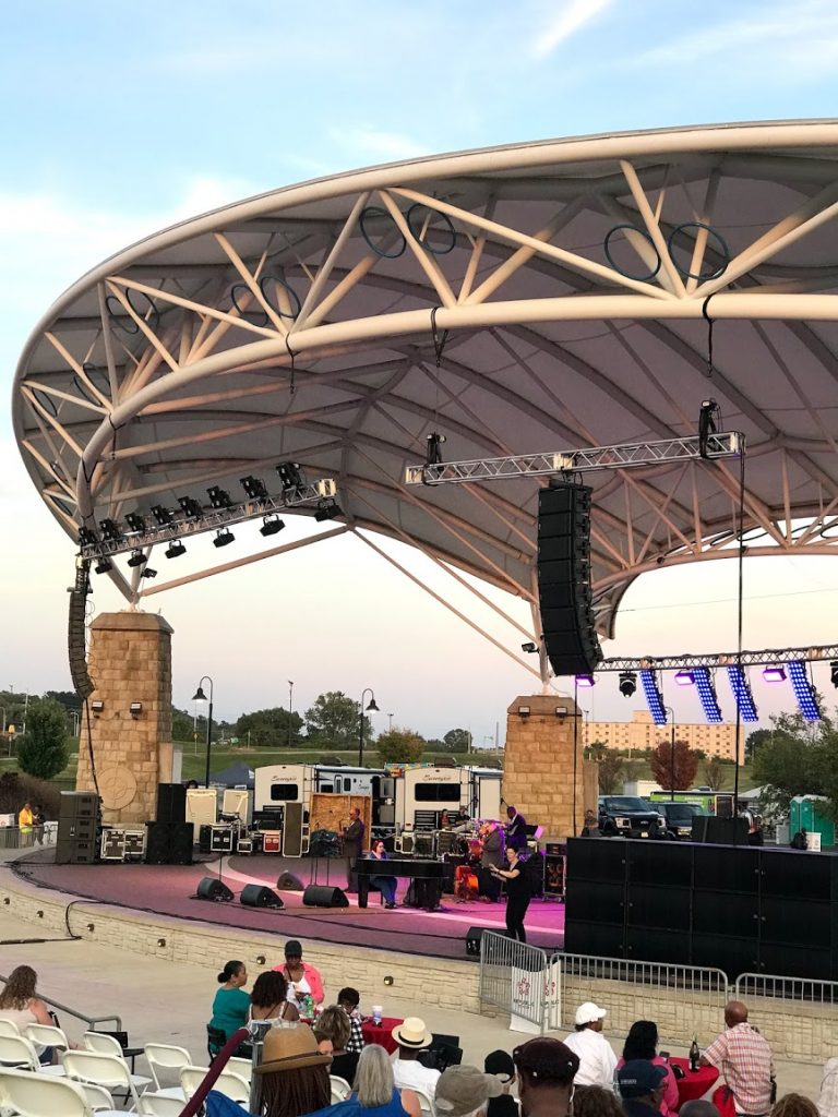
Jazz and wine festival at the Alton riverfront arena
The marina had a special deal (buy 3 nights, stay 3 more for free), which we decide to take advantage of since we are a few days ahead of our plan. We get caught up on laundry and some other boat projects, sample some of the local food, and music, and even rent a car to make a few shopping stops around time. Finally, it’s time to head on down the river.
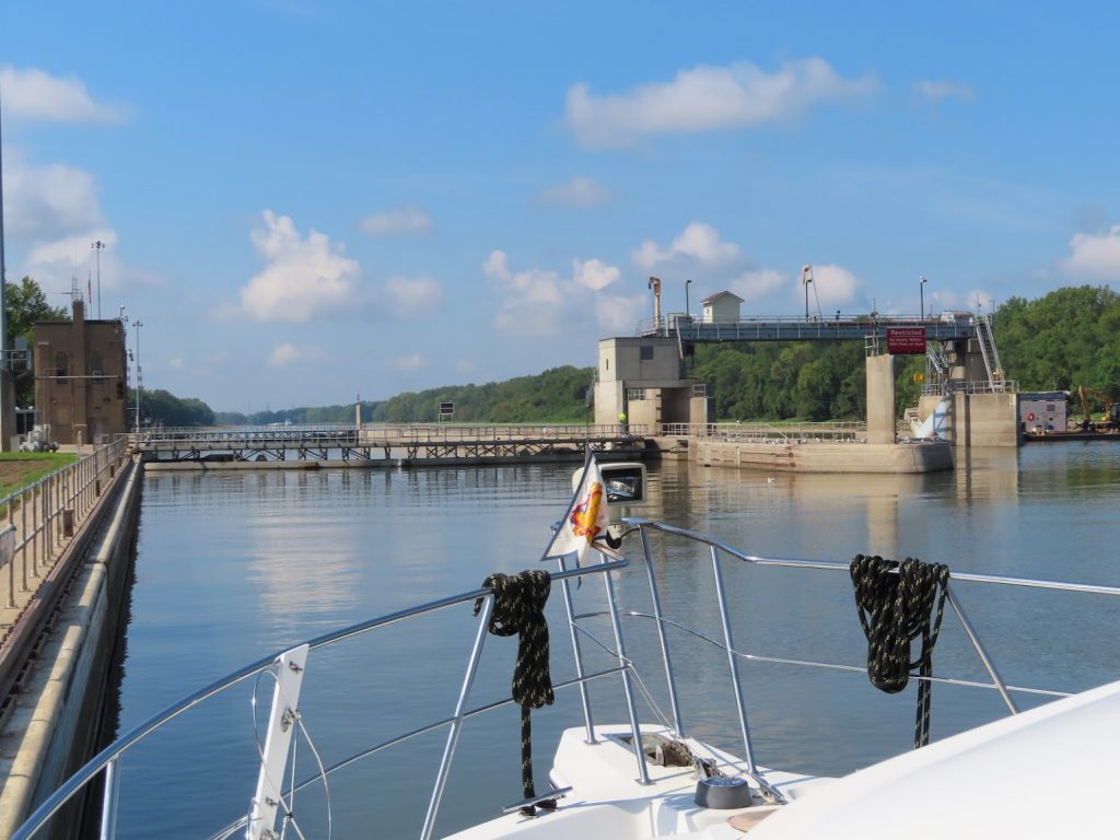
There are two locks that we will need to go through today; the first, Mel Price Lock, we can literally see right from our slip, so we call the lockmaster at 6:00, and tell him that we are preparing to leave the marina at 6:15. He told us that he’d get the lock ready for us – ‘come on’. So we shoved off at first light, and motored the 10 minutes over, to cruise right into the waiting chamber; down we went. One down, one to go…
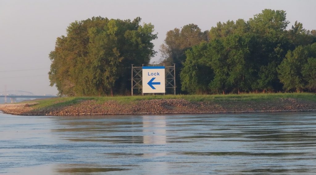
No doubt about which way to go!
The next lock, Chain of Rocks Lock, is on a side canal that bypasses a lengthy area of rapids. When coming down the river, there is a huge sign to make sure that nobody goes the wrong way! We passed a tow a few miles before the lock, and figured that he might get locked before us anyway; but this lock has two chambers, and the lockmaster put us right in one of them and took us right down, intending to bring down the larger tow in the other chamber when he got there. So just a few hours into the day, and we’d experienced no waits at locks at all!
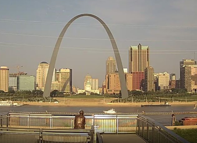
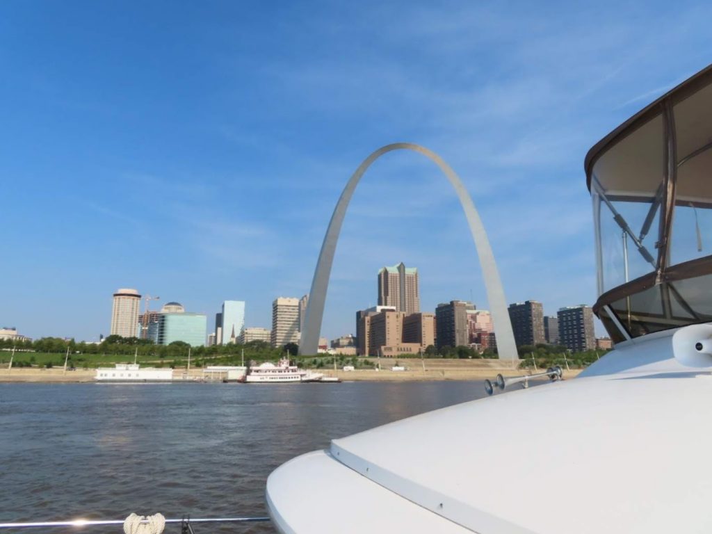
Within just a few miles, we are coming past St. Louis, and see the arch. Ben calls up a webcam that shows the arch, in hopes of getting a screen grab of us crossing in front of the arch – got it!
Meanwhile, Chantale is busy with our camera, and gets some great pictures; pretty quickly it’s behind us. Amazingly, there are no waterfront facilities to stop in St. Louis for recreational boaters.
Now it’s just running downstream, following the correct channel, avoiding debris, and communicating with the big tows over how we should position ourselves in the channel, based primarily on how they need to angle their loads around the bends in the river. We passed one that had a load that was four barges wide (170′) by four barges long (800′) at the front, PLUS a rear part that was 6 barges wide (210′) by three barges long (600′), so a total of 1400 feet long ! So we better make sure that we are in the correct spot when he comes around the corner. We can see the front corner of his load minutes before we can actually see his elevated helm at the very back. But he can see our exact position from the AIS, and we work out on the radio how to pass. Here’s a bit of how that sounds between two tow captains. (We have had to calibrate our ‘listening muscles’ to make sure we get it all…)
The Mississippi, once unchained of the locks and dams, is a beast!
It roils and spins, shaped by wing dams and bending wiers, that are man’s attempts to keep it flowing in it’s channel. It carries along big logs and other debris. It adds 5 or 6, or even 7 mph to our speed, and fights against the mighty tows pushing the barges upstream. Their wakes throw huge waves, and the props cause eddies that can spin our boat sideways in an instant. We have to be alert for a half mile after passing one, for areas of the water that can grab the boat.
It is hard to convey, even in pictures, just how much the river moves. It doesn’t just flow, like other rivers we have been on; the surface continually swirls, upwelling from the bottom, causing lumps and hollows. They seem like they might be water churning over a shallow shoal, but the water is 50 or 60 feet deep, and still angry.
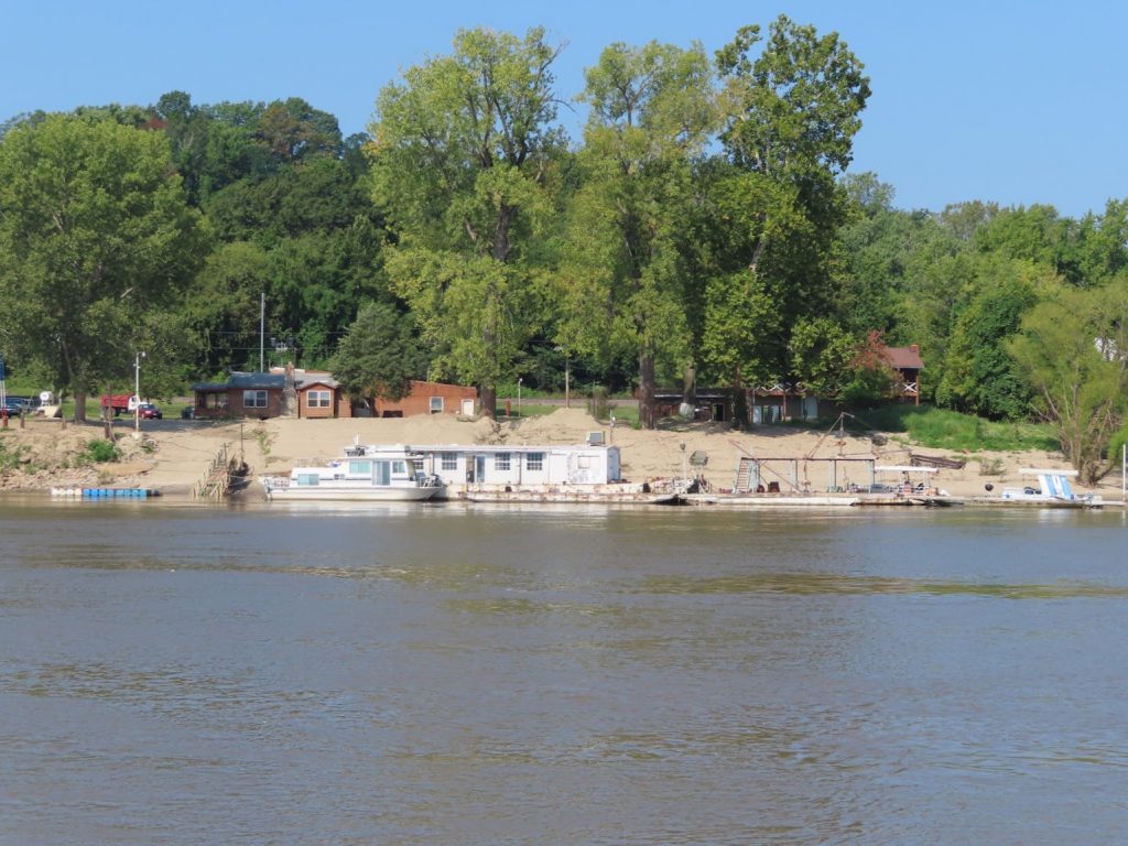
We push 83 miles down the river, bypassing Hoppies Marina, a place that has been part of Looper lore for decades; a couple sunken barges for docks, it was once a key fuel stop, and prized for the local knowledge conveyed by its proprietor to boaters heading down the river. In the last year or two, floods have reduced the scale of the operation, taking out some docks and the fuel capability. We didn’t need to stop, and wanted to just get miles behind us, so we snapped a picture and kept on going.
Instead, we go another 44 miles, turn up the Kaskaskia River, and tie to the outside of the lock wall there, with four other Loopers. It’s HOT, and we fire up the generator to get some AC, and then turn in early for an even longer day on Thursday.
We were up and away early, ahead of the other boats, heading down to an anchorage just short of Cairo, where we will turn left and upstream on the Ohio River. Quite a few tows today, but no drama for passing. It was prettty hazy, and not a good day for picture taking.
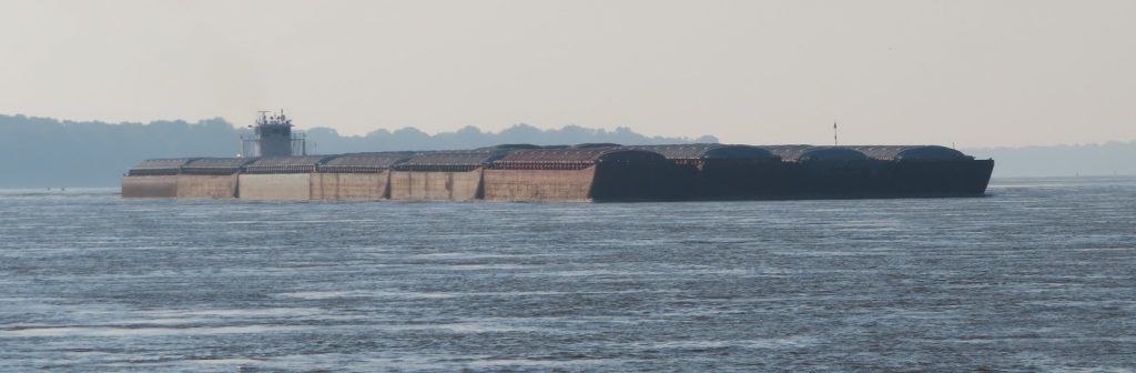
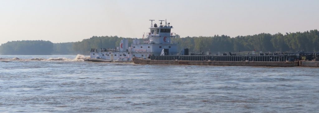
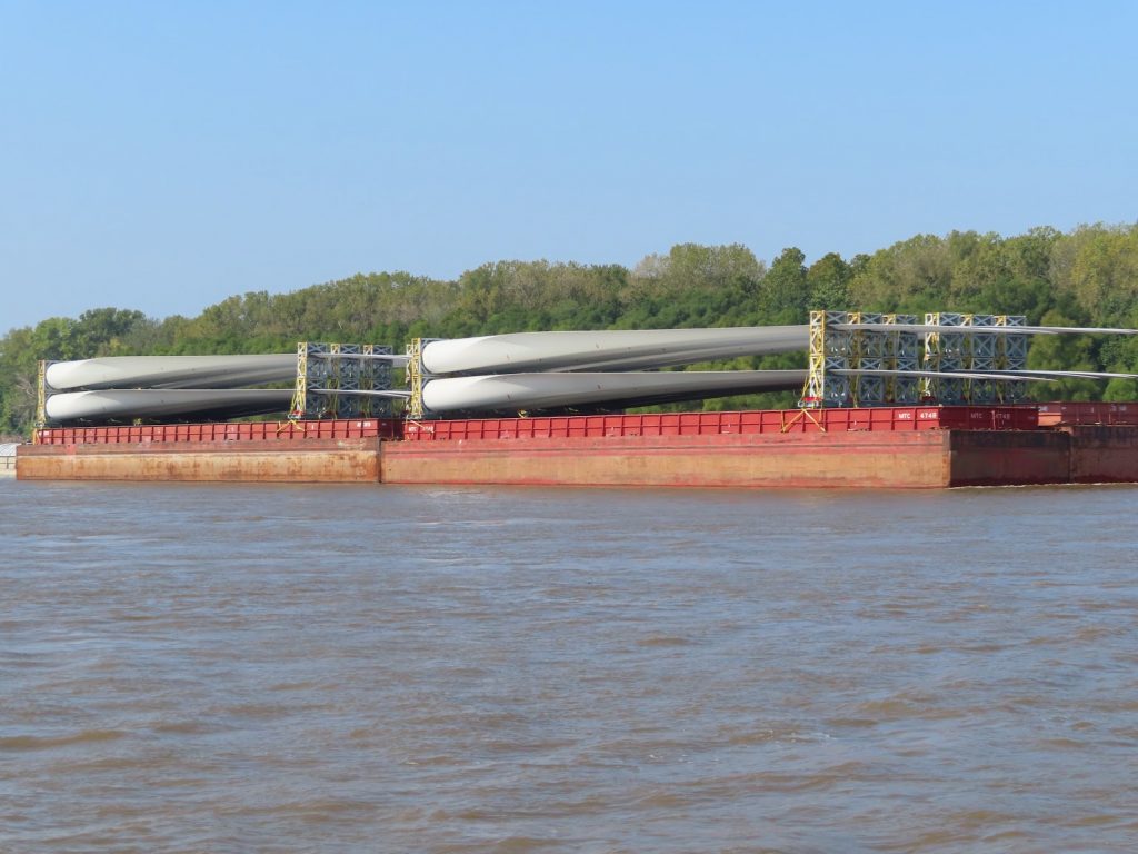
A 6×4 tow, of empty barges (note how high they are floating)These barges are loaded, and the tow is pushing hardA lot of loads start looking the same, but this one, with 8 wind turbine blades per barge, was different
The current seems to be growing, and we get a good 6 mph push for much of the way. It really churns at a few places where underwater structures have been placed to help guide the river around curves.
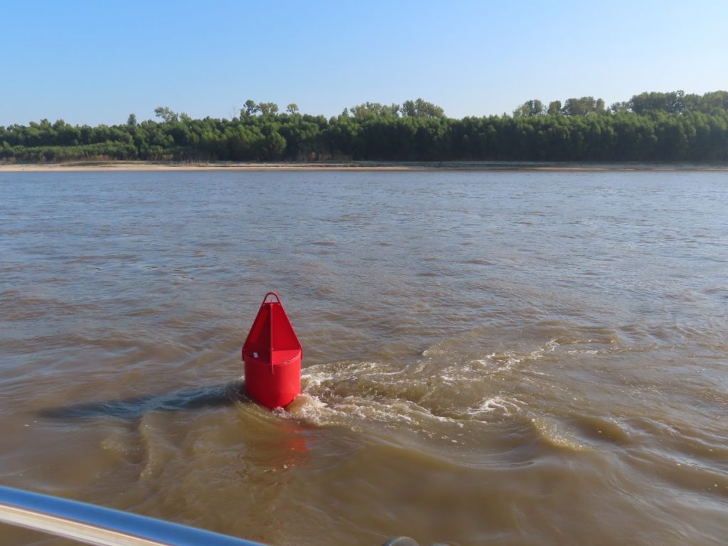
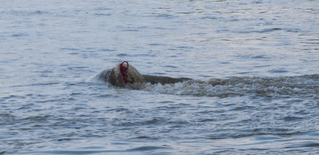
At one point Ben had to aim the boat in between two whirlpools 8 feet across and six feet deep at the center. Yikes! We know where the navigation bouys are supposed to be, but we saw a few that were literally dragged under by the current. Wouldn’t want to hit one if you got too close.
We see them like this in the morning – quite a currentWe see some like this in the afternoon, completely submerged by the strength of the current
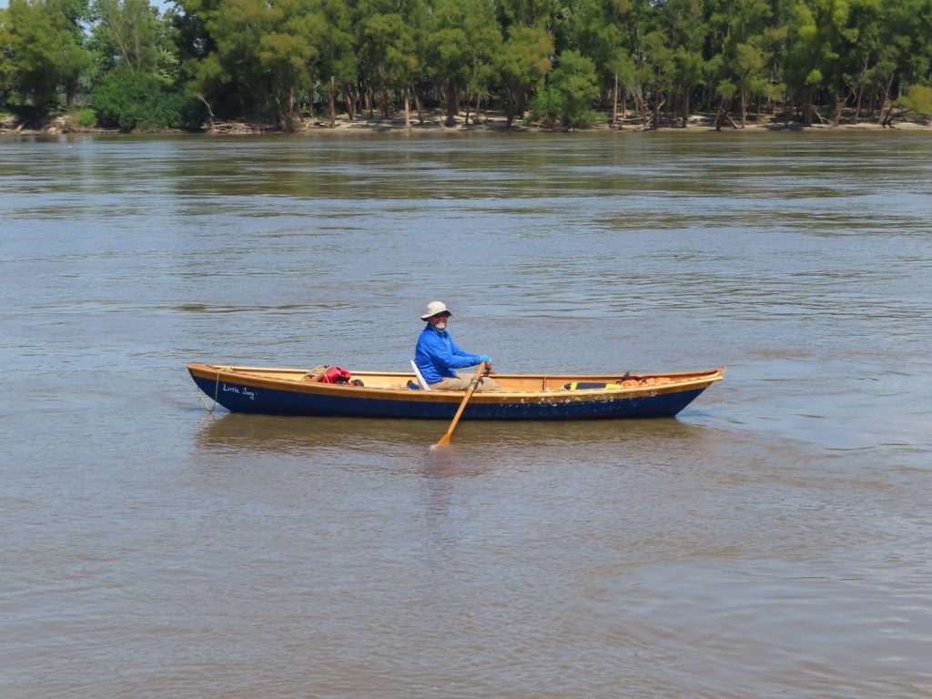
At one point, we look ahead, and see what looks like a rowboat. Huh?
We slowed down to idle and pulled up to find a guy who is rowing down the river, headed for New Orleans. Wow! Hope he has a ground crew, since he seems to be traveling pretty light.
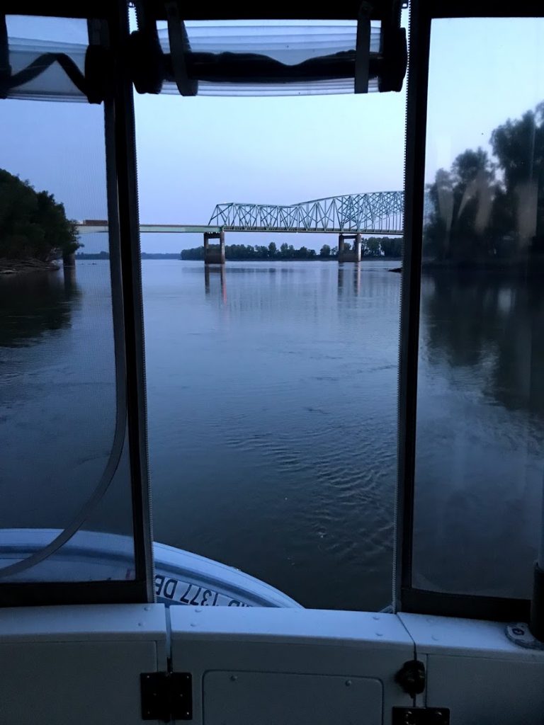
Finally, after a long day (113 miles! – our furthest travel day of the loop so far), we get to our anchorage at Boston Bar, up behind a small island, where the current is only a couple miles per hour. The anchor grabs quickly, and we fire up the generator, to cool the boat, and the grill to cook dinner. We hear a lot of road noise from the I-57 bridge, and the tows that passed up and down the river; combined with the heat, worrying about the anchor, given the strong current, and the next day’s trip up the Ohio, we didn’t sleep too well.
So, in two days, we have made it safely down 196 miles of the Mississippi – just over 8 miles to go, and then we will have the Ohio and Cumberland Rivers to tell you about.
September 3-4, 2019 – On the river system, they aren’t exactly set up with a plentiful array of marinas with facilities for big boats, and sometimes the decent anchorages are few and far between. And even some of those are no good if the river level is down (and boy, do they go up and down – we have seen some evidence of where the water gets to during flood stage, and its mind-blowing.)
So, sometimes the places that you can tie up that have been found by prior generations of Loopers are, shall we say, somewhat ‘colorful’.
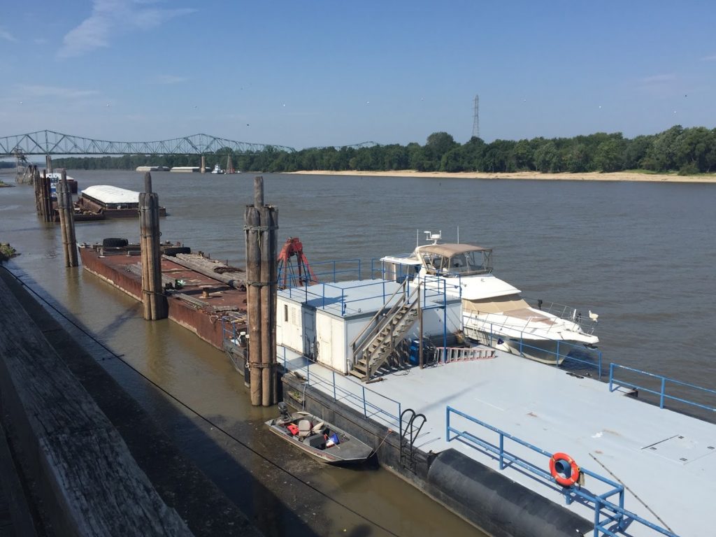
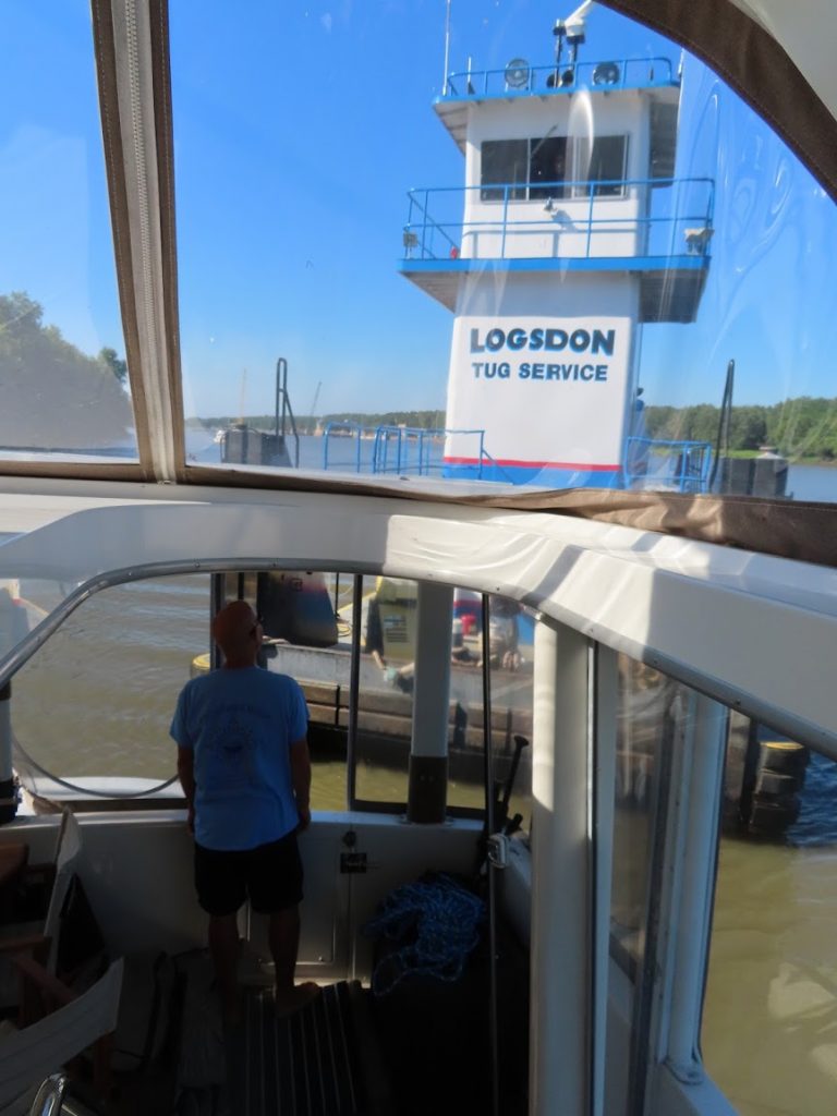
Take, for example, Beardstown, IL, where a tug service lets transient boats tie up to a couple of their work barges out front. Nothing fancy (no pool, restrooms, boater’s lounge). No services (power, water, pumpout, wifi). Still, a dollar per foot.
We’ll take it!
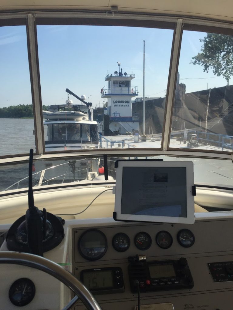
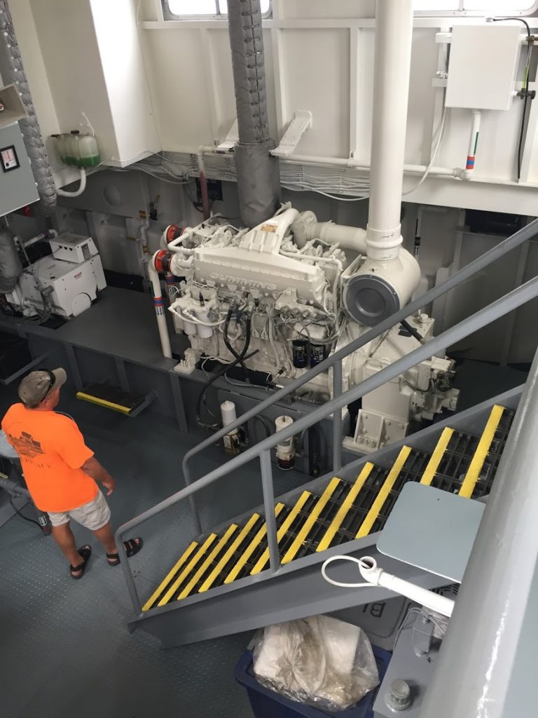
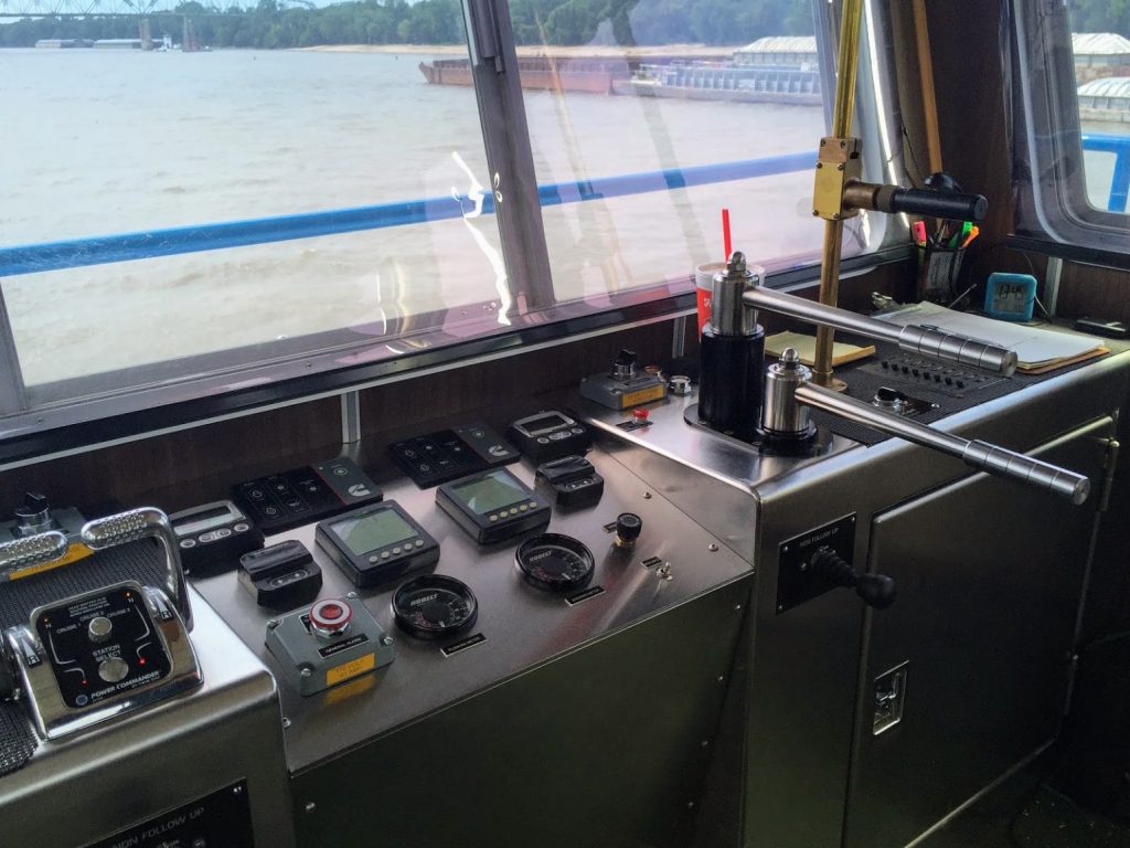
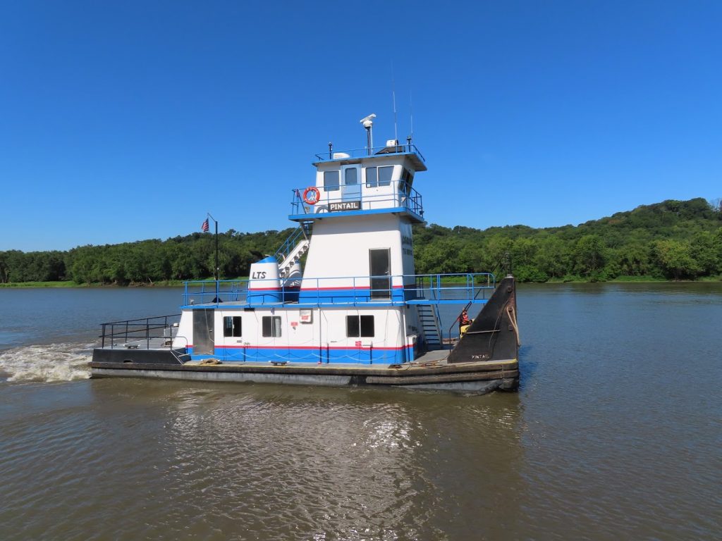
When a second tug pulls up, right in front of The Lower Place, we ask if we can get a tour. ‘Sure’, and we go aboard for nearly an hour, talking to the Captain about his boat, and the river industry in general. These small tugs serve a ‘middleman role’, as he put it, moving barges around in this segment of the river, taking empties to the grain silos to be loaded, shuffling them once full into the tow packages that the bigger tows will take up or down the river. They sometimes help the larger loads to maneuver, and if necessary, split their loads so that they can lock down in two back-to-back lifts if too large to fit in the lock chamber.
We walk down into town to eat lunch at a ‘bistro’ (meh), and later to a really good Mexican restaurant. There is a sizable Latino population here, servicing the packing plants, apparently, and we agreed the restaurant was among the best Mexican food we’d had anywhere.
The next morning we shoved off for the Lagrange Lock, and that’s when our luck on getting a quick and smooth lockage came to an end. There were multiple split loads to be locked ahead of us, so that was at least 2 up and down cycles each. In addition to the fact that they seemed to be locking very slowly, the lockmaster informed us that the lock was going to have to be shut down from 1pm to 5pm for some maintenance. Ughh!
As the morning dragged on, it wasn’t looking good. A few more Loopers came along, until there were 5 of us waiting. We had rafted onto The Lower Place, who had anchored, and another small boat (an open center-console) tied off on the other side. That boat was on a 60-day loop plan, so racing along with their big outboard engines kept them on a rapid pace, as long as they could find someplace to stop and fuel.
As we were sitting there, we watch as one of the tugs starts coming over, right toward us! He comes up about ten feet from the back of the boat, and the window opens up- it’s the Captain from the tug service – “Hi, I just came over to say good morning!” we chatted a few minutes and then he headed off to help an inbound tow. He promised to put in a good word for us with the lockmaster.
Ben flew the drone to get a birds-eye view of what was going on; you can see our buddy on the small tug helping to get the load positioned to enter the lock.
Finally, just before 12:30, we got the word that they’d be able to fit us through. Over a 5 hour wait (!), and about 6 hours travel still to do to make it to our next funky stop.
We didn’t take a picture, but found this online from 2014; still looks the same…
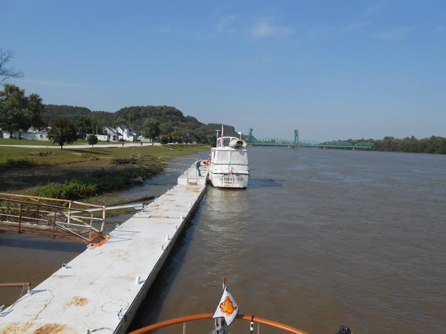
We pushed along and made it to Mel’s Riverdock Restaurant by about 6:30; a somewhat rickety metal dock, next to a restaurant that allowed free tie-ups to dine, or charged $25 to overnight. It served our needs, and once everyone (The Lower Place and Noren) was tied up, we went up to the restaurant for a very tasty meal. They were out of a few things, but we all managed to find something, and there was a lot of it!
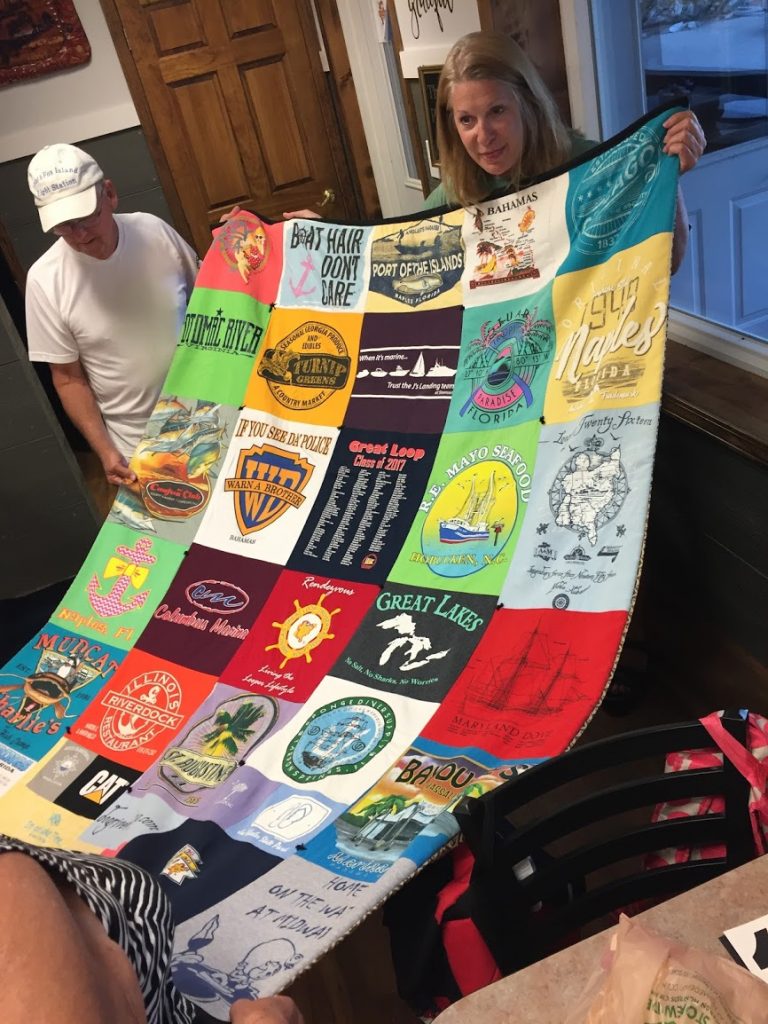
Robin (The Lower Place) had brought with her a t-shirt quilt that she had made after their first Loop; it contained a shirt from Mel’s. She had promised them to show it if she ever came back, and here she was.
We went back in the morning for breakfast, and all heads turned as we non-regulars came in. We heard a lot of teasing at the next table about what color fishing lures to use, and whether a blue & white one worked as well as a white and blue one. There were a couple former Marines and we joined in the military conversation. It was fun, and the people were all very nice. We thanked the restaurant for allowing our stay and for the great food.
Meanwhile, the fog had burned off, and we were ready to head down to the end of the Illinois, and enter the Mississippi.
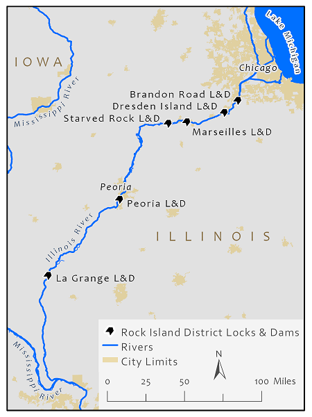
August 31 – September 2, 2019 – For months, we’d been dreading this part of the trip. Two of the big locks on the Illinois River have been operating on reduced schedules (6 at night to 6 in the morning), so that critical preparatory construction work can be completed that will allow them to be ‘dewatered’ (emptied) next year for a months-long project of repairs that will essentially preclude a ‘conventional’ Great Loop trip in 2020.
Although commercial traffic does move 24/7 on the locks, and they probably think nothing of locking through in the dark, most pleasure craft would much prefer to operate in daylight. However, the accommodation that the Army Corps of Engineers (who operate the locks) has made during this period is for pleasure boats to lock through at 5:30 AM at Marseilles and Starved Rock locks.
For Marseilles (pronounced ‘mar – sales’, lest you think you can sashay up with your fancy French pronunciation), that entails leaving from the closest staging marina at 4:00 AM, and traveling in the dark, to arrive by 5:00. So then you can wait, in the dark, if you are lucky enough to be taken down at 5:30. Many boats are not, due to some problem or another at the lock, and are sent back to try later in the day, or the next day. We have been following this on the AGLCA forum for weeks, as we have gotten closer and closer, and the trepidation grew, as we realized we’d be getting there on a New Moon (lunar cycle where the moon is completely dark), to boot.
And then, while chatting with The Lower Place at Joliet, we heard the good news – the construction work was going into a pause over the holiday weekend, and the locks would operate 24/7. So we’d get to pass them both in daylight – whew!!
We left Joliet park dock with our new friends, the crew of The Lower Place, Charlie ( law enforcement guy) and Robin (stockbroker). They are almost done their second Loop and know all about rivers.
We made it through the Lockport and Dresden locks pretty smoothly, especially after a tow captain who was next in line at Dresden offered the lockmaster to let us go ahead of him, because he wasn’t going to be able to get through Marseilles anyway…
And then we got to Marseilles. We arrived, and were told it would be just a half an hour, and to go ahead and tie to a mooring cell.
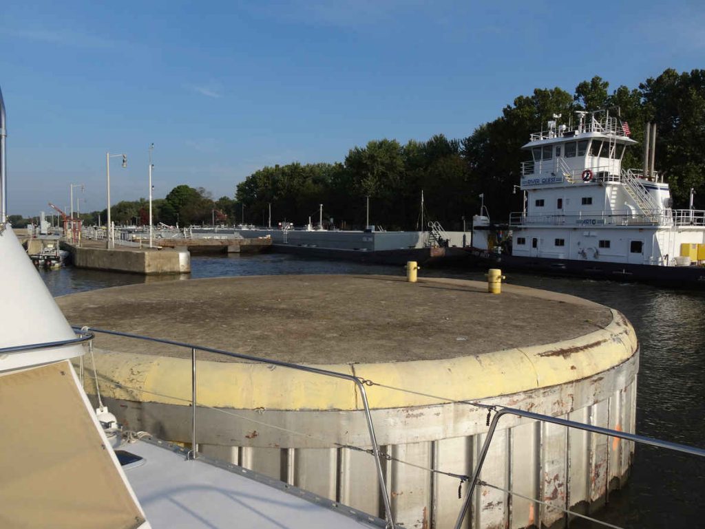
OMG. Gigantic round stations for the big boys to tie to. How do you fender up to tie to something that is curved with a 15′ diameter???
Took this picture from another Looper’s blog – it’s similar to (but a lot cleaner-looking) than the one we tied to
We maneuvered around to approach it from downstream (as the current, rather than the wind was the main factor here). Chantale had the line ready to throw, around a large post on top of the cell, and Ben inched the boat closer and closer. We wound up tapping the rub-rail between the fenders, but Chantale looped the lines and we were secured! We repositioned the fenders and stood by to wait, while discussing just how we’d dismount this beast.
The Lockmaster lets us through after only 30 minutes; we chatted with him, and he was wearing an LSU hat, and an Army shirt. We remarked on the Army connection, and by the time he got back to The Lower Place, Charlie had posted a big Mississippi State flag. Uh-oh! A bit of SEC rivalry there…
We were through the first dreaded lock, and ended a great cruising day arriving at Heritage Harbor, a very nice marina resort; nice new docks, a big party barge with live band, and onsite restaurant and vacation homes – very cute.
Everybody we met was very nice, but the acoustics in the restaurant were awful. It would have made a nice multi-day stop, but we had to take advantage of the Labor Day respite at Starved Rock the next day, so it was early to bed.
As we were preparing to leave the Heritage Harbor marina , Chantale met a lady walking her dog (twice!) and she was sooo nice. She heard we were headed to the Starved Rock Lock and said “I know the lock master – his boat is actually kept right here and his family is on it. I’ll call him and tell him you are coming.” She returned saying that the lock was expecting us and then helped get us off.
There was no answer on the radio when we arrived an hour later, but a nearby tow heard us on the radio and said we could tie up to his forward barges as the out-coming tow would be headed to his stern (where we were holding station). So, we idled up beside him, and tied up to huge cleats two feet long – an easy tie up.
The Lockmaster came on the radio then, and said it really wasn’t such a good idea to tie up to a red-flag load (hazardous cargo – a fuel barge in this case); instead he told us to just hold station over to the left and he’d have us in in fifteen minutes.
All good! We had a very nice talk with Bryce, and gave him a couple slices of Chantale’s banana bread as a thank you.
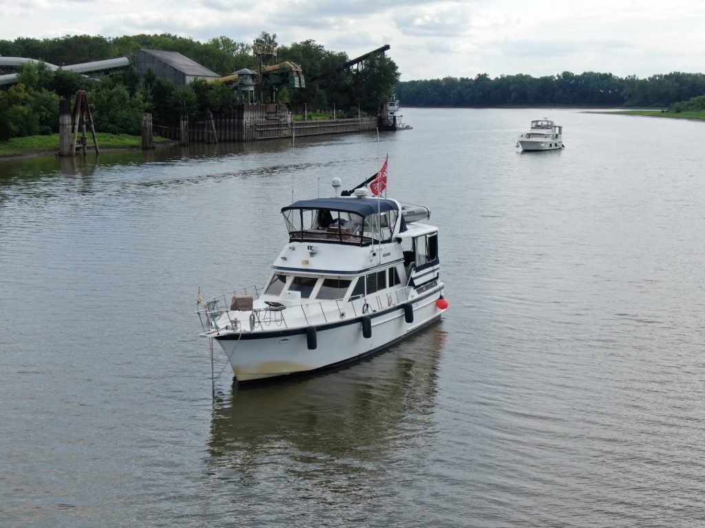
We went for about another 40 miles, and checked out a couple prospective anchorages; two turned out to be too shallow, but The Lower Place finds a good one, and we pull in ahead of them. Very quiet and peaceful, inside an island that separates us from the main channel. The Lower Place crew comes over for a celebratory drink – through the two problem locks – and we settle in for a long 75-mile run the next day.
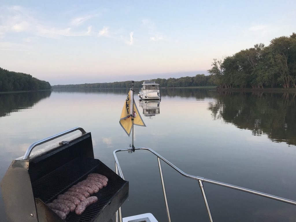
We later discover that they were having bratwurst, when we got this shot of our boat at sunset
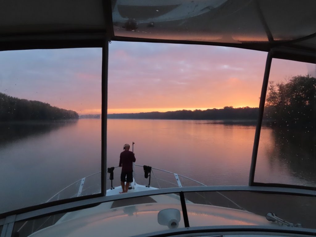
The next morning, Labor Day, it’s foggy, but it burns off quickly, and off we go.
On this section of the river, we start seeing why they had erected the electric fish barrier back near Chicago. Chantale shot this from the flybridge.
Oh. My. God.
We heard later about a formal program they have to help reduce the number of these unwanted fish; see YouTube video of “Carp Cowboys”. We did see some of these boats on the river, but had no idea that’s what they were doing.
And some number of years ago I saw this video; a bit silly, but the fish really jump like that – crazy!!
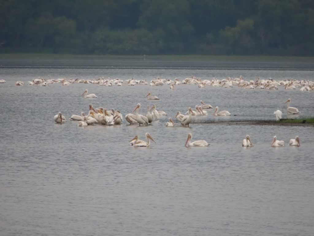
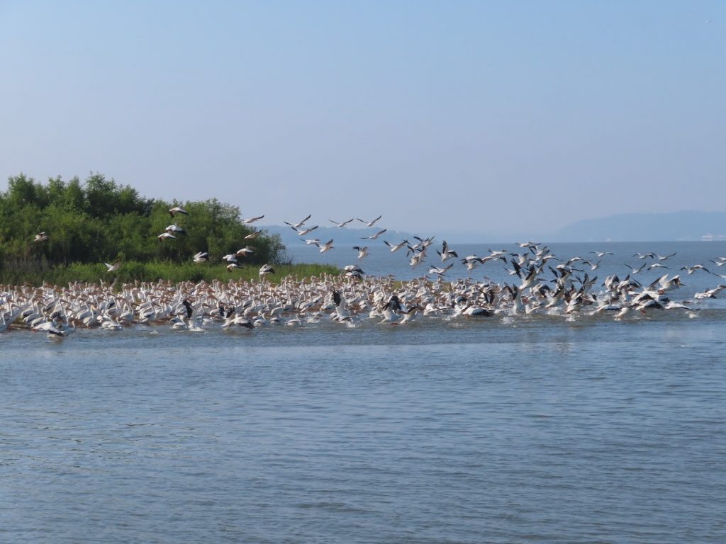
While crossing Peoria Lake, we started seeing large flocks of migratory white pelicans.
At the Peoria Lock, we lucked out and got to tie up right at the lock, waiting for it to fill.
At the end of a long 75-mile day, we found a good anchorage outside Havana, Illinois, next to a coal-loading dock (that fortunately, was not still in use).
Ben took the opportunity to fly the drone off the foredeck, and get some nice perspective shots of the river and surrounding topography. Running down the river, all we can see are the trees on the levees, and never much outside that, so getting this peek was quite interesting.
The Chicago Sanitary and Ship Canal, historically known as the Chicago Drainage Canal, is a 28-mile-long (45 km) canal system that connects the Chicago River to the Des Plaines River. It reverses the direction of the Main Stem and the South Branch of the Chicago River, which now flows out of Lake Michigan rather than into it. The related Calumet-Saganashkee Channel does the same for the Calumet River a short distance to the south, joining the Chicago canal about halfway along its route to the Des Plaines. The two provide the only navigation for ships between the Great Lakes Waterway and the Mississippi River system.
The canal was primarily built as a sewage treatment scheme. Prior to its opening in 1900, sewage from the city of Chicago was dumped into the Chicago River and flowed into Lake Michigan. The city’s drinking water supply was located offshore, and there were fears that the sewage could reach the intake and cause serious disease outbreaks. Since the sewer systems were already flowing into the river, the decision was made to dam the river and reverse its flow, thereby sending all the sewage inland where it could be treated before emptying it into the Des Plaines.
You can bet the cities downstream weren’t to happy about that.
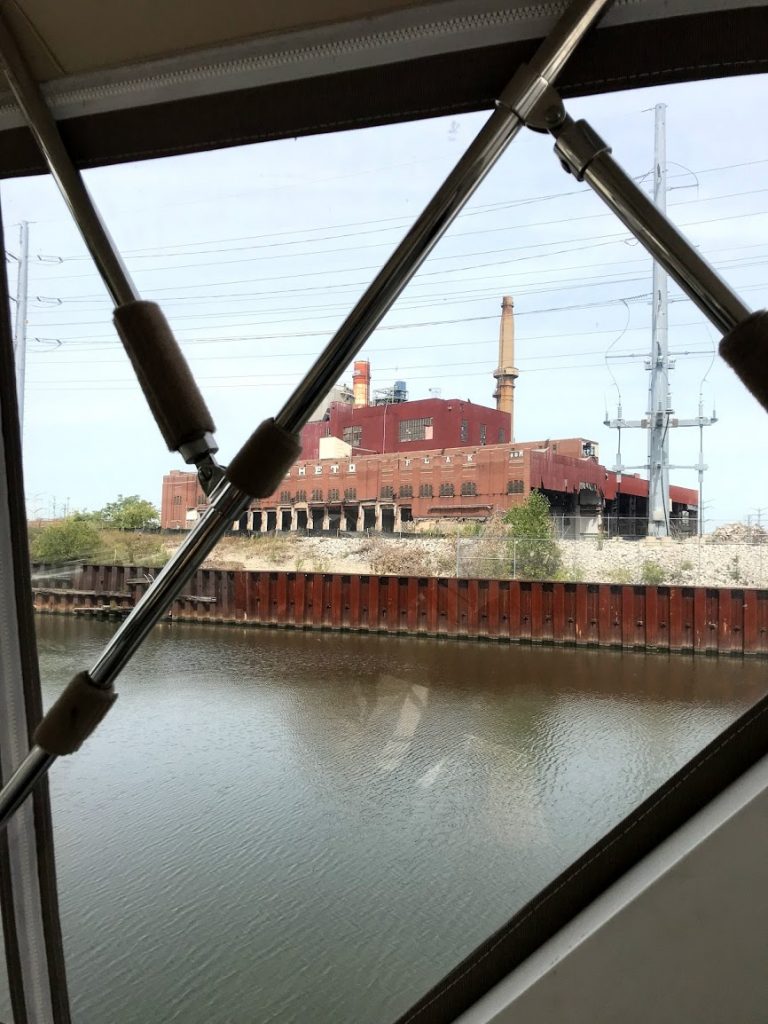
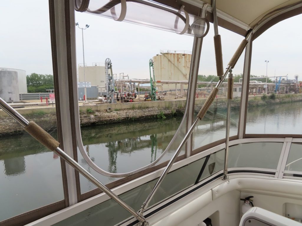
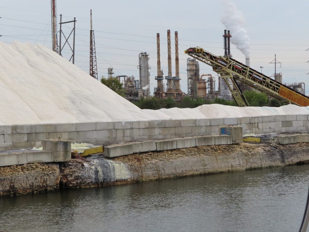
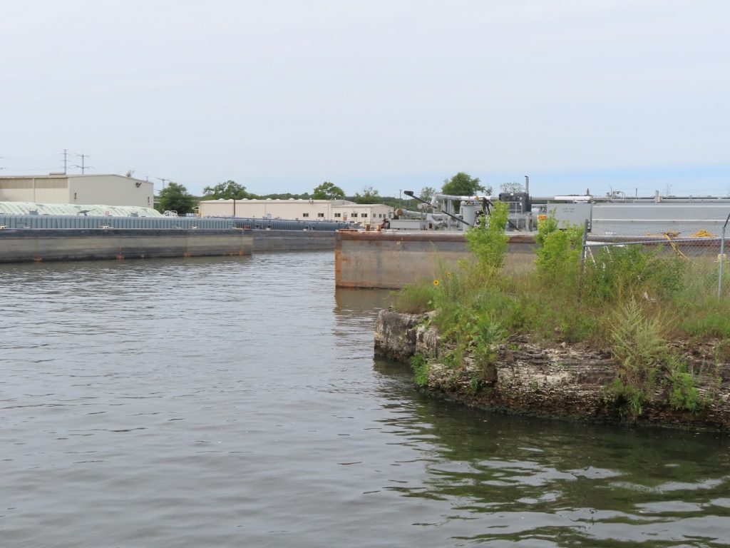
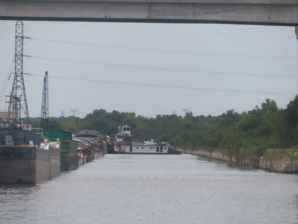
Anyway, we begin to see very industrialized areas, and many, many barges staged (either loaded or unloaded) for carrying goods up or down the river.
Waited for 20 minutes while this tug worked at repositioning some barges.First of many we’d see, and passThe tows aren’t very fast, so everything around them seems to happen in slow motion. Inexorable, stressful slow motion.
We love our AIS, which lets us see the position, movement, and most importantly name, of the tugs and tows up ahead. Is that one moving? Which way? What’s going to pop out of a staging lagoon? How far ahead is he?
We rapidly get into practice with hailing them on the radio, to work out when, and how, it’s safe to pass. It’s nice to be able to say “David Evans, this is At Ease, downbound pleasurecraft, half-mile out, how would you like me to pass?”, instead of “hailing the tugboat… I am a pleasurecraft way out in front of you, and….uh…want to pass you.” I can see them, and more importantly, they can see me, and have been watching me on their screens even before I call them, and can very easily work out whether I should hold back, or go by on the right (‘one whistle’) or on the left (‘two whistle’).
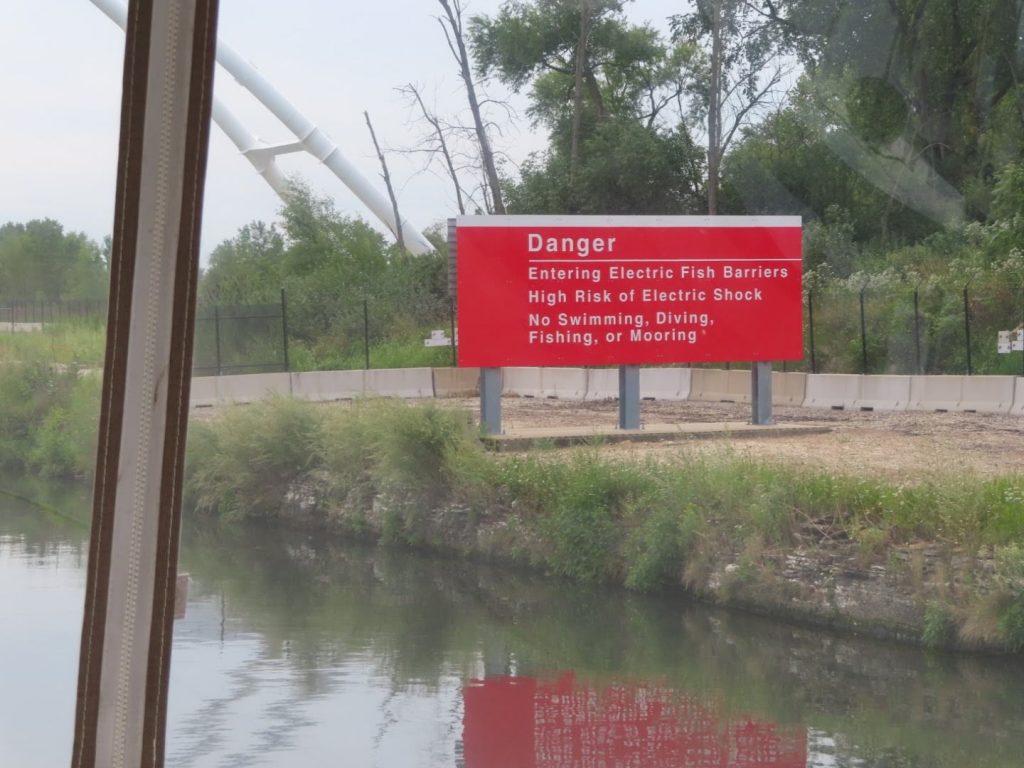
And then we get to this:
The barrier is to control the Asian Carp, an invasive species, that are making their way up the Illinois River. (More on them later.
Cue the soundtrack…
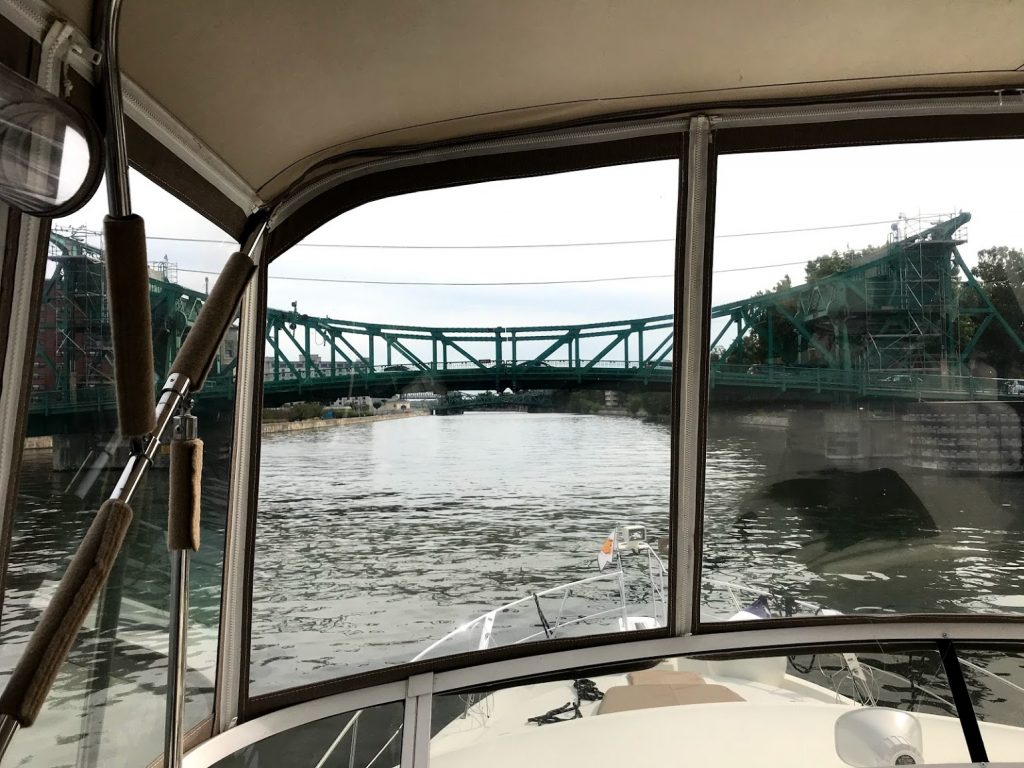
We come past the junction of the Calumet River, and some of the scenery become a little more bucolic. We are planning to make it to Joliet, to tie up at their riverfront park (for free!), after passing under a few lift bridges that the operator tells us are 16’6″. Hope we measured right!
It was tight, but we did.
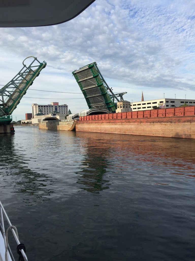
Later, from our spot on the Joliet wall, we watched the bridge lift for a tow.
Later that evening we were contacted by another Looper boat, The Lower Place, coming in after dark; we helped them tie up, and then wound up traveling with them all the way to Alton, IL.
August 30, 2019 – What better way to kick off Labor Day weekend than taking your own boat through downtown Chicago?
We’d taken the architectural boat tour, and ridden a water taxi from Chinatown back to the city center, so we had a feel for the waterway itself, and how busy it could be. It would have been nice to head down right at sunrise, to avoid some of that, but there was an Amtrak railroad bridge that would need to be raised for us, and with morning commuter trains, we were concerned about being trapped there for hours, so we planned to hit it around 10.
We measured, and measured, to convince ourselves that we could clear a fixed railroad bridge south of Chicago, with a clearance of 17’6″. It’d be terrible to get there, and have to backtrack. We normally are 19′ high, to our antenna tips, but we folded down our antennas and the radar mast, to make us 16′. We are pretty sure…
We installed the radar unit and these antennas on a hinged base, to enable us to reduce our air draft like this; the two VHF antennas, on the sides of the radar arch, also pivot to fold down.
The Chicago Harbor Lock, separates the Chicago River from Lake Michigan, and we left our mooring for a short 15 minute trip into the lock, then, it’s into the city.
We took this picture of the lock from atop 360Chicago. Note that due to high water on Lake Michigan, the breakwater in the lower part of the photo is underwater.
After clearing the lock, it was one bridge after another – these are mostly 18-20 feet, but they sure look close! We had to be alert for the water taxis, which zigzag back and forth from docks on either side, and stopped a few times to let them go.
Here are some videos taken while going through the city.
Our friends who had gone through a day earlier had to wait for three trains at the Amtrak bridge, and told us to plan to hit it after 10. We did, but still had to wait about 15 minutes before it would lift for us – here’s a video of the lift.
The trip from here began to get more and more industrial, and pretty soon we are facing the lowest fixed bridge (it opened, once upon a time, but not any more) that we have to cross under in order to continue.
This is the bridge – if we can’t clear it, we turn around…It looks low, but the gage on the side tells us it’s well over 17, so we should be OK…